Collection

Collection: 10051 - George Kimball Dike Papers
Folder: MAP.003
Item: 00348
Date: circa 1884
Title: Copy of survey drawing, Township 131 Range 79 W of the 5th Principal Meridian
Collection: 10051 - George Kimball Dike Papers
Folder: MAP.003
Item: 00350
Date: circa 1884
Title: Copy of survey drawing, Township 132 N Range 79 W of the 5th Principal Meridian
Collection: 10051 - George Kimball Dike Papers
Folder: MAP.003
Item: 00352
Date: circa 1894
Title: Copy of survey drawing, Township 133 N Range 79 W of the 5th Principal Meridian
Collection: 10051 - George Kimball Dike Papers
Folder: MAP.003
Item: 00354
Date: circa 1888
Title: Copy of survey drawing, Township 133 N Range 79 W of the 5th Principal Meridian
Collection: 10051 - George Kimball Dike Papers
Folder: MAP.003
Item: 00356
Date: circa 1888
Title: Copy of survey drawing, Township 134 N Range 79 W of the 5th Principal Meridian
Collection: 10051 - George Kimball Dike Papers
Folder: MAP.003
Item: 00358
Date: circa 1905
Title: Marked up copy of survey drawing of Township 136 N Range 102 W of the 5th Principal Meridian
Collection: 10051 - George Kimball Dike Papers
Folder: MAP.003
Item: 00360
Date: circa 1884
Title: Copy of survey drawing, Township 136 N Range 76 W of the 5th Principal Meridian
Collection: 10051 - George Kimball Dike Papers
Folder: MAP.003
Item: 00362
Date: circa 1884
Title: Copy of survey drawing of Township 137 N Range 75 W of the 5th Principal Meridian
Collection: 10051 - George Kimball Dike Papers
Folder: MAP.003
Item: 00364
Date: circa 1883
Title: Copy of survey drawing of Township 136 N Range 77 W of the 5th Principal Meridian
Collection: 10051 - George Kimball Dike Papers
Folder: MAP.003
Item: 00365
Date: circa 1875
Title: Copy of survey drawing of Township 138 N Range 75 W of the 5th Principal Meridian
Collection: 10051 - George Kimball Dike Papers
Folder: MAP.003
Item: 00367
Date: circa 1884
Title: Copy of survey drawing of Township 138 N Range 93 W of the 5th Principal Meridian
Collection: 10051 - George Kimball Dike Papers
Folder: MAP.003
Item: 00369
Date: circa 1900
Title: Copy of survey drawing of Township 139 N Range 101 W of the 5th Principal Meridian
Collection: 10051 - George Kimball Dike Papers
Folder: MAP.003
Item: 00371
Date: 11/1960
Title: Part of a plat of sections 11 & 14 township 144 N range 84 W showing the Lewis and Clark Camp Site and highway
Collection: 10051 - George Kimball Dike Papers
Folder: MAP.003
Item: 00373
Date: Undated
Title: Diagram showing the Fort Buford Military Reservation and vicinity, North Dakota and Montana

Enter a subject or term in one or both of the “Search” boxes.

  • “Item Detail” searches the Title, Creator and Summary fields of all item-level records.
  • “Collection Number” searches the Collection Number field only and requires an exact match.

The “DETAILS” button provides additional information about an item, as well as the following options:

  • “Collection Summary” details the contents of the entire collection in which the selected item is located.
  • You can print the image and its corresponding details by selecting “Print".
  • “Digitized Images from the Collection” returns a list of all digitized items within that collection (available from the “Collection Summary” screen).

Click on image to expand/zoom the image view.

“Photobook home” takes you back to the main Photobook page where you can start a new search.

“Featured Collections” showcases new and/or popular collections and the digitized images within those collections.


Information on how to order copies is located here.

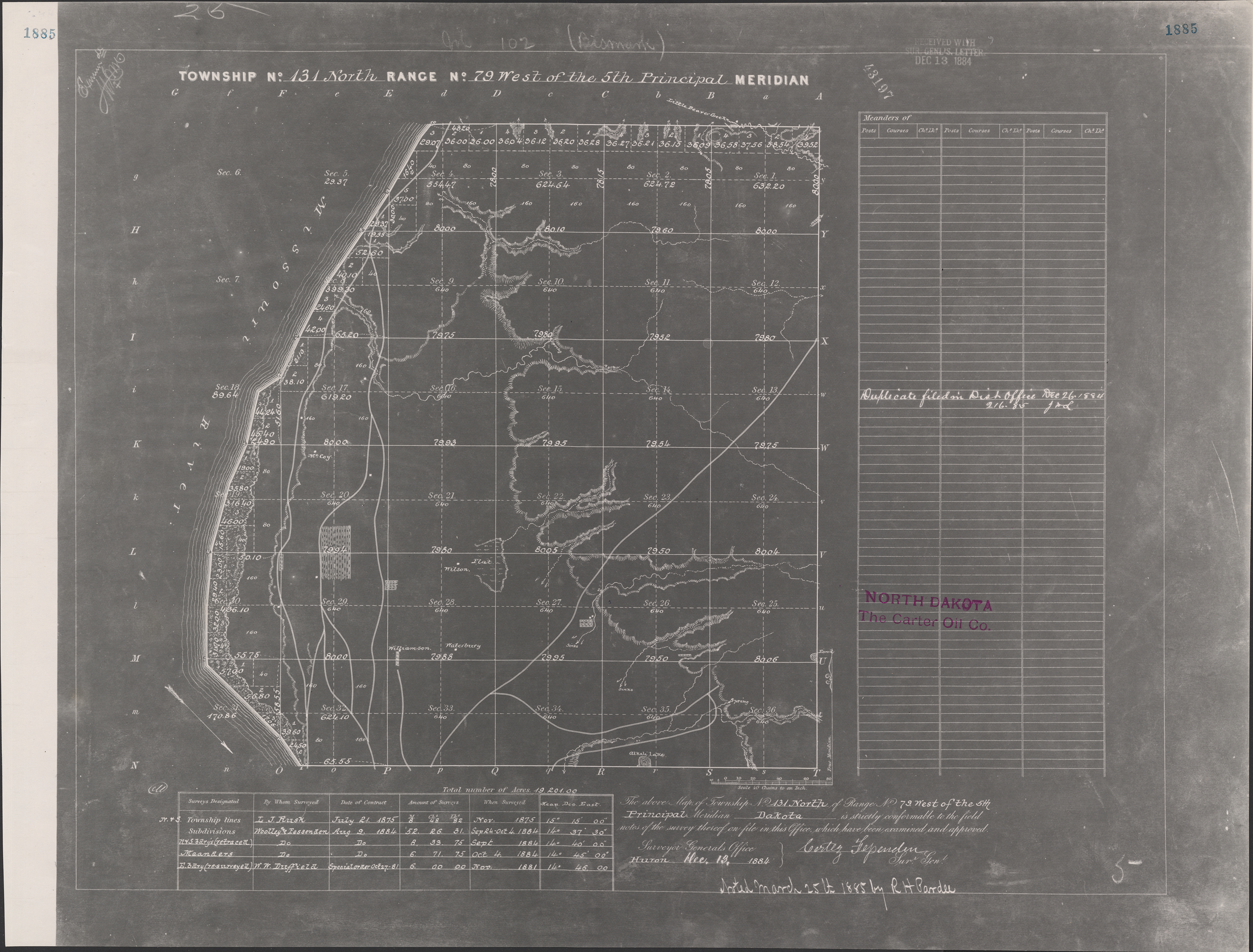
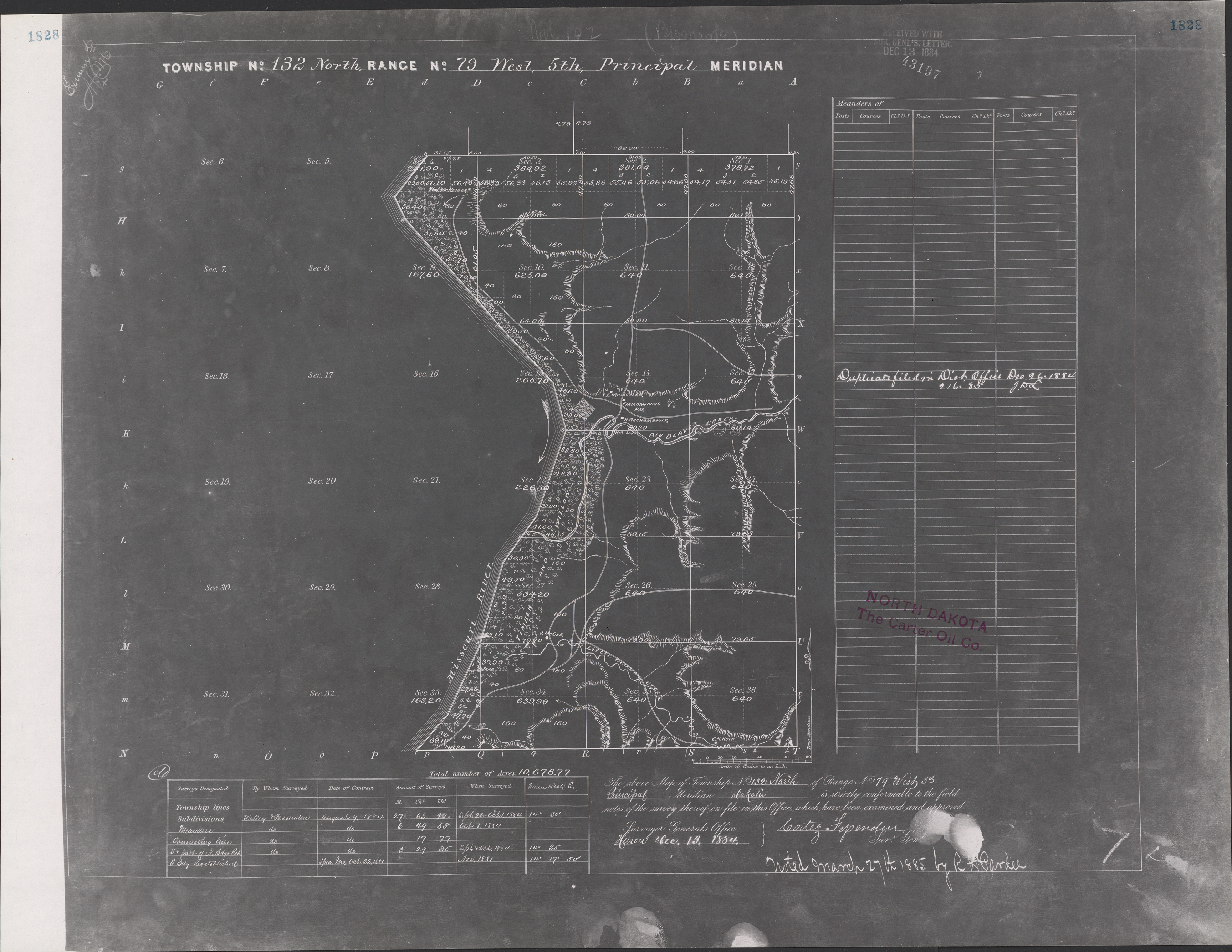
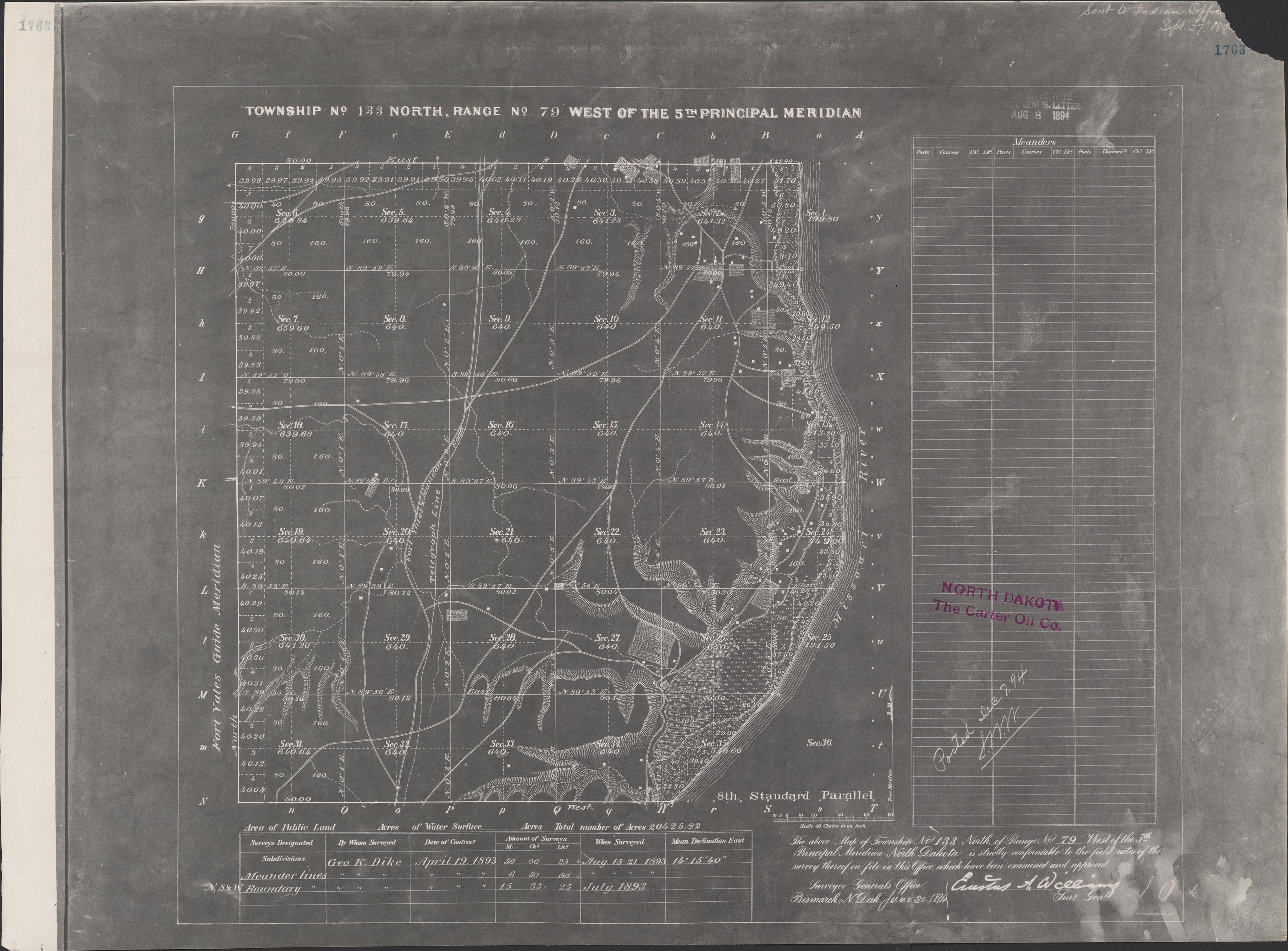
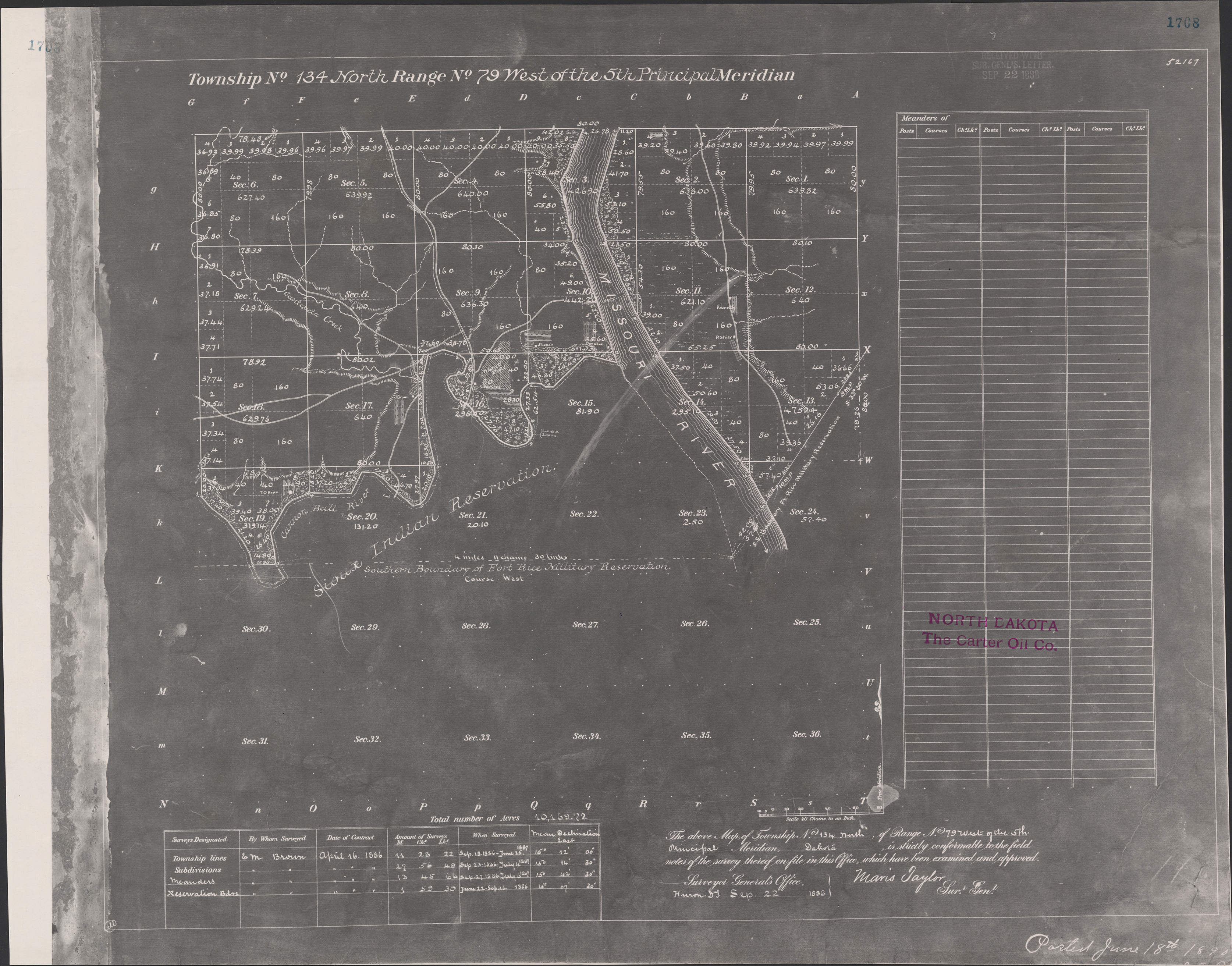
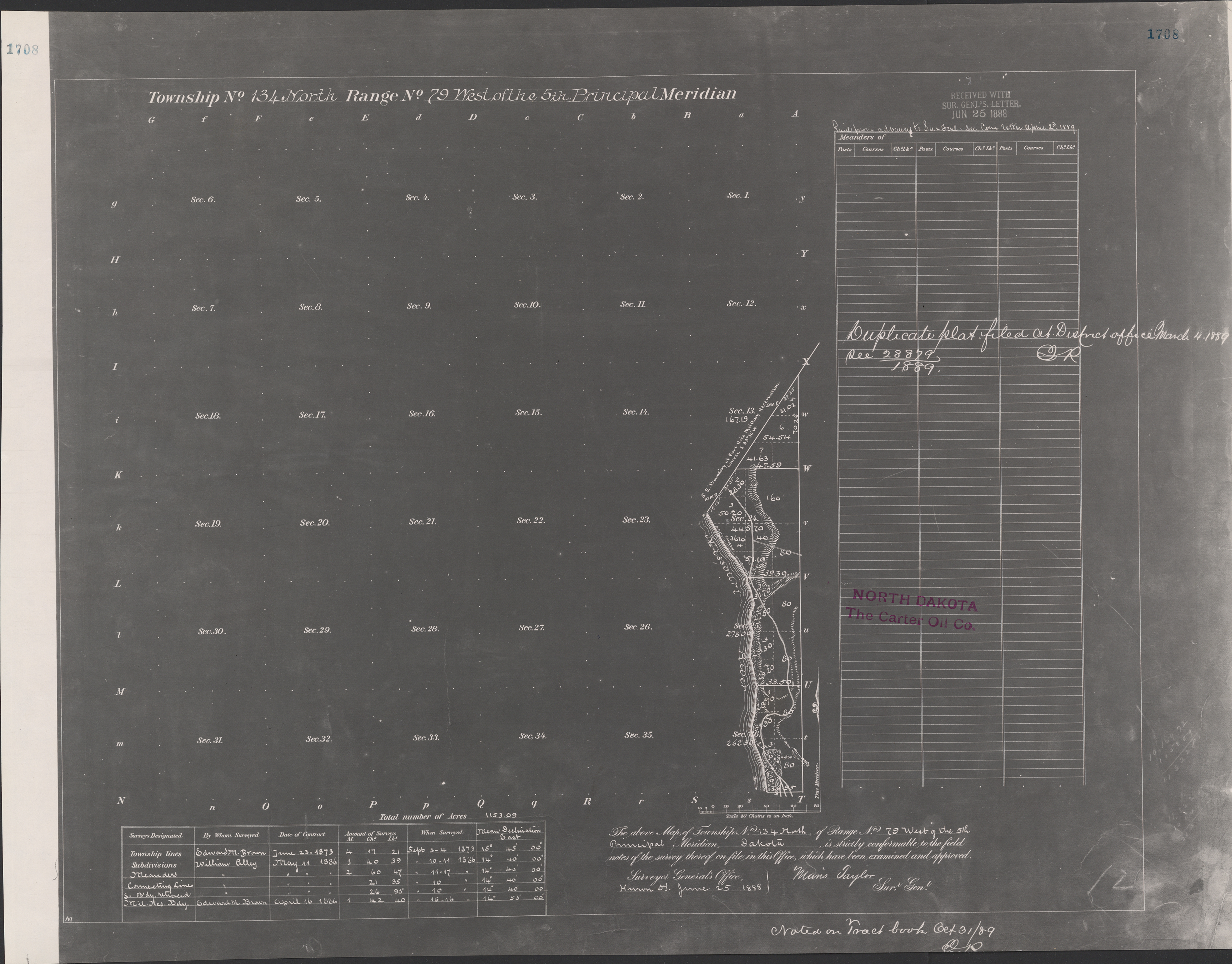
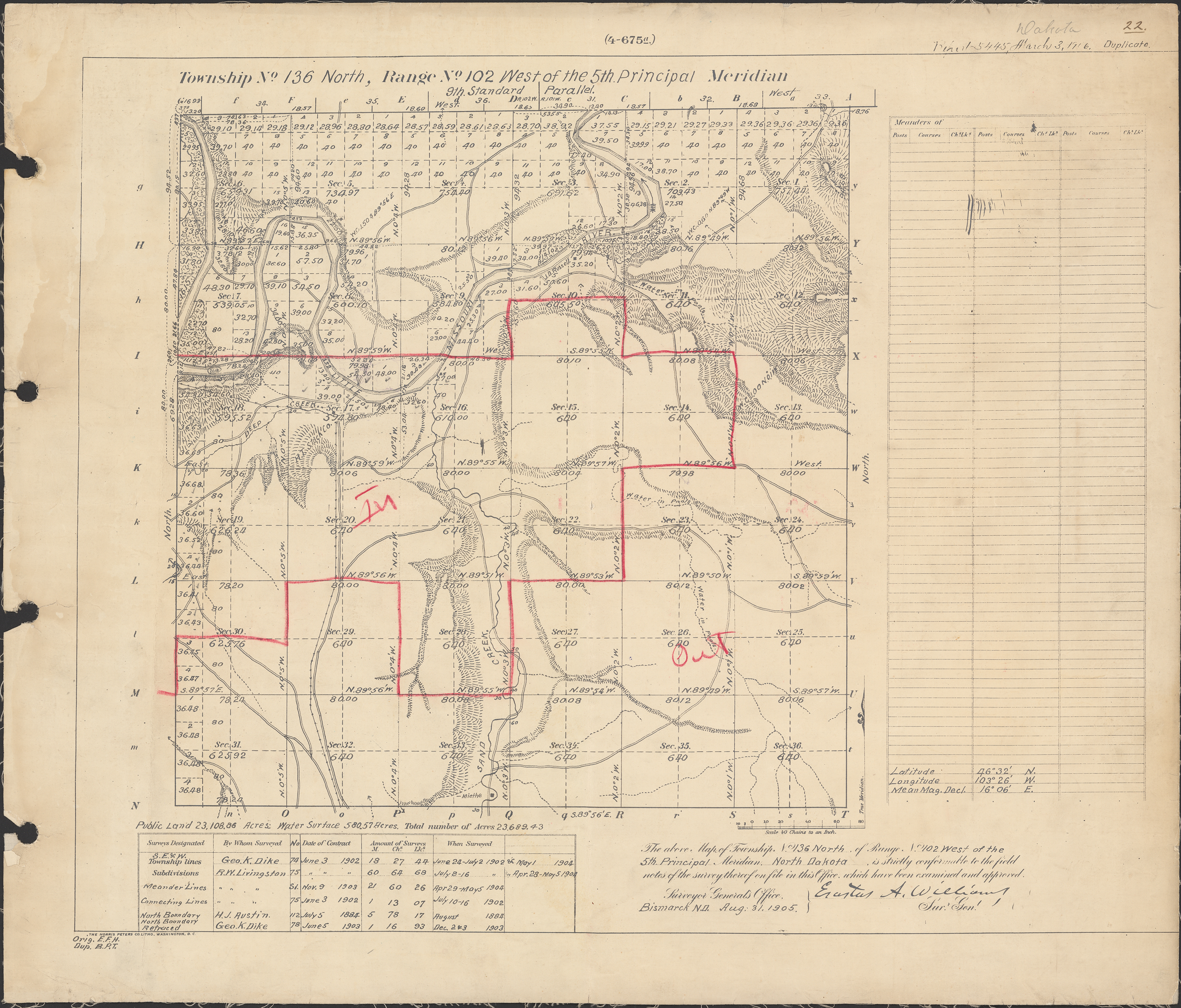
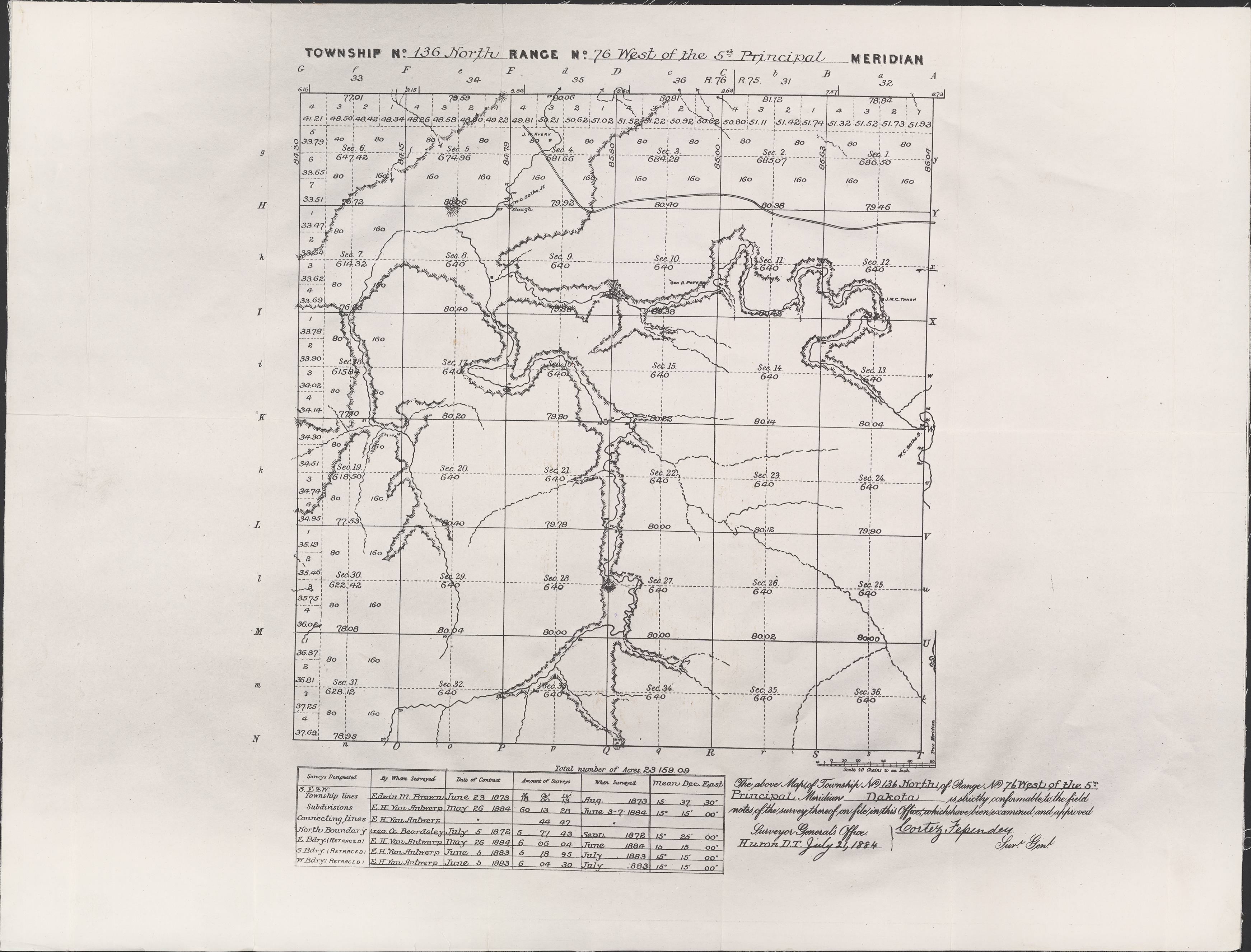
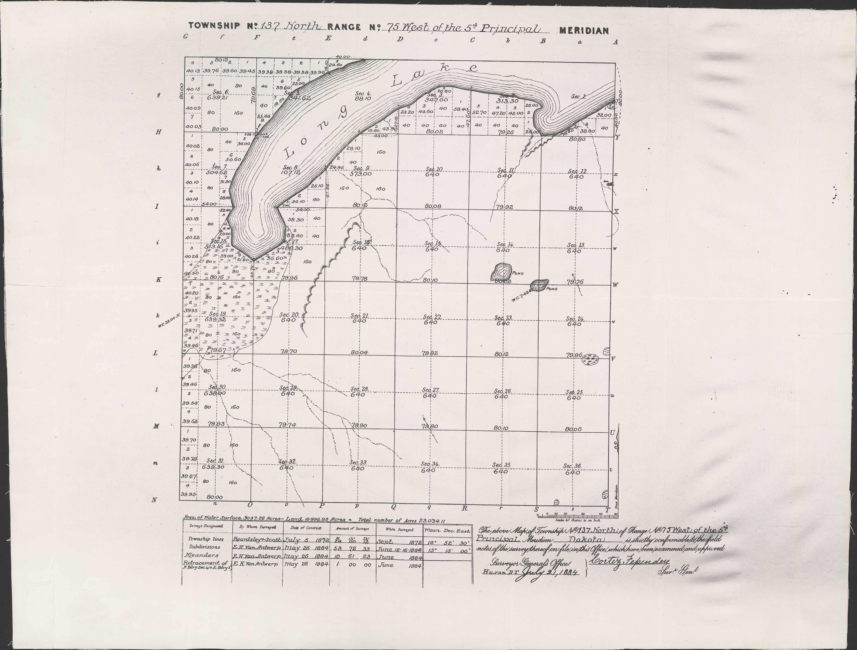
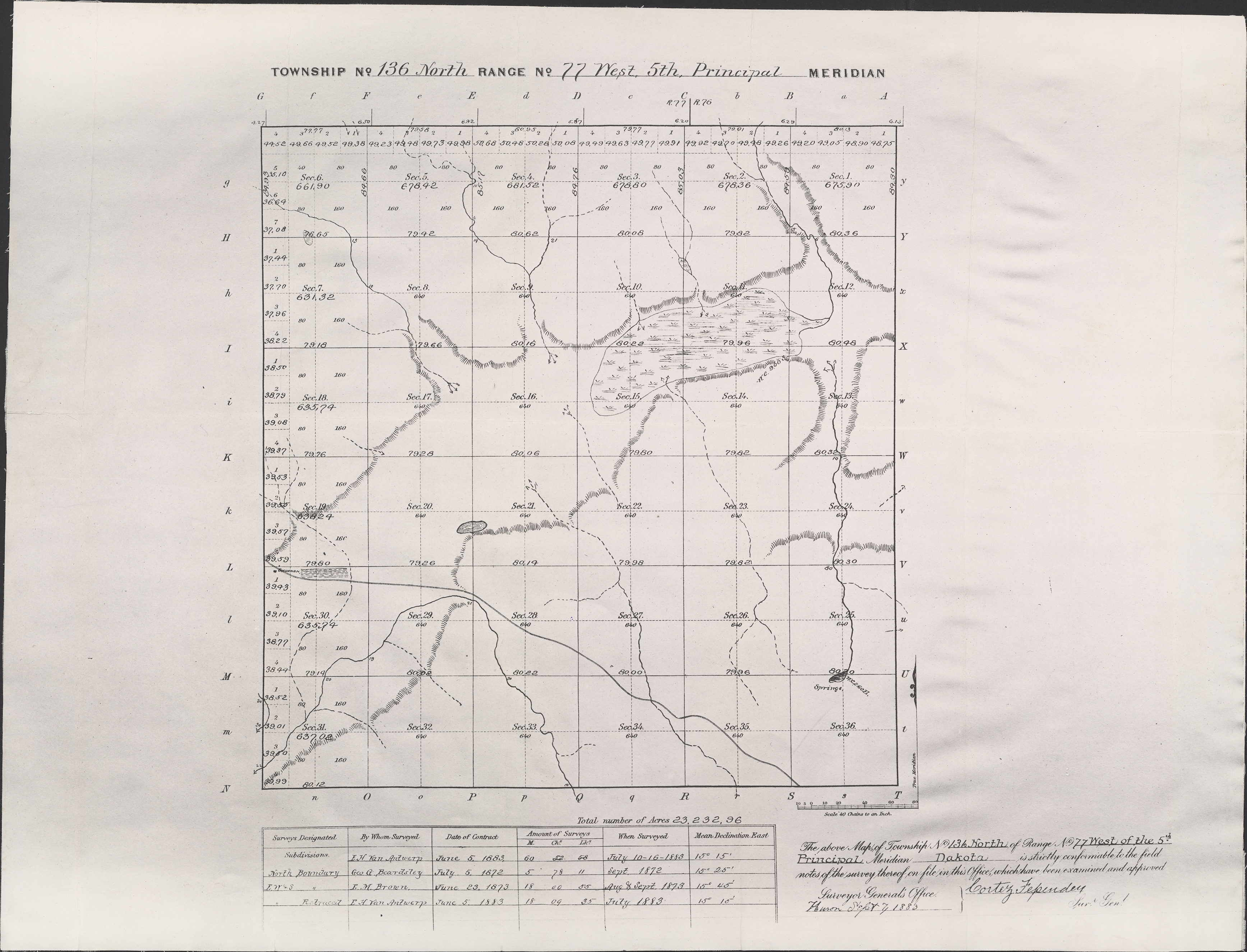
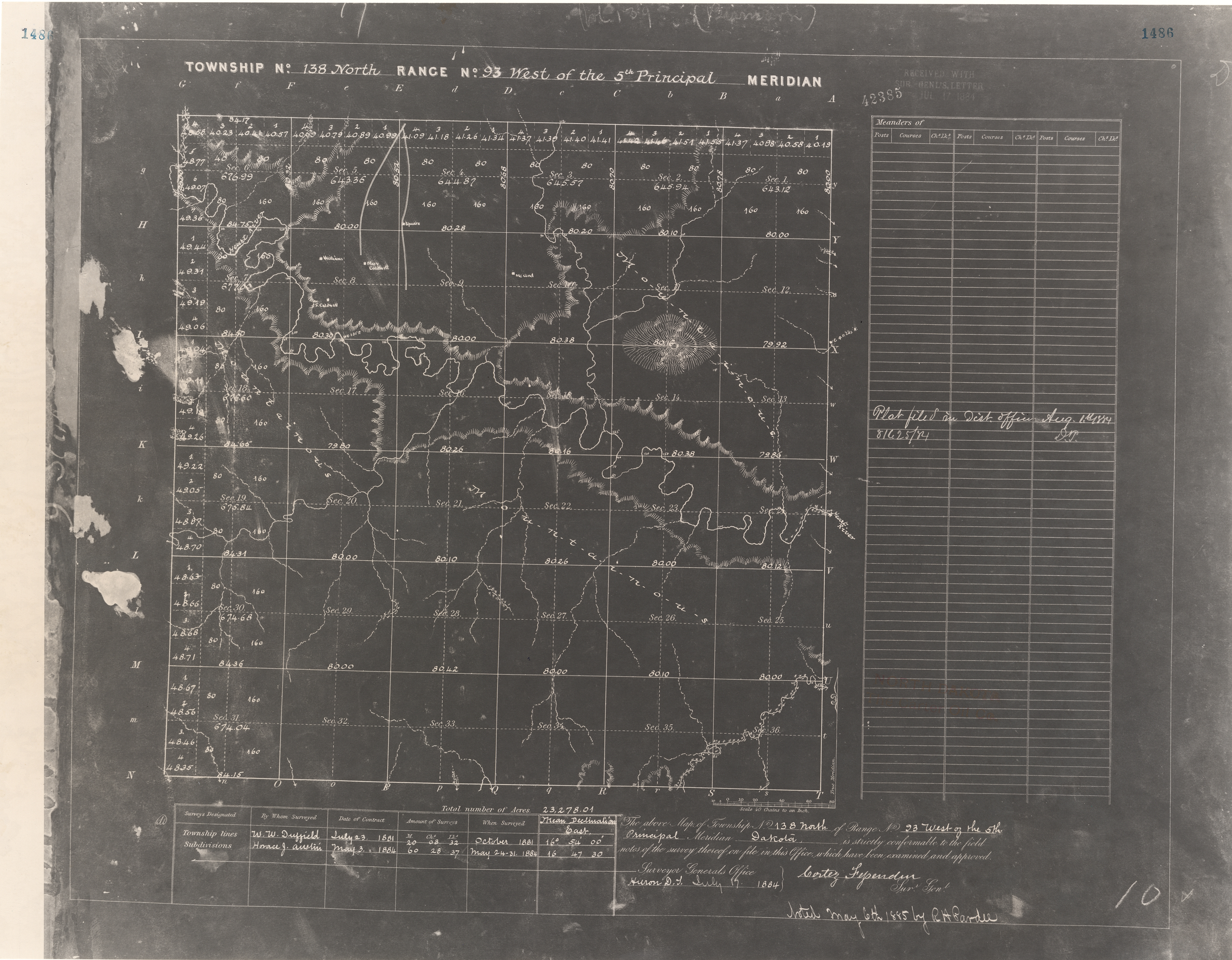
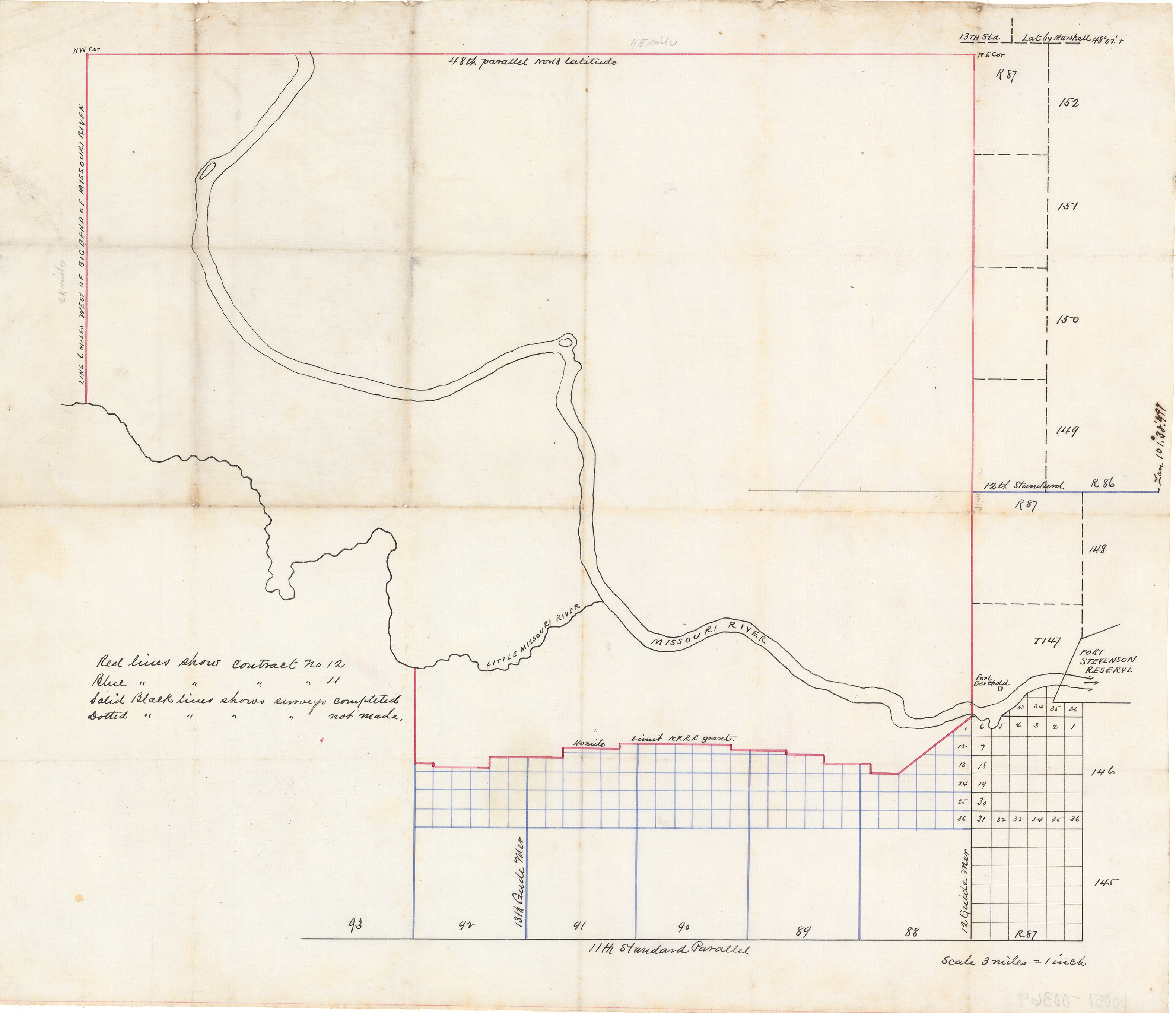
The collections preserved in the North Dakota State Archives include over a million images. Only a small percentage of these images have been digitized. This photo gallery provides a preview of the images that have been digitized.

For more information on the non-digitized images, please refer to the finding aids found on our website at history.nd.gov, or ask a member of our reference staff for assistance.