Collection: 631.47784 L312s 1908 - Soil map, reconnoissance [sic] survey, western North Dakota sheet / __ __soils surveyed by Macy H. Lapham and party
Folder: Library
Item: 631.47784 L312s 1908
Date: 1908
Creator: Lapham, Macy H
Title: Soil map, reconnoissance [sic] survey, western North Dakota sheet / __ __soils surveyed by Macy H. Lapham and party
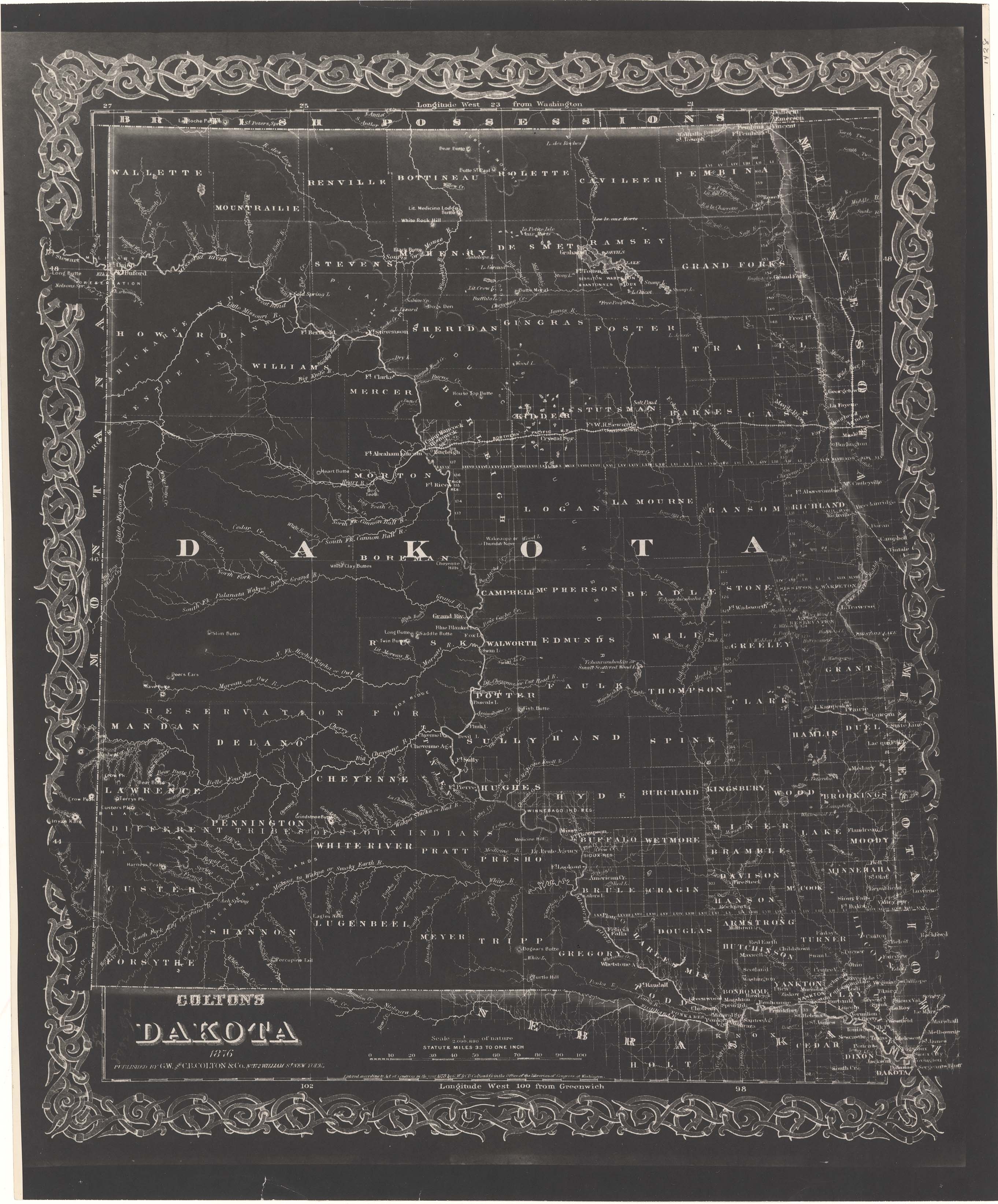
Collection: 978.402 G11c 1876 - Colton's Dakota / __ __G.W. and C.B. Colton & Co
Folder: Library
Item: 978.402 G11c 1876
Date: 1876
Creator: G.W. & C.B. Colton & Co
Title: Colton's Dakota / __ __G.W. and C.B. Colton & Co
Collection: 970.04 W4224n 1830 - Nord America : __entworfen und gezeichnet / __von C.F. Weiland ; im Verlage des Geograph. Instituts., 1830
Folder: Library
Item: 970.04 W4224n 1830
Date: 1830
Creator: Weiland, C. F.--(Carl Ferdinand),--1782-1847
Title: Nord America : __entworfen und gezeichnet / __von C.F. Weiland ; im Verlage des Geograph. Instituts., 1830
Collection: 978.402 R186d 1876 - Rand, McNally & Co.'s indexed map of Dakota showing the railroads in the territory and the express company doing business over each : __also counties, islands, lakes & rivers together with every post office, railroad station or town, carefully indexed, referring to the exact location where each may be found on the map / __Rand, McNally & Co., Printers and Engravers
Folder: Library
Item: 978.402 R186d 1876
Date: 1876
Creator: Rand McNally and Company
Title: Rand, McNally & Co.'s indexed map of Dakota showing the railroads in the territory and the express company doing business over each : __also counties, islands, lakes & rivers together with every post office, railroad station or town, carefully indexed, referring to the exact location where each may be found on the map / __Rand, McNally & Co., Printers and Engravers
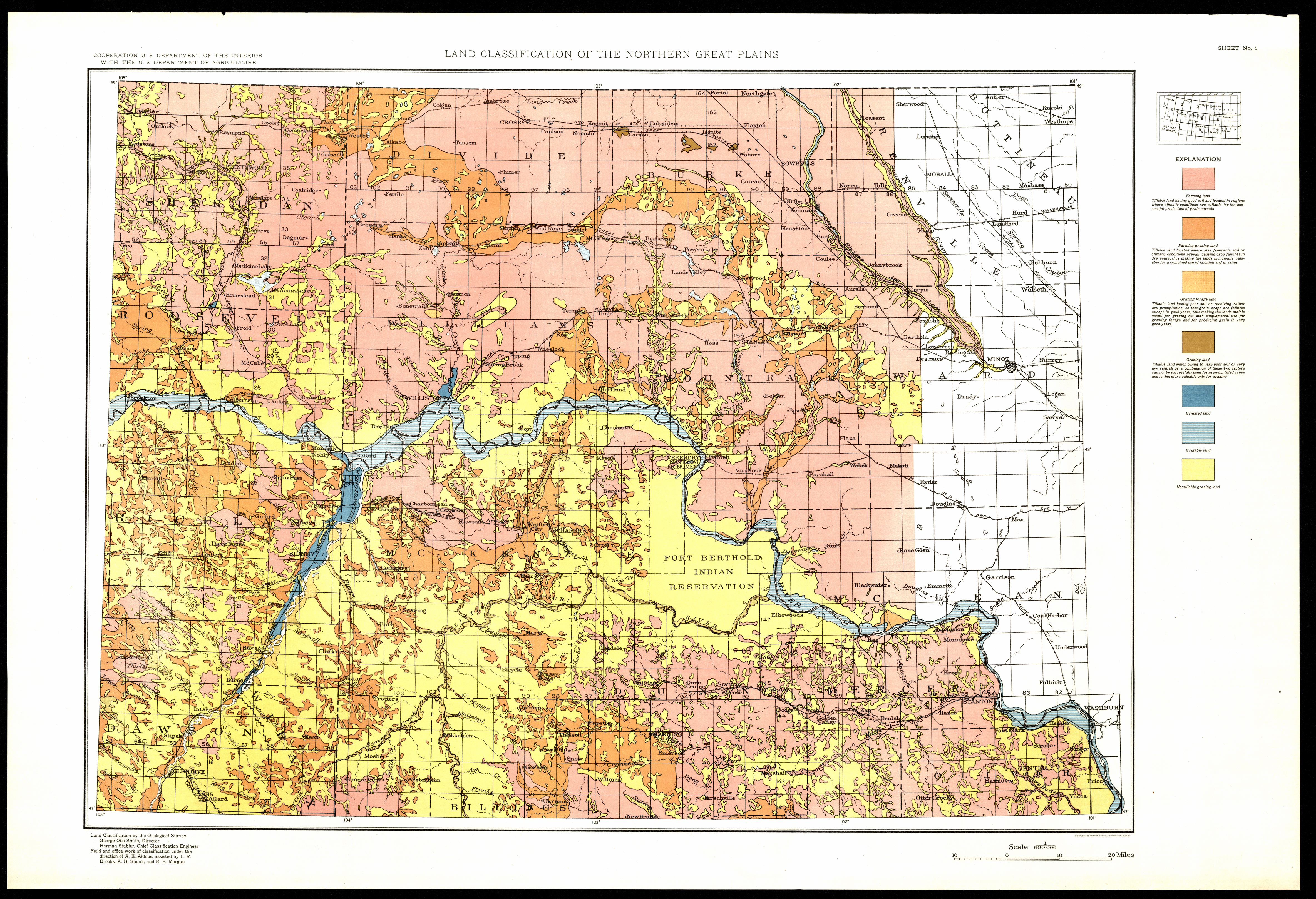
Collection: 338.10978 G3454L 1929 - Land classification of the Northern Great Plains : __Montana, North Dakota, South Dakota, and Wyoming / __land classification by the Geological Survey ; field and office work ... A.E. Aldous, assisted by L.R. Brooks, A.H. Shunk, and R.E. Morgan
Folder: Library
Item: 338.10978 G3454L 1929
Date: 1929 - 1934
Creator: Geological Survey (U.S.)
Title: Land classification of the Northern Great Plains : __Montana, North Dakota, South Dakota, and Wyoming / __land classification by the Geological Survey ; field and office work ... A.E. Aldous, assisted by L.R. Brooks, A.H. Shunk, and R.E. Morgan
Collection: 978 A512c - Cleartype county-town trading center map of the central northwestern United States
Folder: Library
Item: 978 A512c
Date: ca. 1935
Creator: American Map Company (New York, N.Y.)
Title: Cleartype county-town trading center map of the central northwestern United States
Collection: 978.402 R495r 1872 - Rice's sectional map of Dakota Territory / __ __draughted by Fred Sturnegk
Folder: Library
Item: 978.402 R495r 1872
Date: 1872
Creator: Rice, G. Jay
Title: Rice's sectional map of Dakota Territory / __ __draughted by Fred Sturnegk
Collection: 978.4031 N277L - Latest official survey, North Dakota
Folder: Library
Item: 978.4031 N277L
Date: ca. 1915
Creator: National Map Company
Title: Latest official survey, North Dakota
Collection: 978.477 M297b - Map and directory of information, Bismarck and Minot North Dakota with indexed streets / __ __Map Corporation of America
Folder: Library
Item: 978.477 M297b
Date: 1960 - 1964
Creator: Map Corporation of America
Title: Map and directory of information, Bismarck and Minot North Dakota with indexed streets / __ __Map Corporation of America
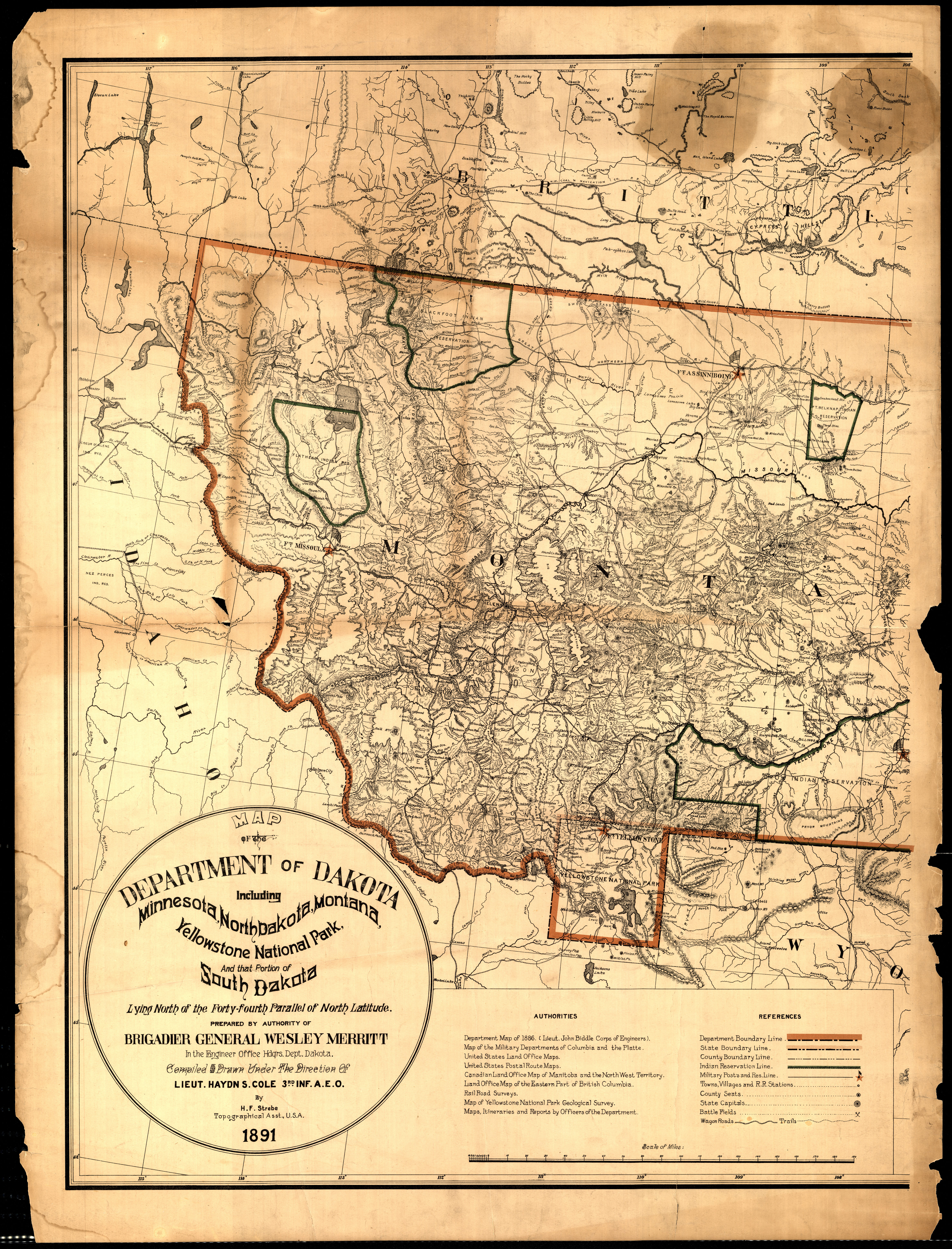
Collection: 978.02 R162m 1891 - Map of the Department of Dakota including Minnesota, North Dakota, Montana, Yellowstone National Park, and that portion of South Dakota lying north of the forty-fourth parallel of north latitude / __ __prepared by authority of Brigadier General Wesley Merritt in the Engineer Office Hdqrs. Dept. Dakota ; compiled and drawn under the direction of Lieut. Haydn S. Cole ... by H. F. Strebe
Folder: Library
Item: 978.02 R162m 1891
Date: 1891
Creator: United States.--Army.--Department of Dakota.--Engineer Office
Title: Map of the Department of Dakota including Minnesota, North Dakota, Montana, Yellowstone National Park, and that portion of South Dakota lying north of the forty-fourth parallel of north latitude / __ __prepared by authority of Brigadier General Wesley Merritt in the Engineer Office Hdqrs. Dept. Dakota ; compiled and drawn under the direction of Lieut. Haydn S. Cole ... by H. F. Strebe
Collection: 978.352 K369t 1938 - Topographic map of site of old Fort Manuel Lisa, Corson County, So. Dak. / __ __drawn by Emery W. Kensler
Folder: Library
Item: 978.352 K369t 1938
Date: 1938
Creator: Kensler, Emery W
Title: Topographic map of site of old Fort Manuel Lisa, Corson County, So. Dak. / __ __drawn by Emery W. Kensler
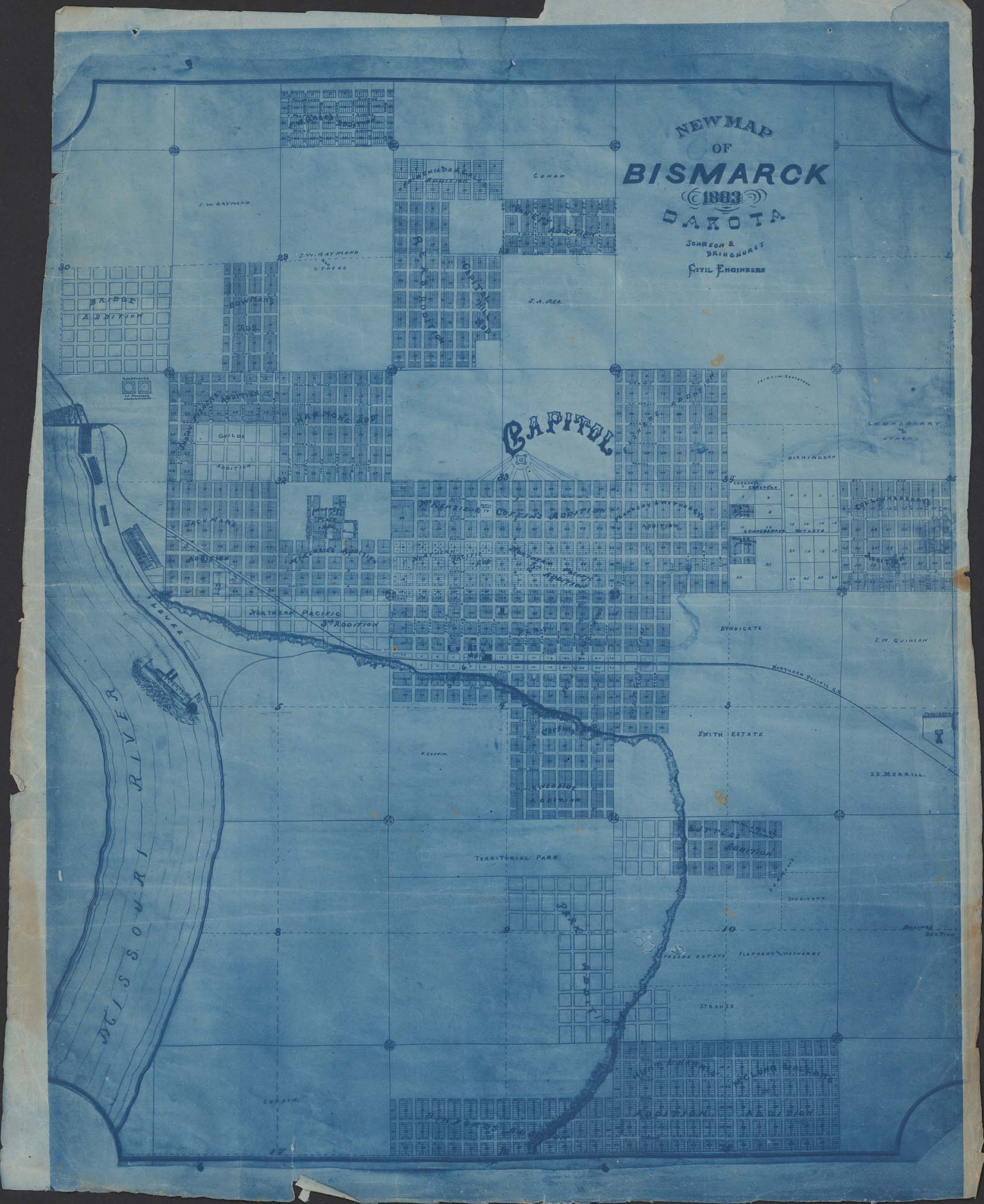
Collection: 978.477 J661n 1883 - New map of Bismarck, Dakota / __ __Johnson & Bringhurst, civil engineers
Folder: Library
Item: 978.477 J661n 1883
Date: 1883
Creator: Johnson & Bringhurst
Title: New map of Bismarck, Dakota / __ __Johnson & Bringhurst, civil engineers
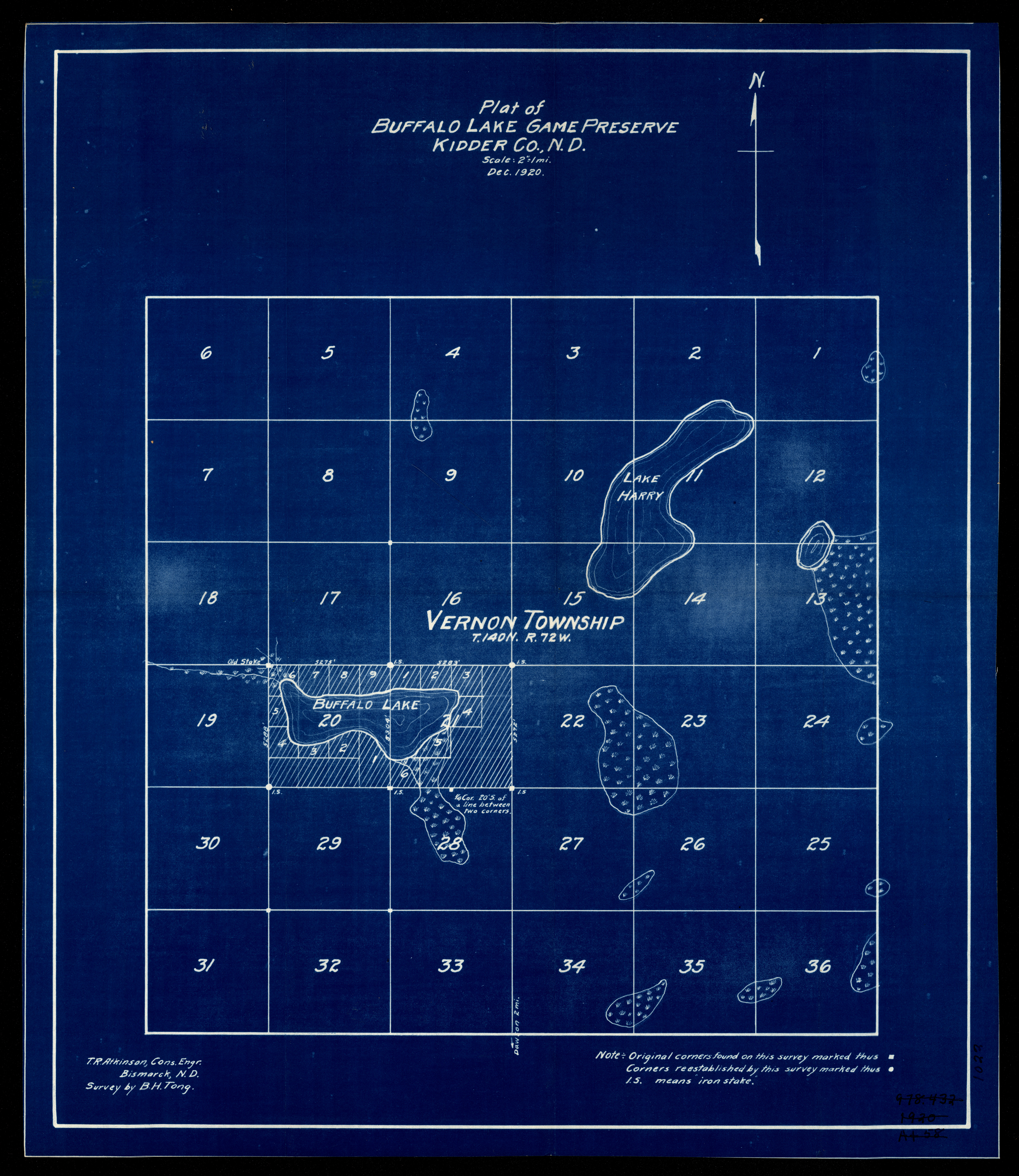
Collection: 978.457 A847pb 1920 - Plat of Buffalo Lake Game Preserve, Kidder Co., N.D. / __ __T.R. Atkinson cons. engr. ; survey by B.H. Tong
Folder: Library
Item: 978.457 A847pb 1920
Date: 1920
Creator: Atkinson, T. R
Title: Plat of Buffalo Lake Game Preserve, Kidder Co., N.D. / __ __T.R. Atkinson cons. engr. ; survey by B.H. Tong
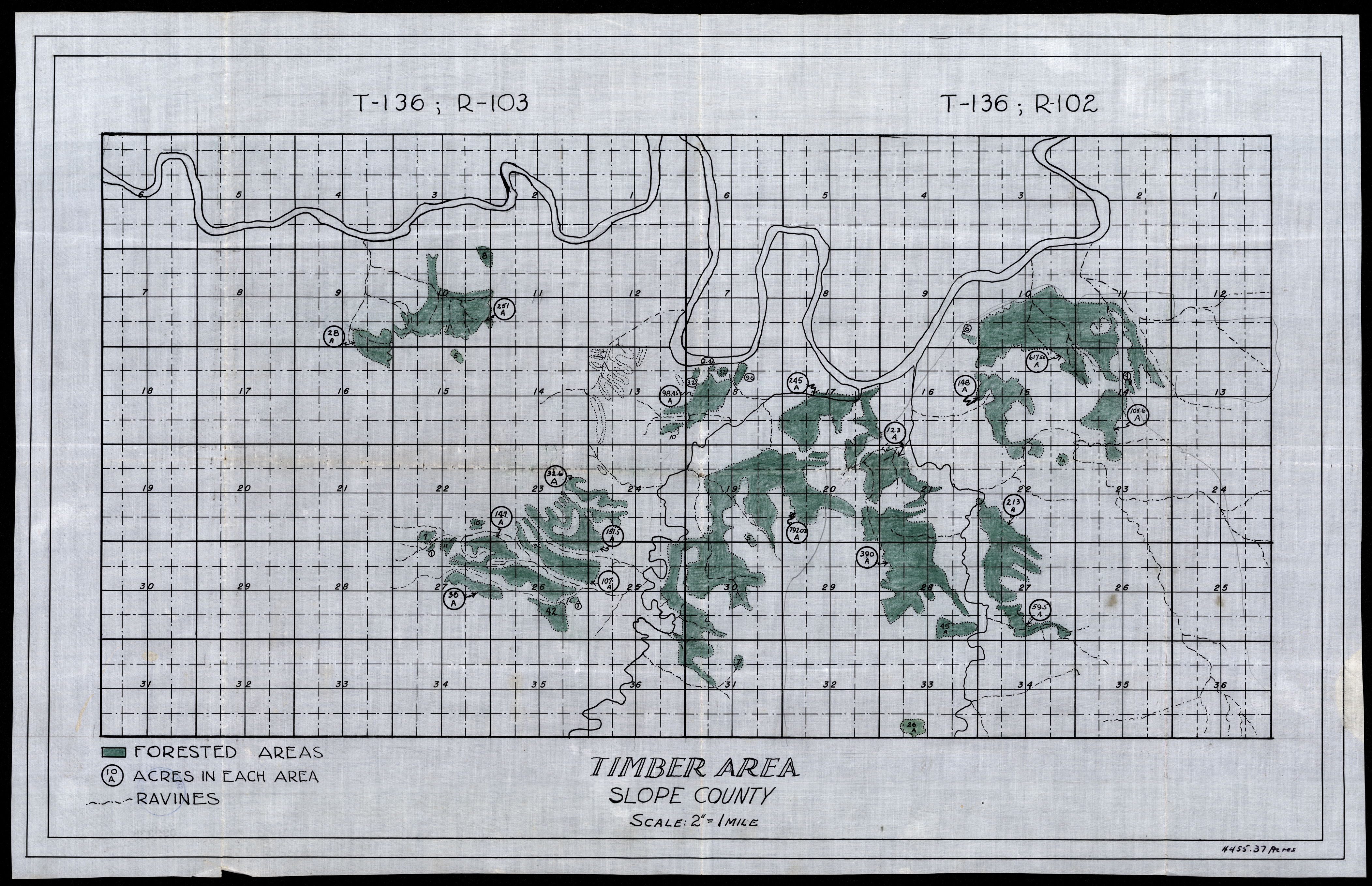
Collection: 978.493 T583 - Timber area, Slope County
Folder: Library
Item: 978.493 T583
Date: 1900 - 1930
Title: Timber area, Slope County
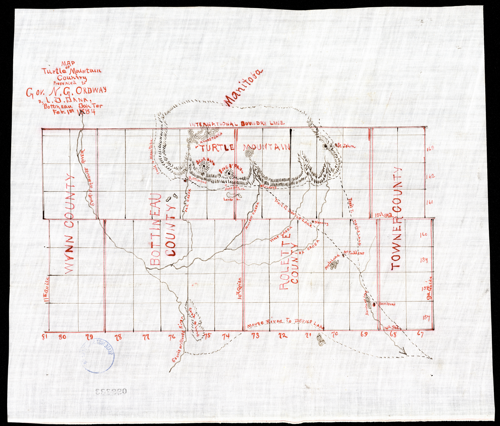
Collection: 978.46 D167m 1884 - Map of Turtle Mountain country / __ __presented to Gov. N.G. Ordway by L.D. Dana
Folder: Library
Item: 978.46 D167m 1884
Date: 1884
Creator: Dana, L. D
Title: Map of Turtle Mountain country / __ __presented to Gov. N.G. Ordway by L.D. Dana
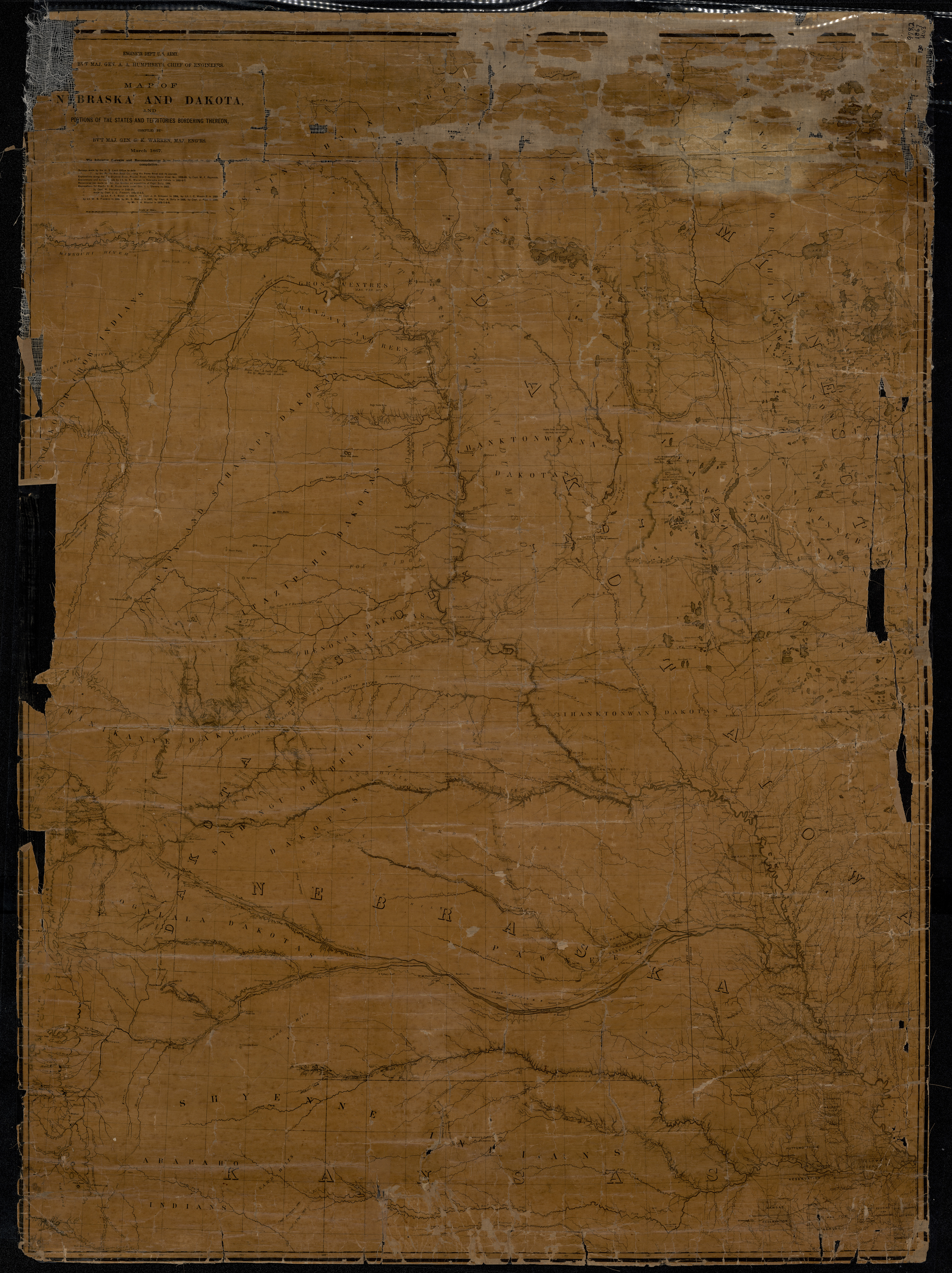
Collection: 978.02 W286m 1867 - Map of Nebraska and Dakota and portions of the states and territories bordering thereon / __ __compiled by Bv't Maj. Gen. G.K. Warren, Maj. Engineers, March, 1867
Folder: Library
Item: 978.02 W286m 1867
Date: 1867
Creator: Warren, G. K.--(Gouverneur Kemble),--1830-1882
Title: Map of Nebraska and Dakota and portions of the states and territories bordering thereon / __ __compiled by Bv't Maj. Gen. G.K. Warren, Maj. Engineers, March, 1867
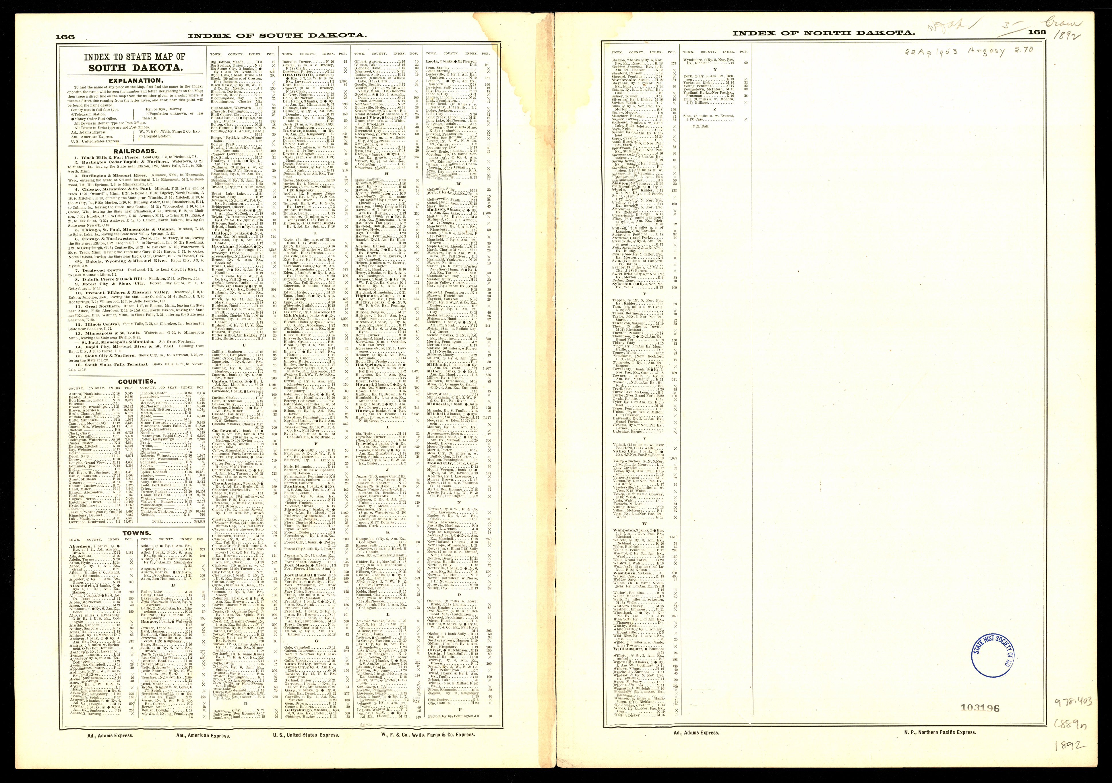
Collection: 978.403 C889n 1892 - North Dakota
Folder: Library
Item: 978.403 C889n 1892
Date: 1892
Creator: Cram, George Franklin,--1841-1928
Title: North Dakota
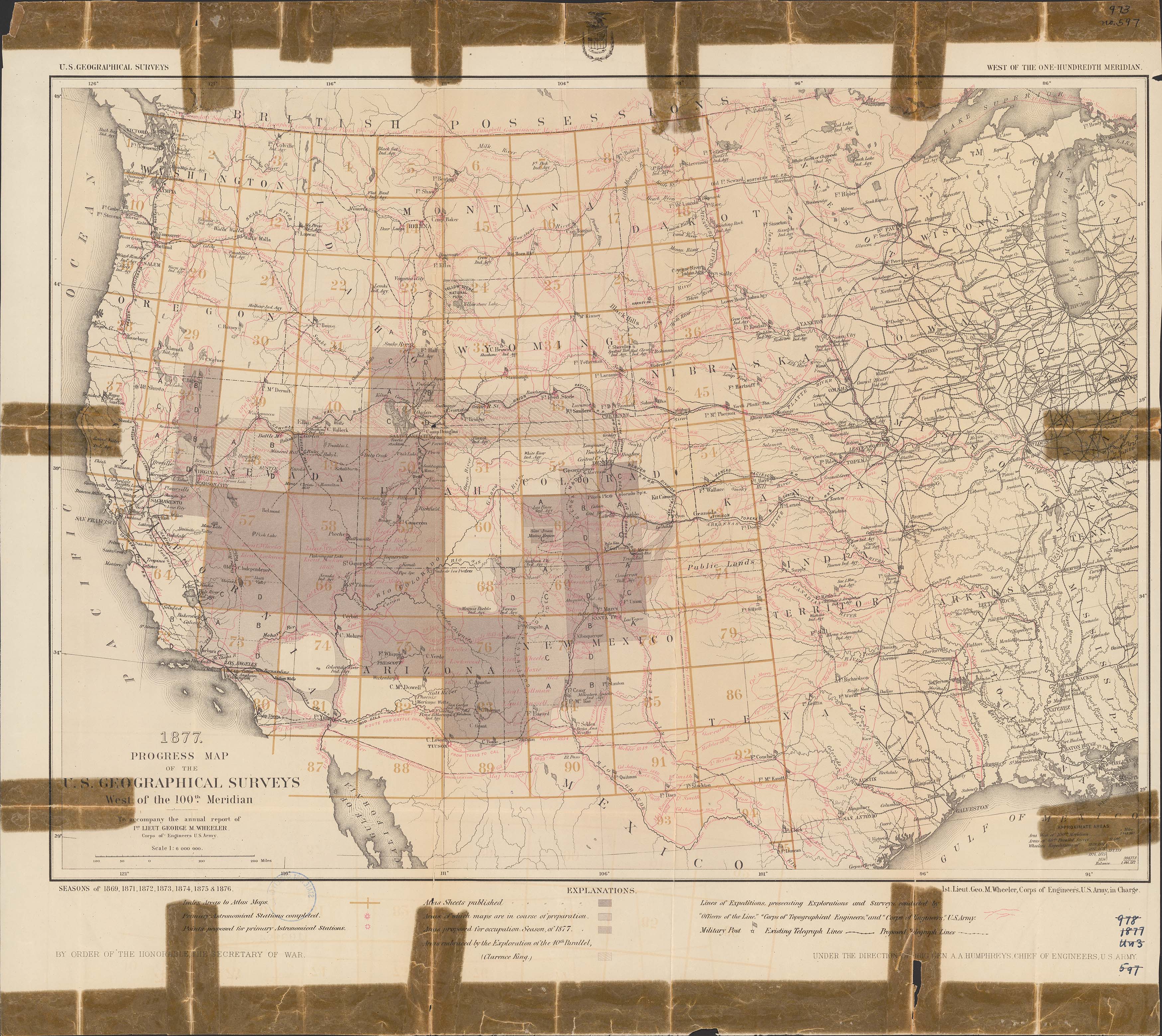
Collection: 978.02 G3452p 1877 - Progress map of the U.S. Geographical Surveys west of the 100th meridian. __to accompany the annual report of 1st lieut. George M. Wheeler / __1st lieut. Geo. M. Wheeler, Corps of Engineers, U.S. Army, in charge ; under the direction of Brig. Gen. A.A. Humphreys, chief of engineers, U.S. Army
Folder: Library
Item: 978.02 G3452p 1877
Date: 1877
Creator: Geographical Surveys West of the 100th Meridian (U.S.)
Title: Progress map of the U.S. Geographical Surveys west of the 100th meridian. __to accompany the annual report of 1st lieut. George M. Wheeler / __1st lieut. Geo. M. Wheeler, Corps of Engineers, U.S. Army, in charge ; under the direction of Brig. Gen. A.A. Humphreys, chief of engineers, U.S. Army
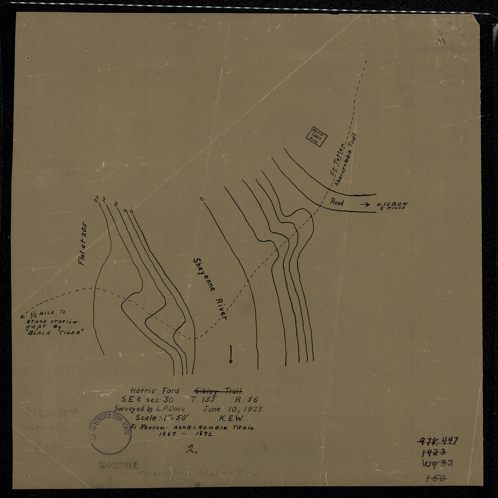
Collection: 978.4315 W947h 1923 - Harris' ford / __ __surveyed by L.P. Dove ; [map drawn by K.E. Wright]
Folder: Library
Item: 978.4315 W947h 1923
Date: 1923
Creator: Wright, K. E
Title: Harris' ford / __ __surveyed by L.P. Dove ; [map drawn by K.E. Wright]
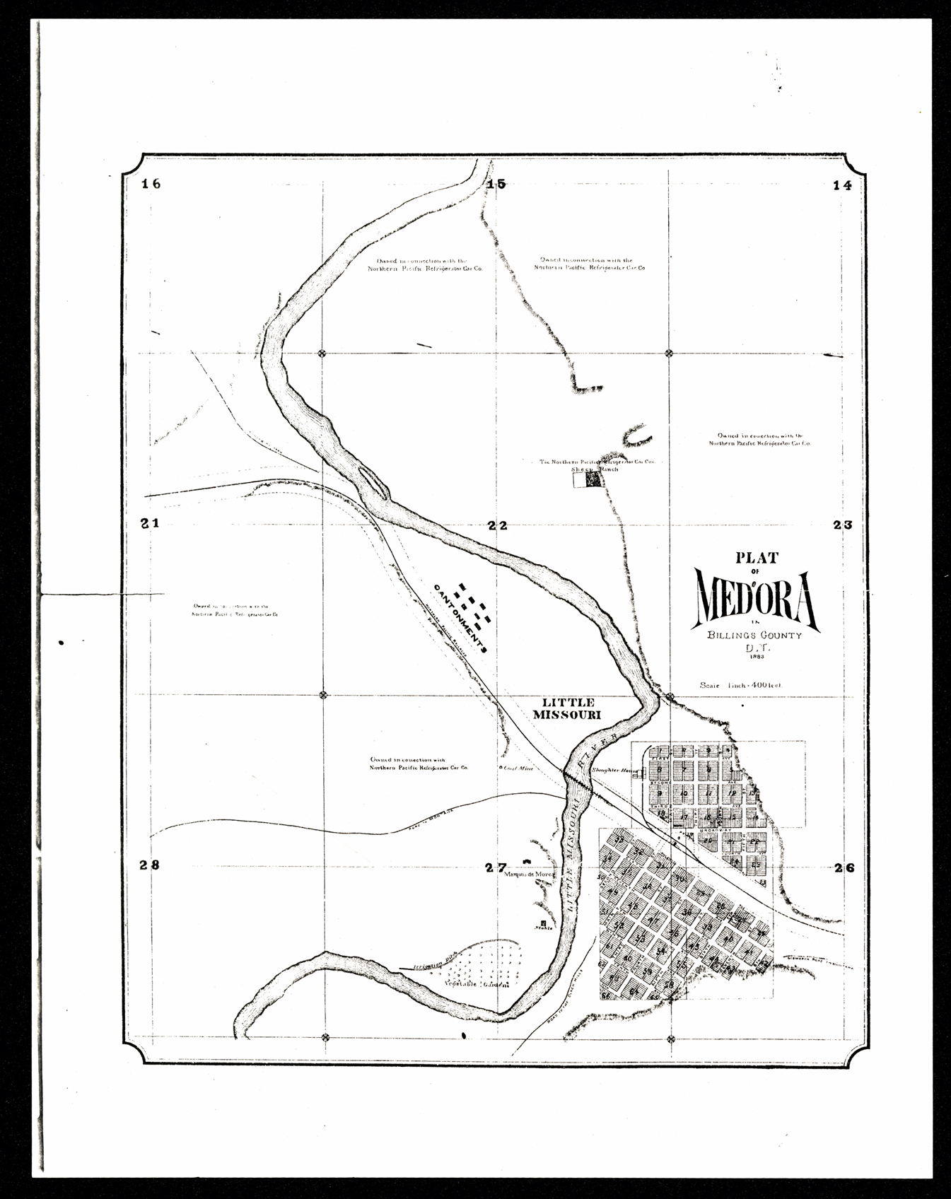
Collection: 978.494 P716 1883 - Plat of Medora in Billings County, D.T
Folder: Library
Item: 978.494 P716 1883
Date: 1883
Title: Plat of Medora in Billings County, D.T
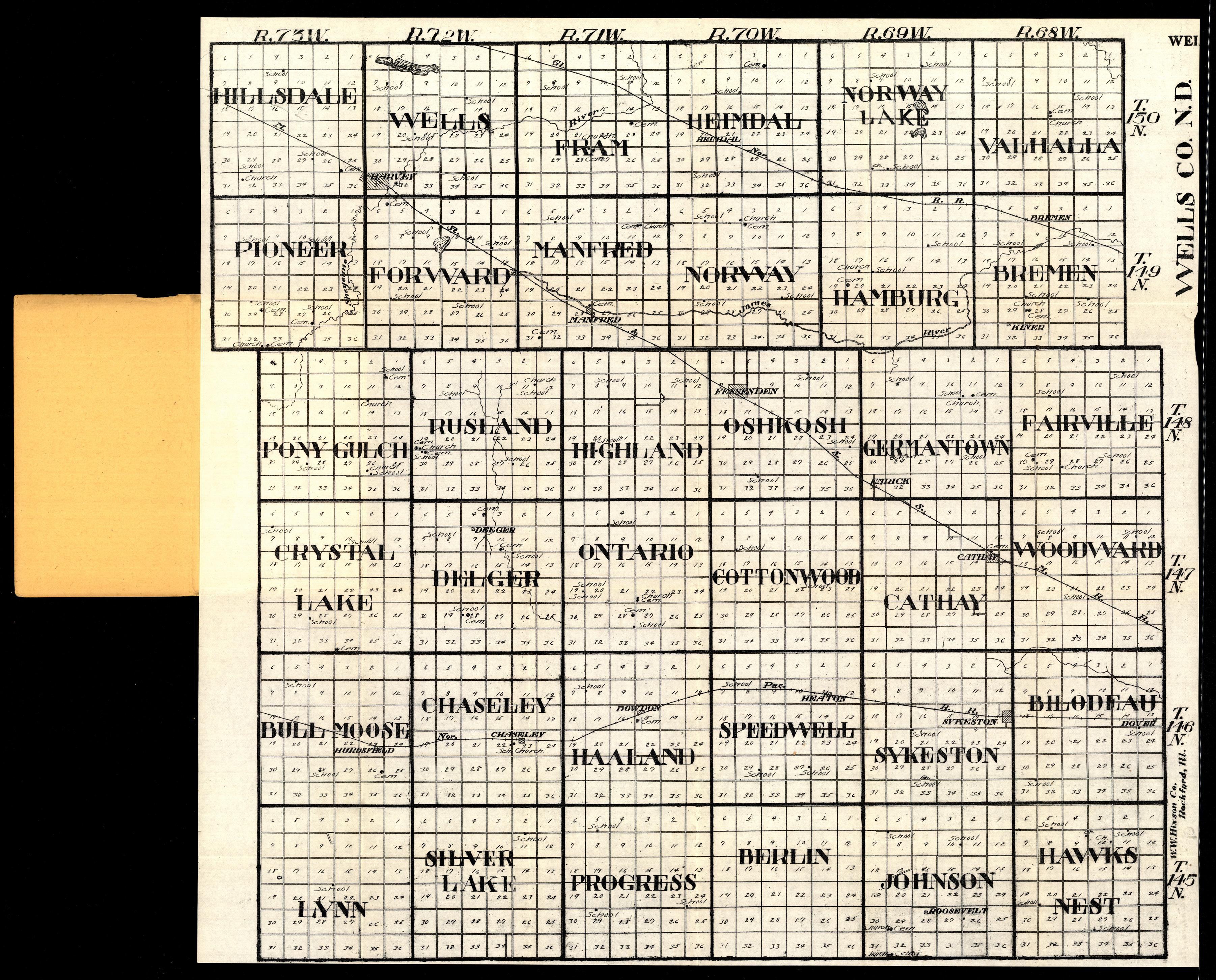
Collection: 978.458 W1117w 1916 - Wells Co., N.D
Folder: Library
Item: 978.458 W1117w 1916
Date: 1916
Creator: W.W. Hixson & Co
Title: Wells Co., N.D
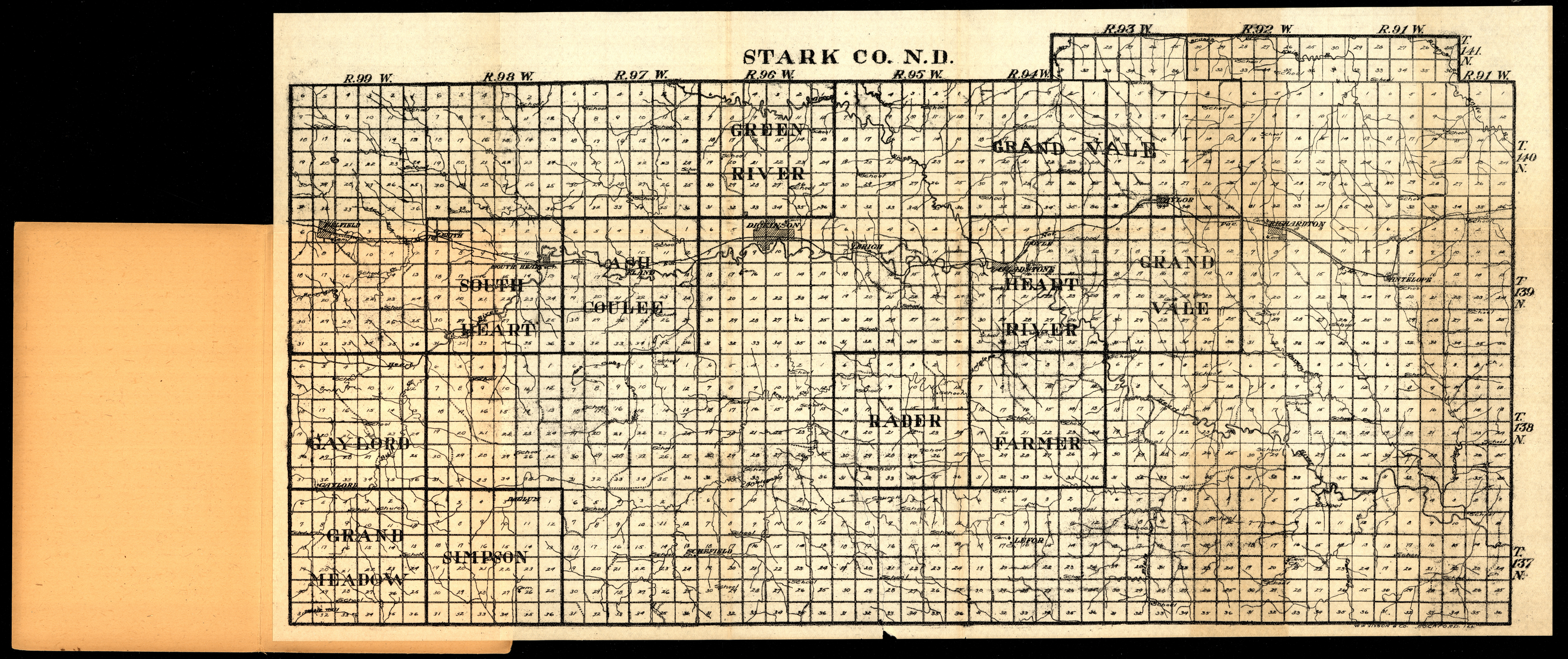
Collection: 978.4844 W1117s 1916 - Stark Co., N.D
Folder: Library
Item: 978.4844 W1117s 1916
Date: 1916
Creator: W.W. Hixson & Co
Title: Stark Co., N.D
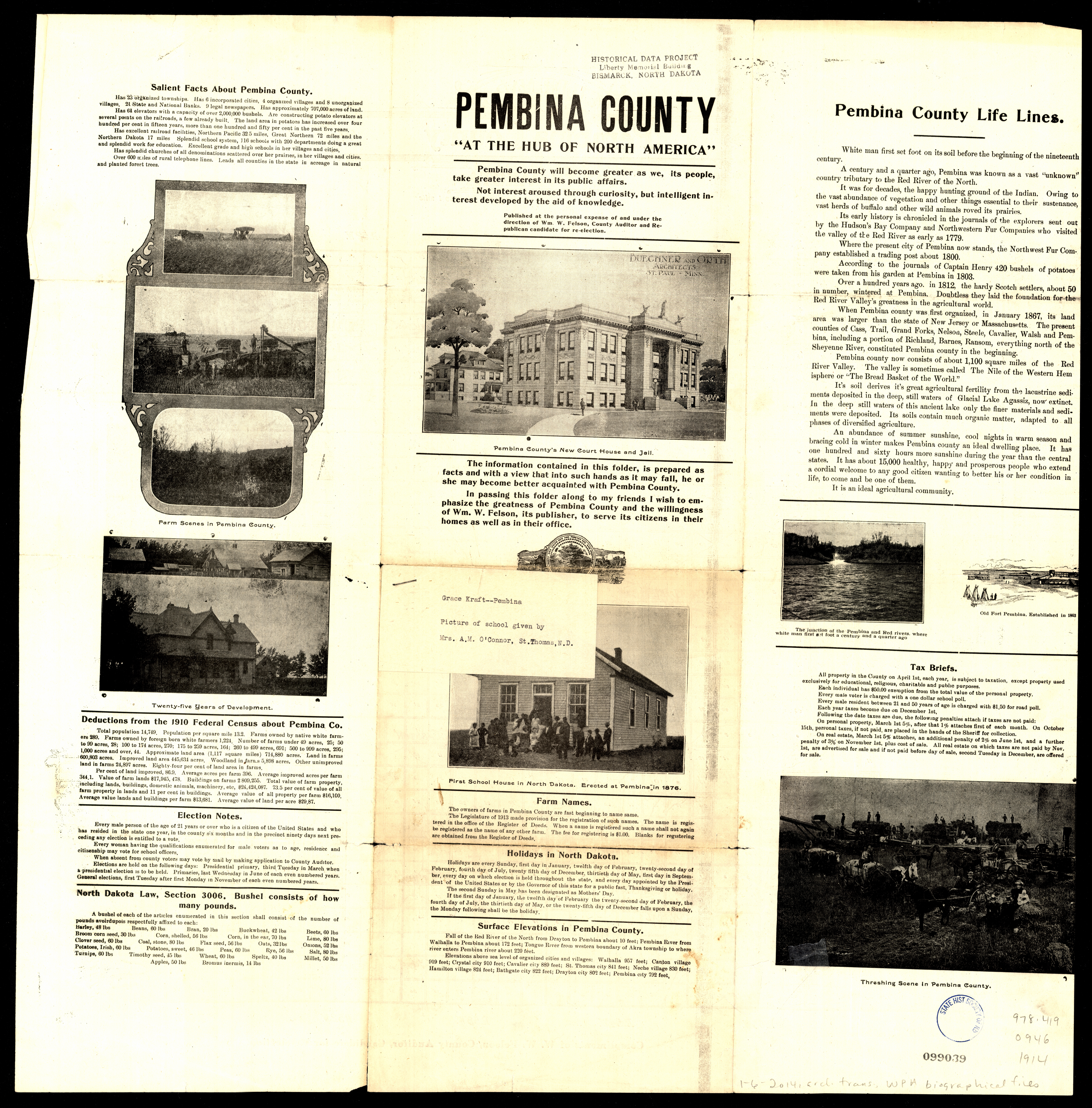
Collection: 978.419 O946 1914 - Outline map of Pembina County, North Dakota
Folder: Library
Item: 978.419 O946 1914
Date: 1914
Title: Outline map of Pembina County, North Dakota
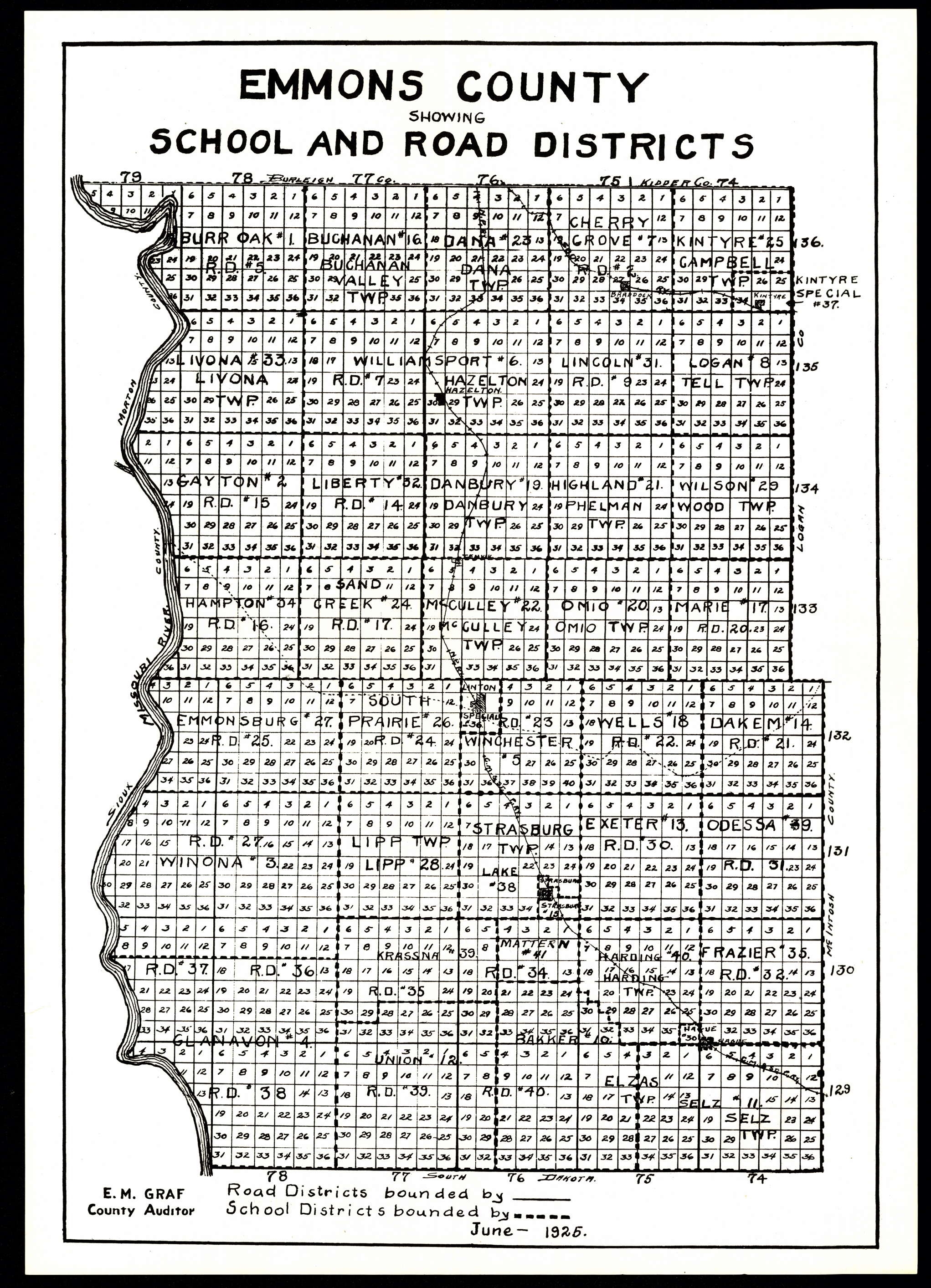
Collection: 978.478 E546 1925 - Emmons County, showing school and road districts / __ __E.M. Graf, county auditor
Folder: Library
Item: 978.478 E546 1925
Date: 1925
Title: Emmons County, showing school and road districts / __ __E.M. Graf, county auditor
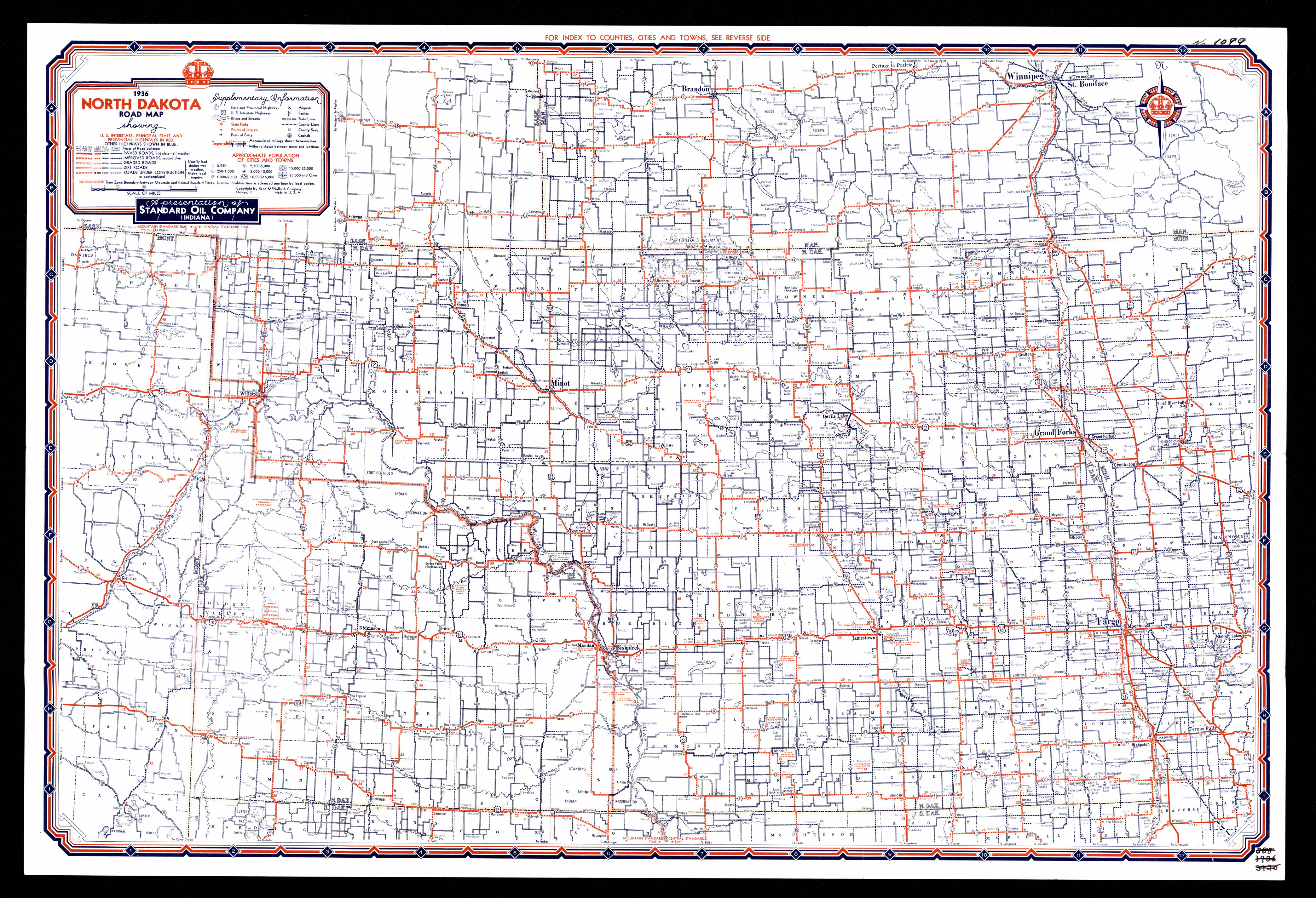
Collection: 978.4032 R186r 1936 - Road map, North Dakota / __ __a presentation of Standard Oil Company (Indiana)
Folder: Library
Item: 978.4032 R186r 1936
Date: 1936
Creator: Rand McNally and Company
Title: Road map, North Dakota / __ __a presentation of Standard Oil Company (Indiana)