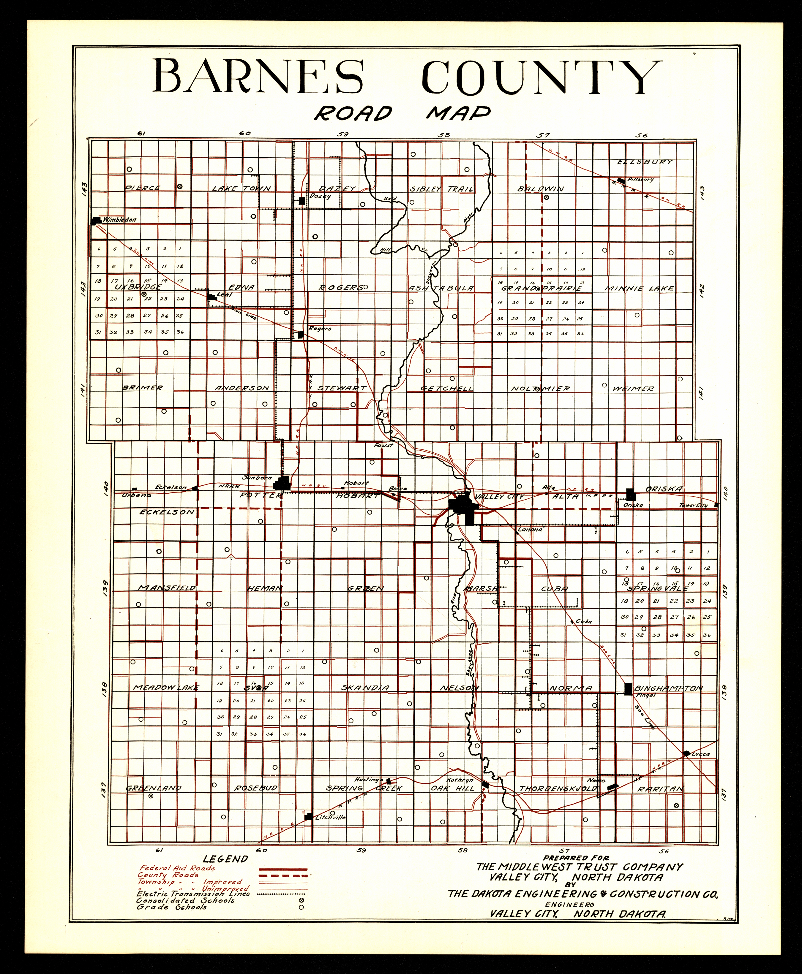
Collection: 978.432 D135r - Barnes County road map / __ __prepared for the Middlewest Trust Company by the Dakota Engineering & Construction Co
Folder: Library
Item: 978.432 D135r
Creator: Dakota Engineering & Construction Co
Title: Barnes County road map / __ __prepared for the Middlewest Trust Company by the Dakota Engineering & Construction Co
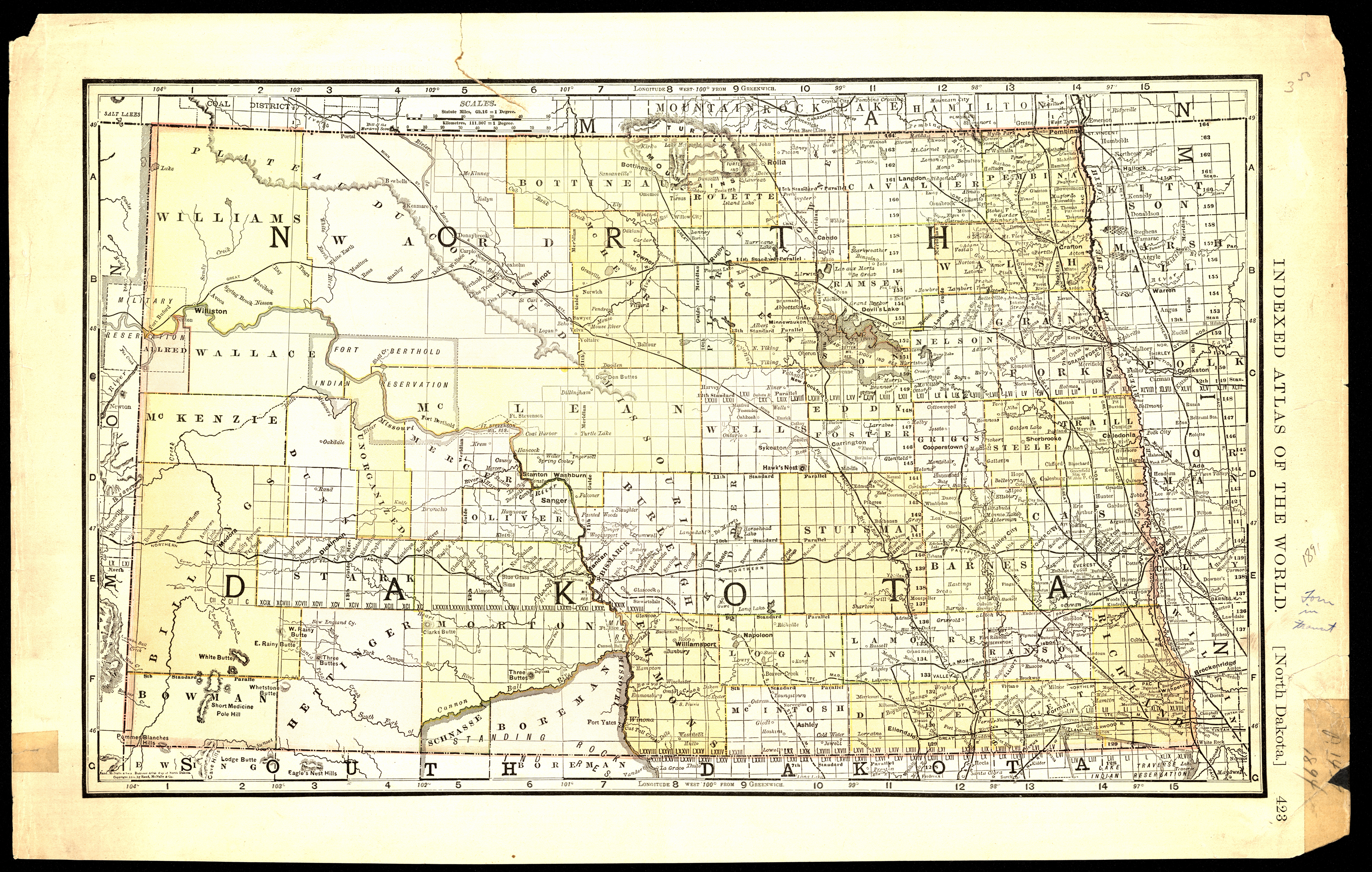
Collection: 978.4031 R186b 1891 - North Dakota
Folder: Library
Item: 978.4031 R186b 1891
Date: Copyright 1891
Creator: Rand McNally and Company
Title: North Dakota
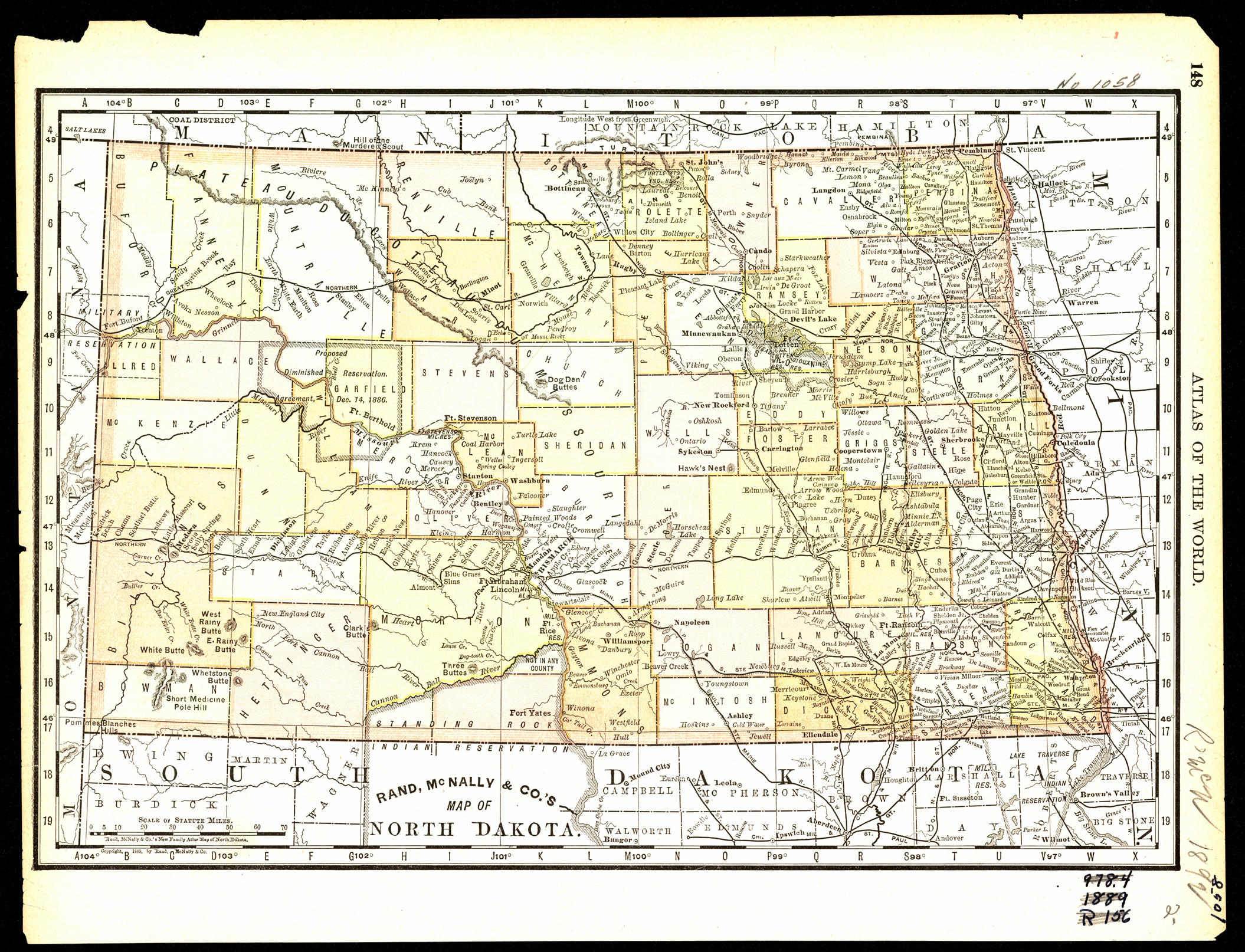
Collection: 978.4031 R186n 1889 - Rand, McNally & Co.'s map of North Dakota
Folder: Library
Item: 978.4031 R186n 1889
Date: Copyright 1889
Creator: Rand McNally and Company
Title: Rand, McNally & Co.'s map of North Dakota
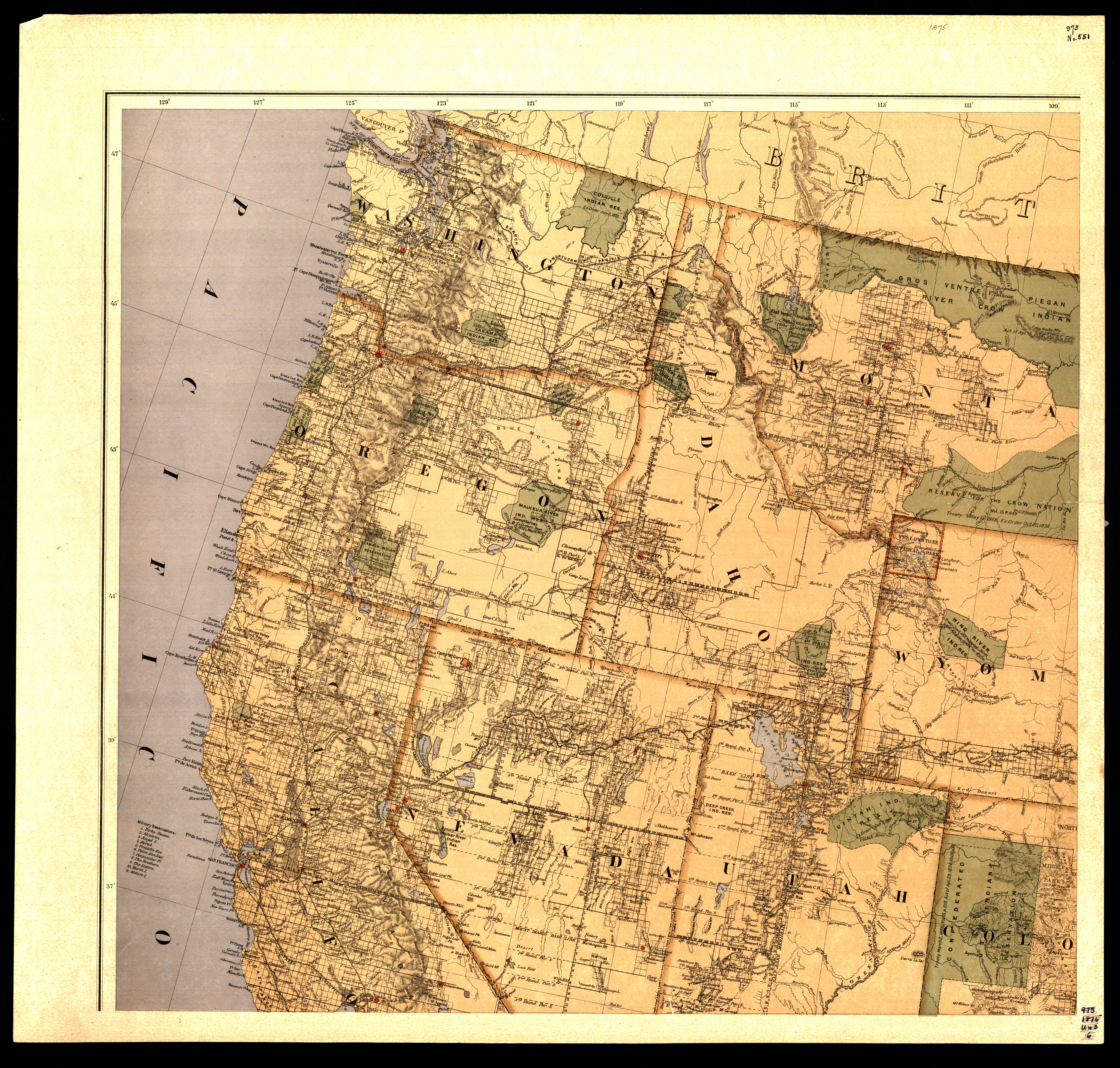
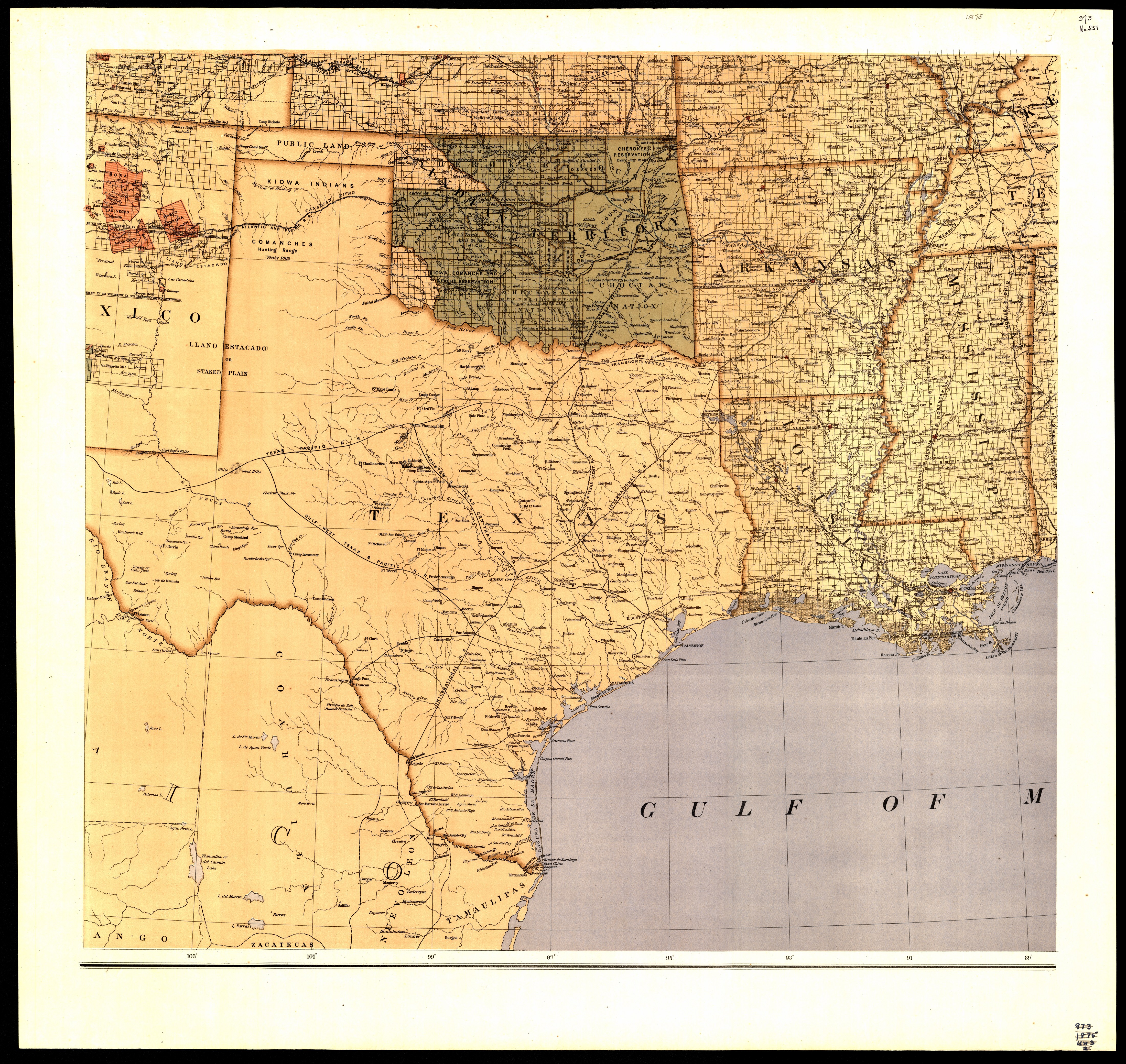
Collection: 973.82 U5813m 1875 - Map of the United States and territories : __showing the extent of public surveys, Indian and military reservations, land grant r.r., railroads, canals, and other details / __compiled from the official surveys of the General Land Office, and other authentic sources, under the direction of the Hon. S.S. Burdett
Folder: Library
Item: 973.82 U5813m 1875
Date: 1875
Creator: United States.--Department of the Interior
Title: Map of the United States and territories : __showing the extent of public surveys, Indian and military reservations, land grant r.r., railroads, canals, and other details / __compiled from the official surveys of the General Land Office, and other authentic sources, under the direction of the Hon. S.S. Burdett
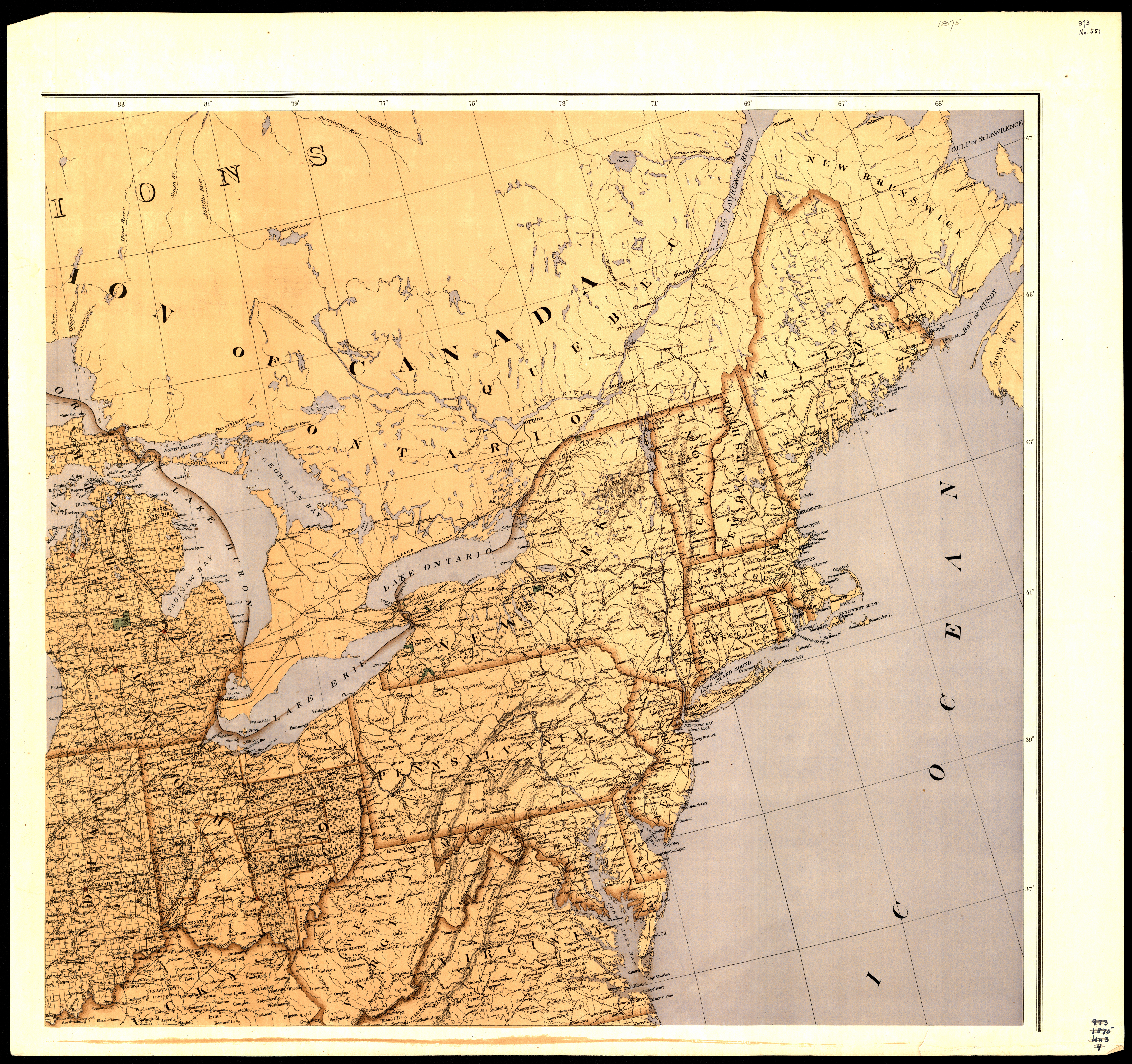
Collection: 973.82 U5813m 1875 - Map of the United States and territories : __showing the extent of public surveys, Indian and military reservations, land grant r.r., railroads, canals, and other details / __compiled from the official surveys of the General Land Office, and other authentic sources, under the direction of the Hon. S.S. Burdett
Folder: Library
Item: 973.82 U5813m 1875
Date: 1875
Creator: United States.--Department of the Interior
Title: Map of the United States and territories : __showing the extent of public surveys, Indian and military reservations, land grant r.r., railroads, canals, and other details / __compiled from the official surveys of the General Land Office, and other authentic sources, under the direction of the Hon. S.S. Burdett
Collection: 973.82 U5813m 1875 - Map of the United States and territories : __showing the extent of public surveys, Indian and military reservations, land grant r.r., railroads, canals, and other details / __compiled from the official surveys of the General Land Office, and other authentic sources, under the direction of the Hon. S.S. Burdett
Folder: Library
Item: 973.82 U5813m 1875
Date: 1875
Creator: United States.--Department of the Interior
Title: Map of the United States and territories : __showing the extent of public surveys, Indian and military reservations, land grant r.r., railroads, canals, and other details / __compiled from the official surveys of the General Land Office, and other authentic sources, under the direction of the Hon. S.S. Burdett
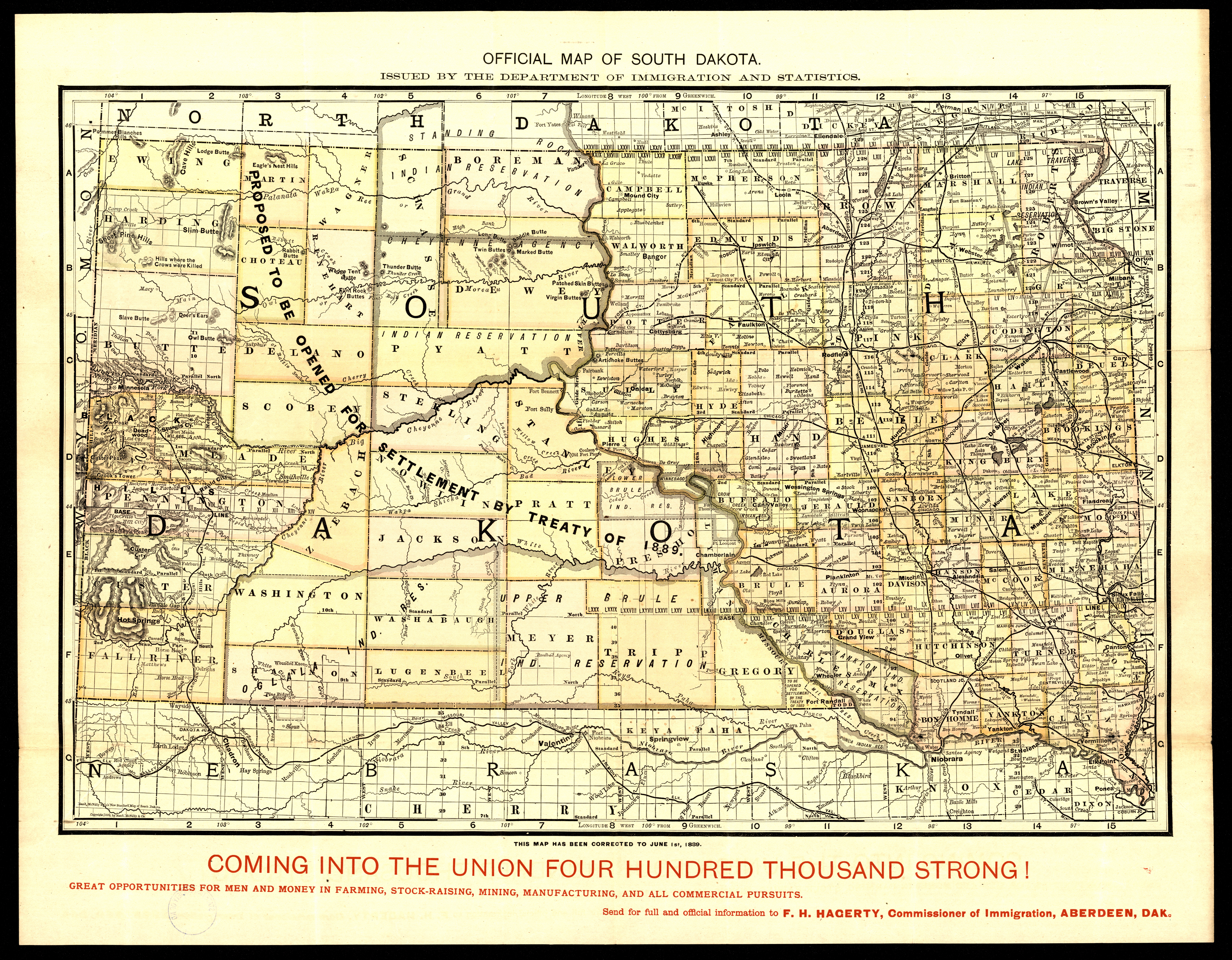
Collection: 978.3031 D135o 1889 - Official map of South Dakota / __ __issued by the Department of Immigration and Statistics
Folder: Library
Item: 978.3031 D135o 1889
Date: Copyright 1889
Creator: Dakota Territory.--Department of Immigration and Statistics
Title: Official map of South Dakota / __ __issued by the Department of Immigration and Statistics
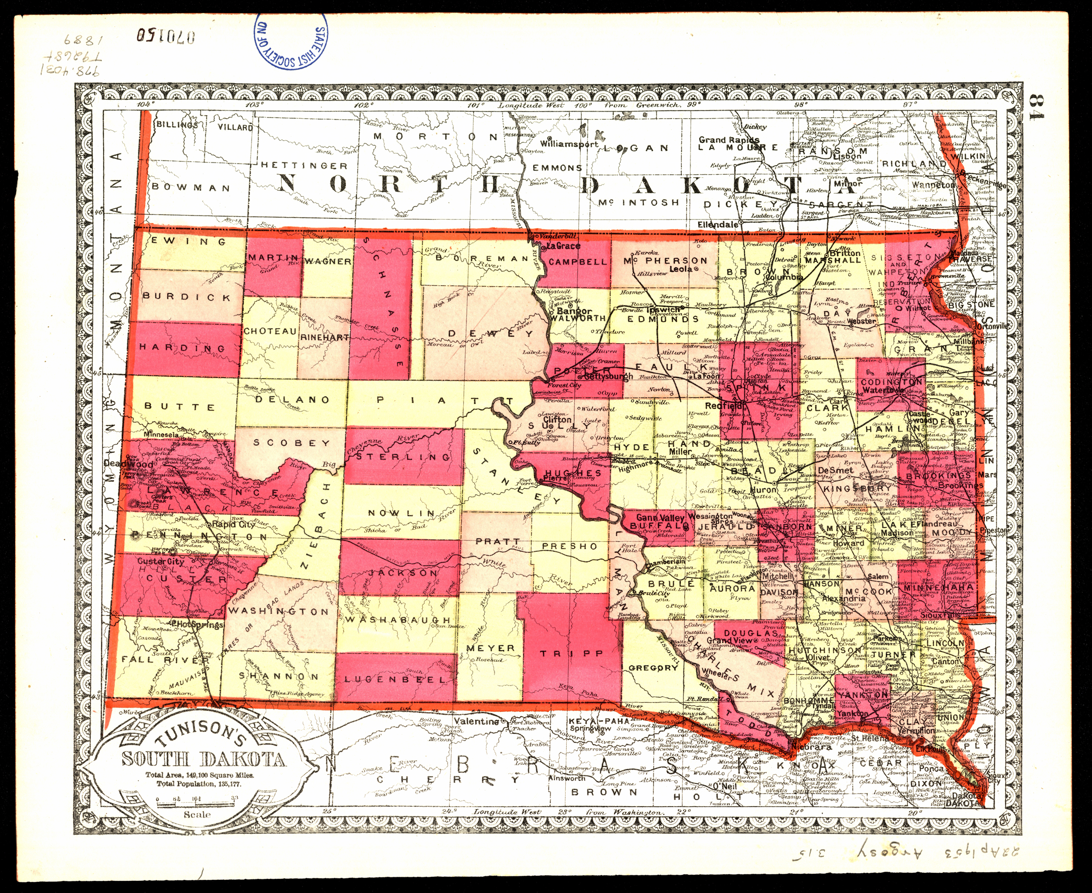
Collection: 978.4031 T9268t 1889 - Tunison's North Dakota and part of Manitoba, Canada ; __Tunison's South Dakota
Folder: Library
Item: 978.4031 T9268t 1889
Date: 1889
Creator: Tunison, Henry Cuthbert,--1855-
Title: Tunison's North Dakota and part of Manitoba, Canada ; __Tunison's South Dakota
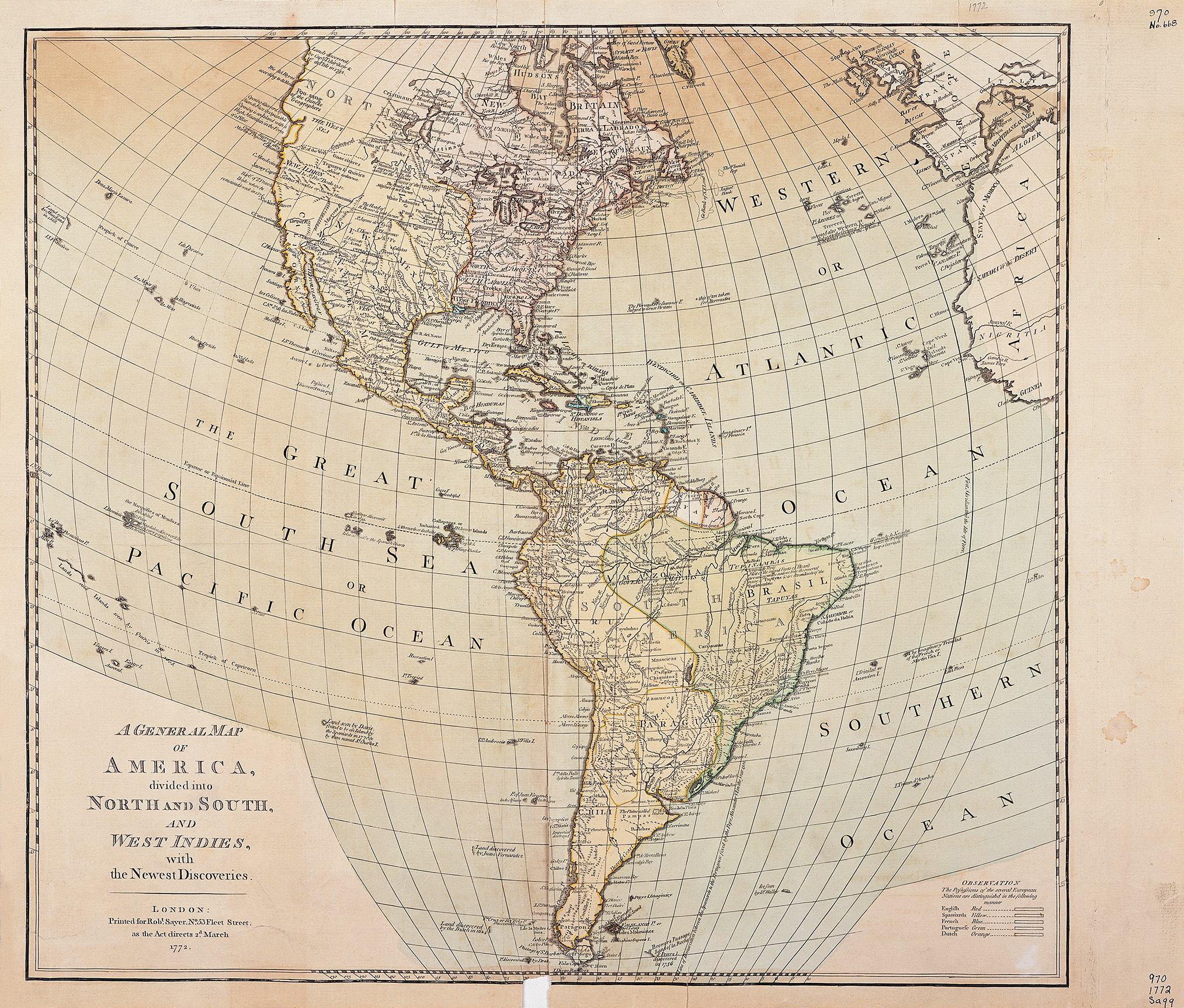
Collection: 970.03 G3263 1772 - A general map of America divided into North and South, and West Indies : __with the newest discoveries
Folder: Library
Item: 970.03 G3263 1772
Date: 03/02/1772
Title: A general map of America divided into North and South, and West Indies : __with the newest discoveries
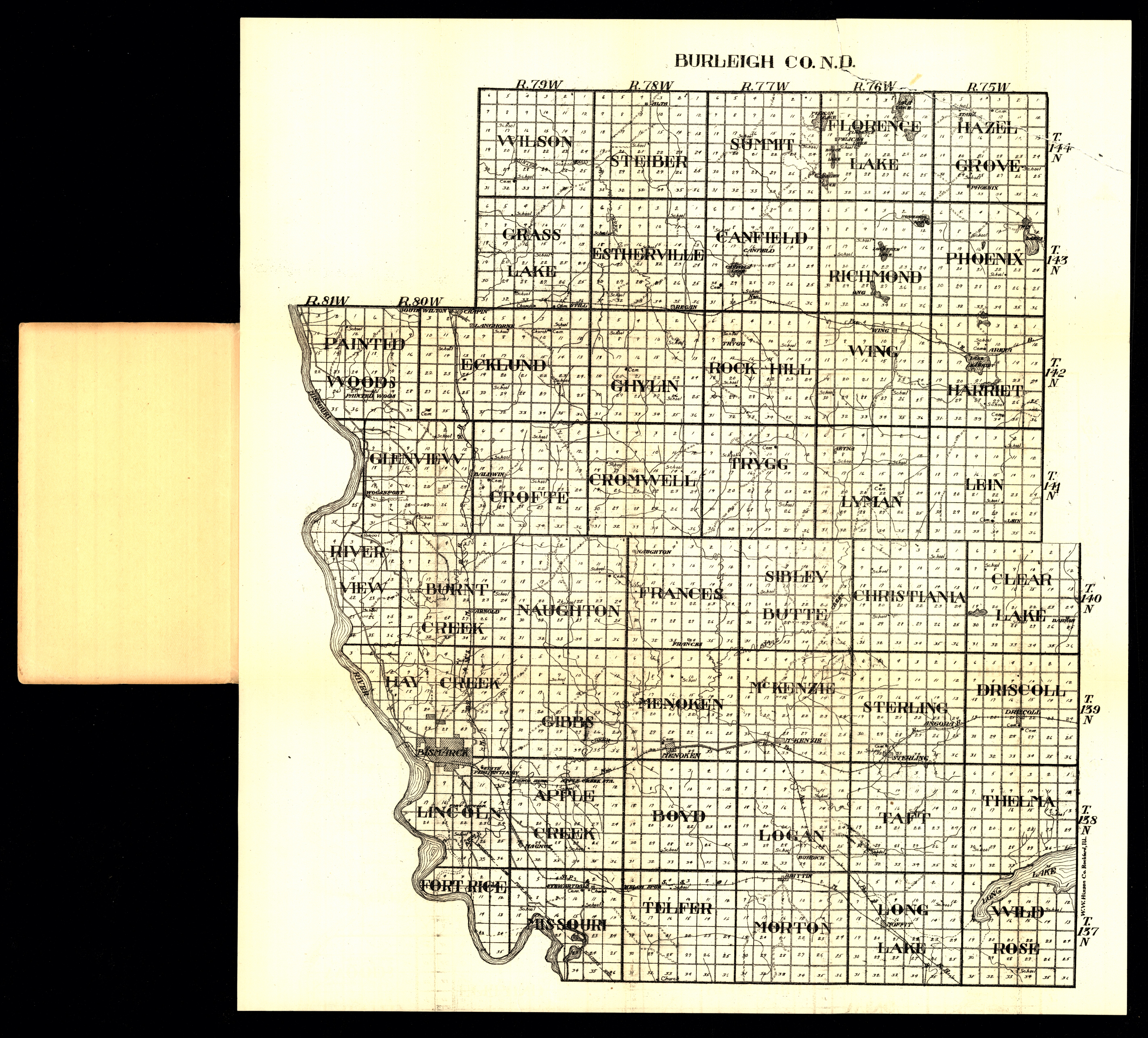
Collection: 978.477 W1117b 1916 - Burleigh Co., N.D
Folder: Library
Item: 978.477 W1117b 1916
Date: 1916
Creator: W.W. Hixson & Co
Title: Burleigh Co., N.D
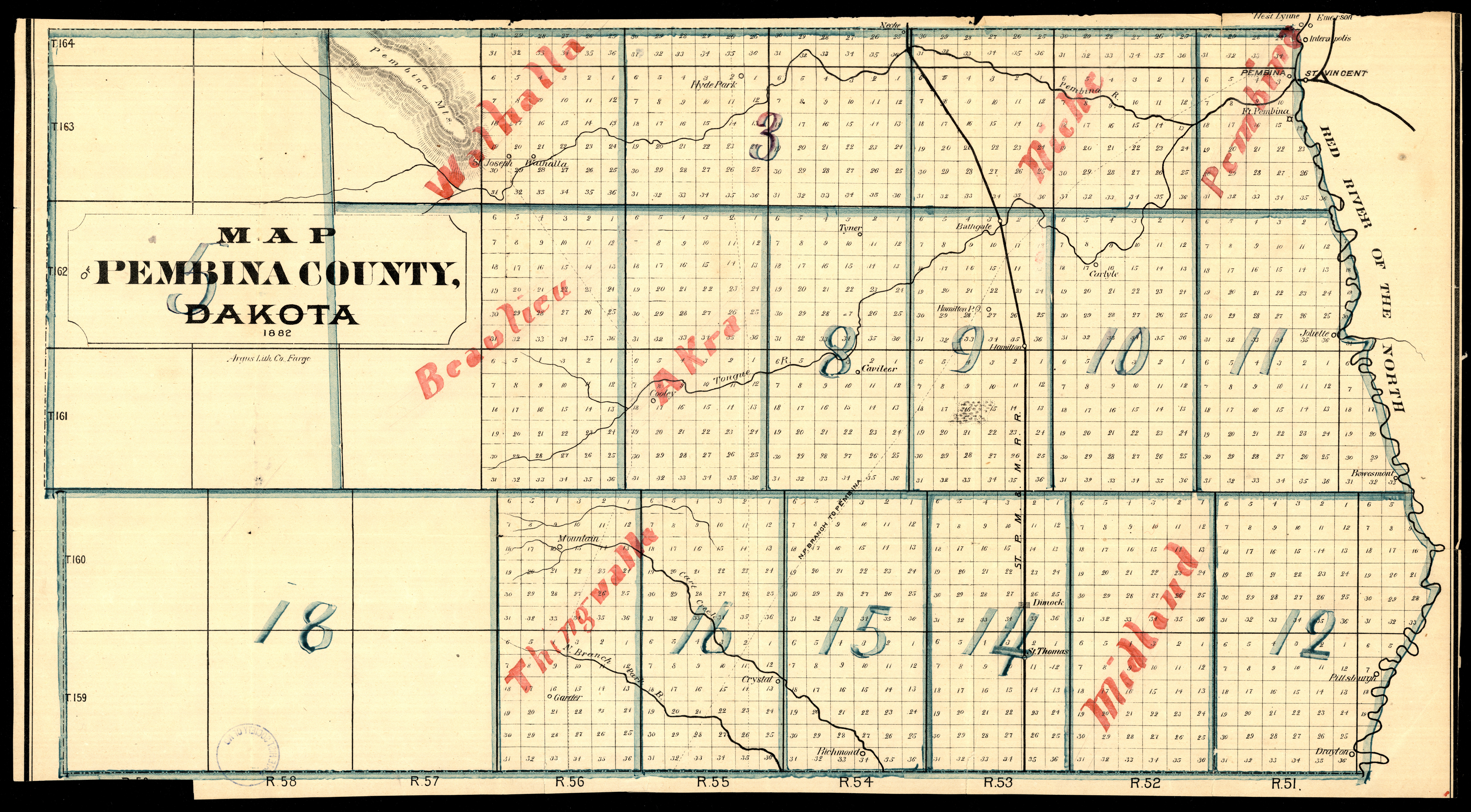
Collection: 978.419 M297 1882 - Map of Pembina County, Dakota
Folder: Library
Item: 978.419 M297 1882
Date: 1882
Title: Map of Pembina County, Dakota
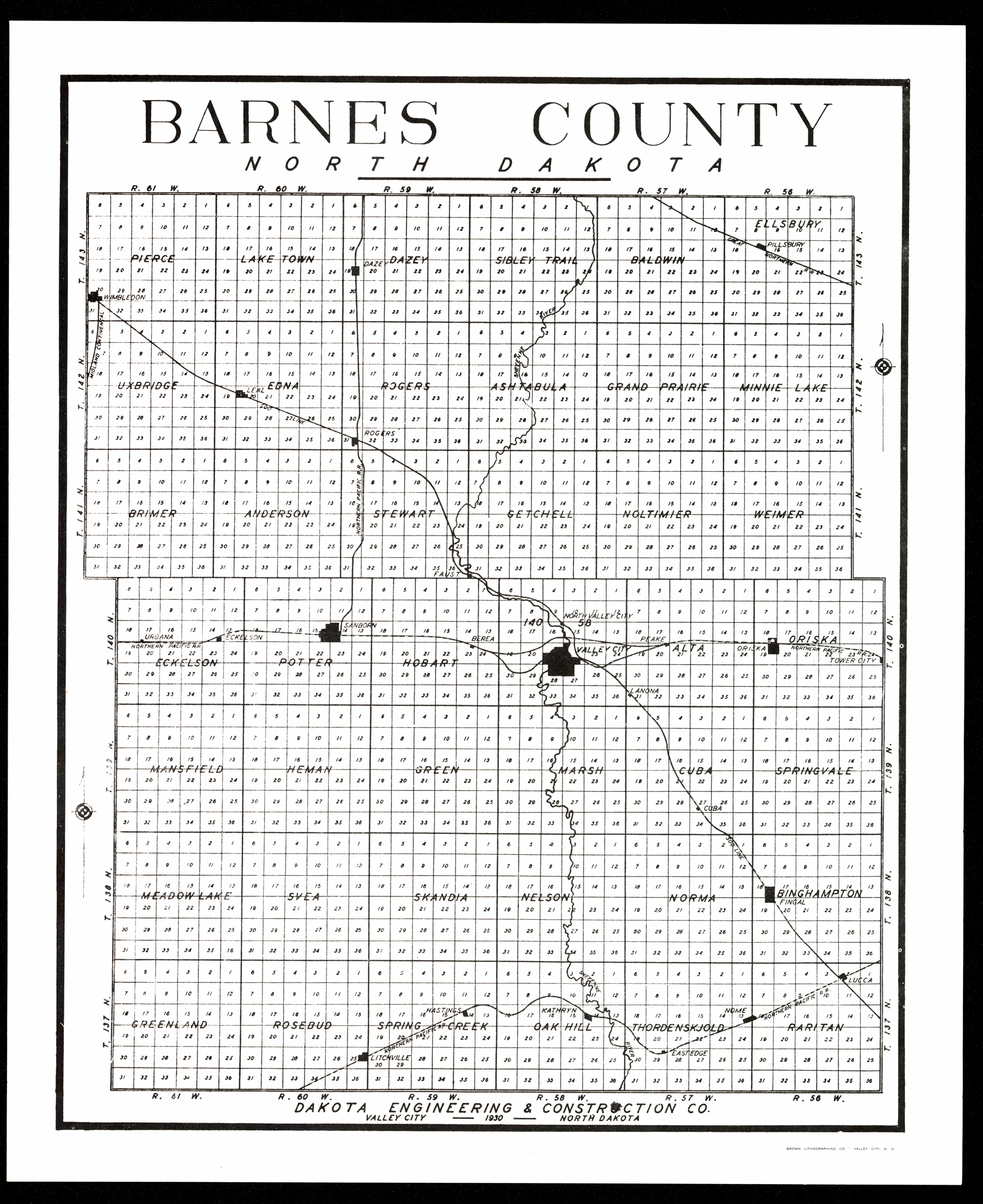
Collection: 978.432 D135b 1930 - Barnes County, North Dakota / __ __Dakota Engineering & Construction Co
Folder: Library
Item: 978.432 D135b 1930
Creator: Dakota Engineering & Construction Co
Title: Barnes County, North Dakota / __ __Dakota Engineering & Construction Co
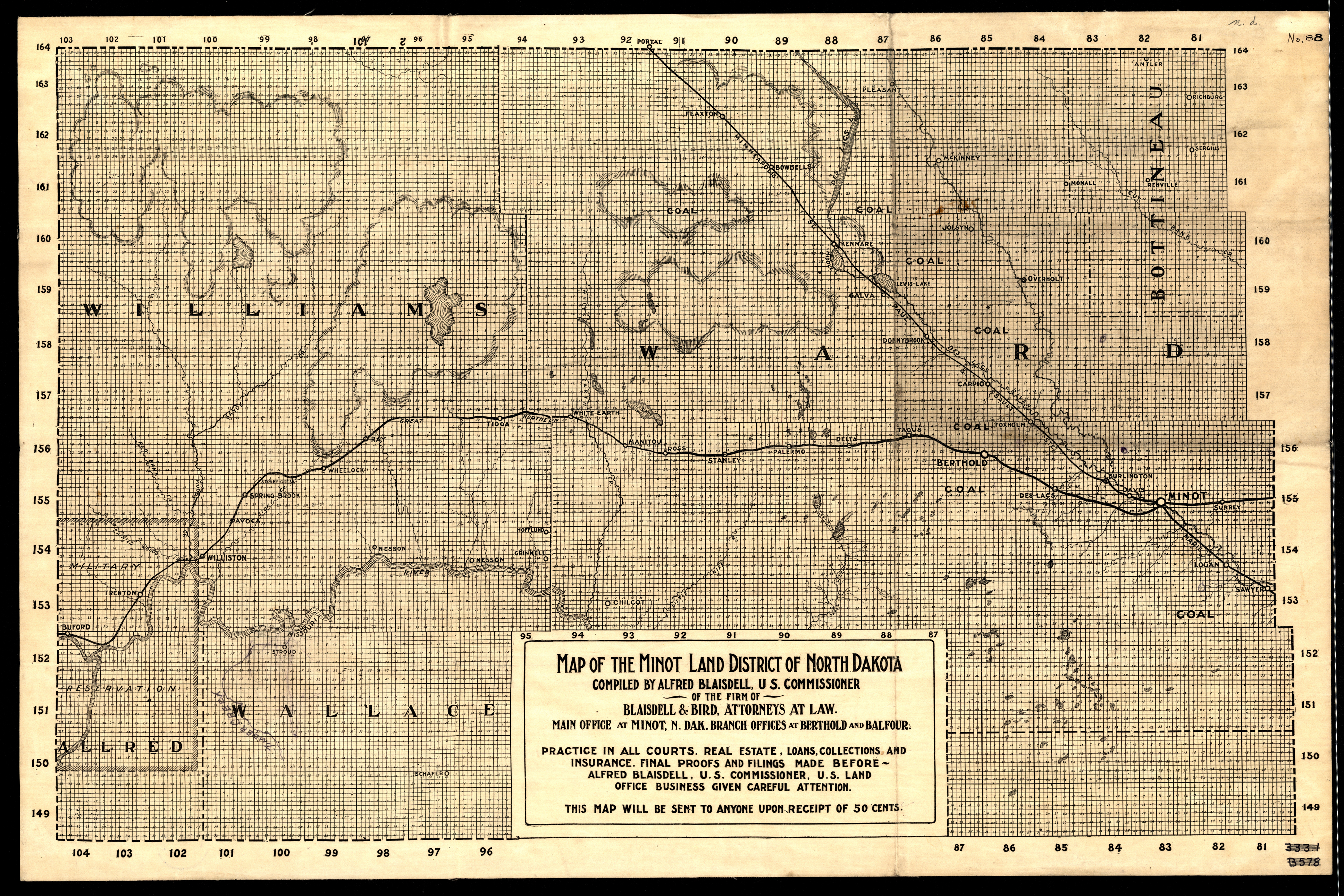
Collection: 978.463 M297ml - Map of the Minot land district of North Dakota / __ __compiled by Alfred Blaisdell, U.S. Commissioner
Folder: Library
Item: 978.463 M297ml
Date: 1900 - 1905
Title: Map of the Minot land district of North Dakota / __ __compiled by Alfred Blaisdell, U.S. Commissioner
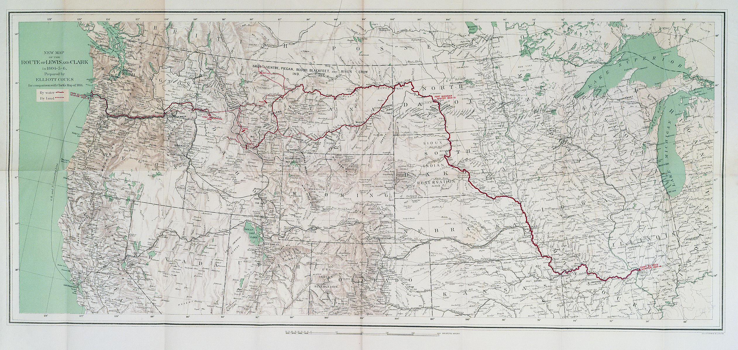
Collection: 917.8 L585 v. 4 map 3 - New map of the route of Lewis and Clark in 1804-5-6 / __ __prepared by Elliott Coues for comparison with Clark's map of 1814
Folder: Library
Item: 917.8 L585 v. 4 map 3
Date: 1893
Creator: Coues, Elliott,--1842-1899
Title: New map of the route of Lewis and Clark in 1804-5-6 / __ __prepared by Elliott Coues for comparison with Clark's map of 1814
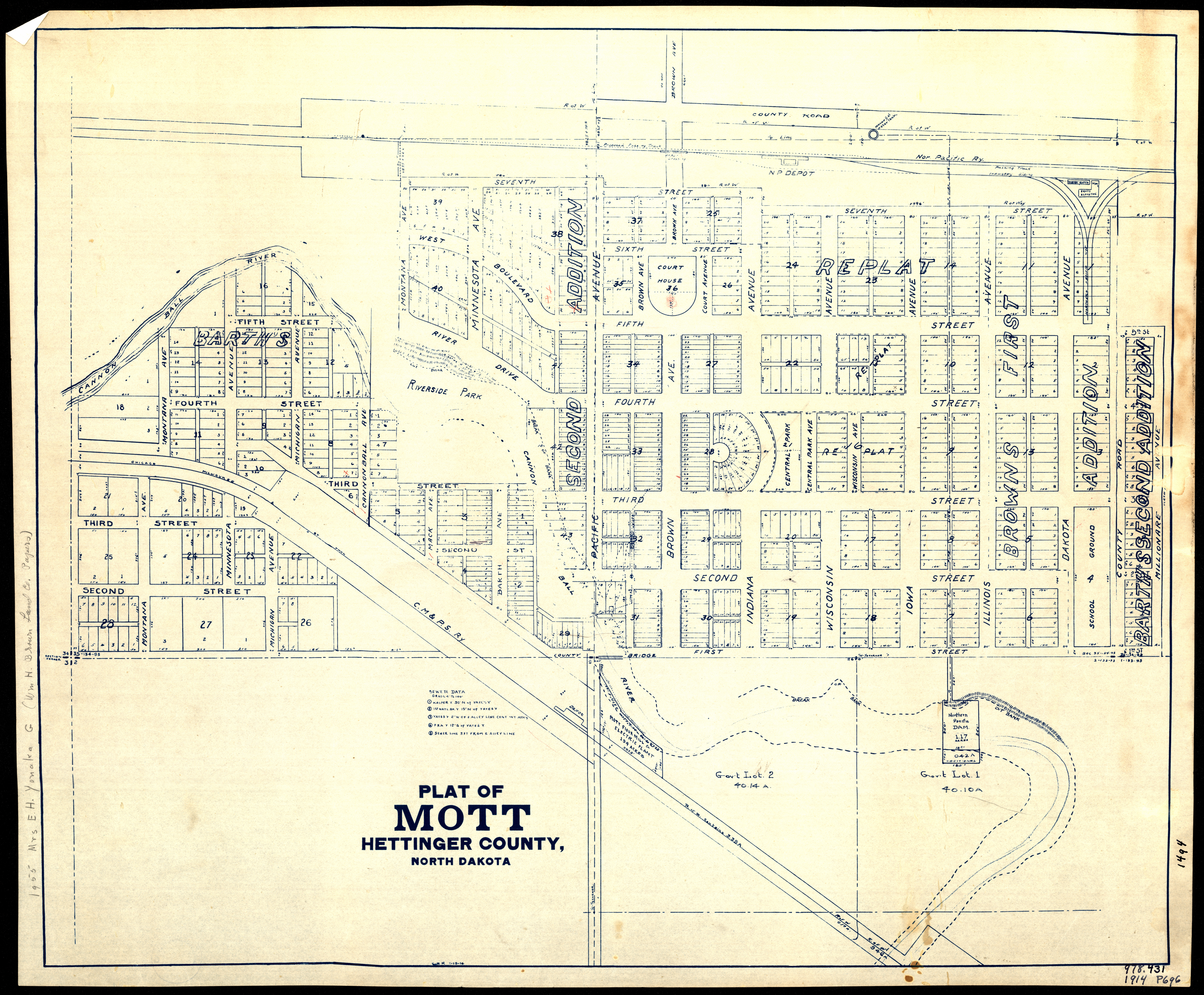
Collection: 978.486 P716 1914 - Plat of Mott, Hettinger County, North Dakota
Folder: Library
Item: 978.486 P716 1914
Date: 1914
Title: Plat of Mott, Hettinger County, North Dakota
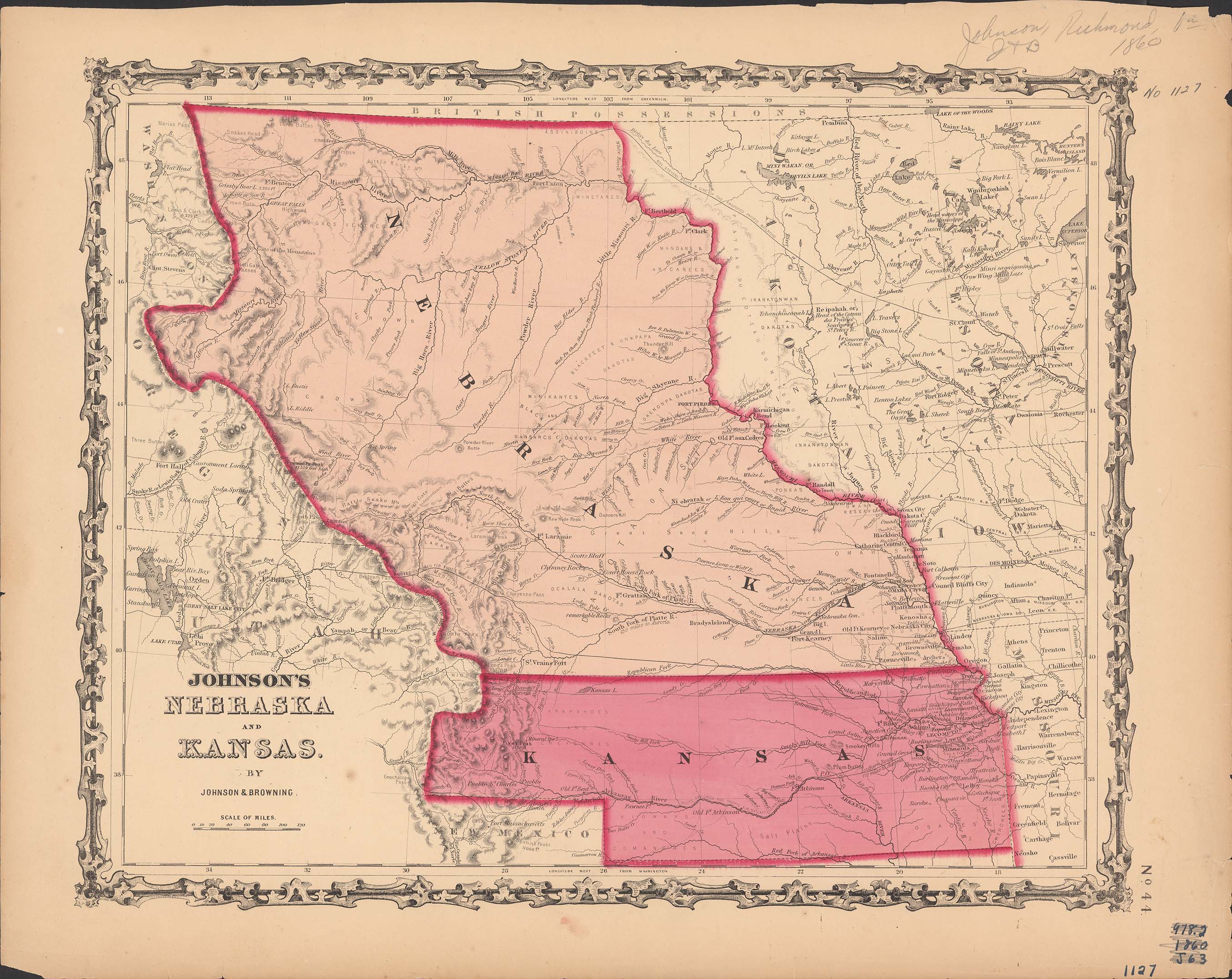
Collection: 978.202 J66j 1860 - Johnson's Nebraska and Kansas / __ __by Johnson & Browning
Folder: Library
Item: 978.202 J66j 1860
Date: 1860
Creator: Johnson & Browning
Title: Johnson's Nebraska and Kansas / __ __by Johnson & Browning
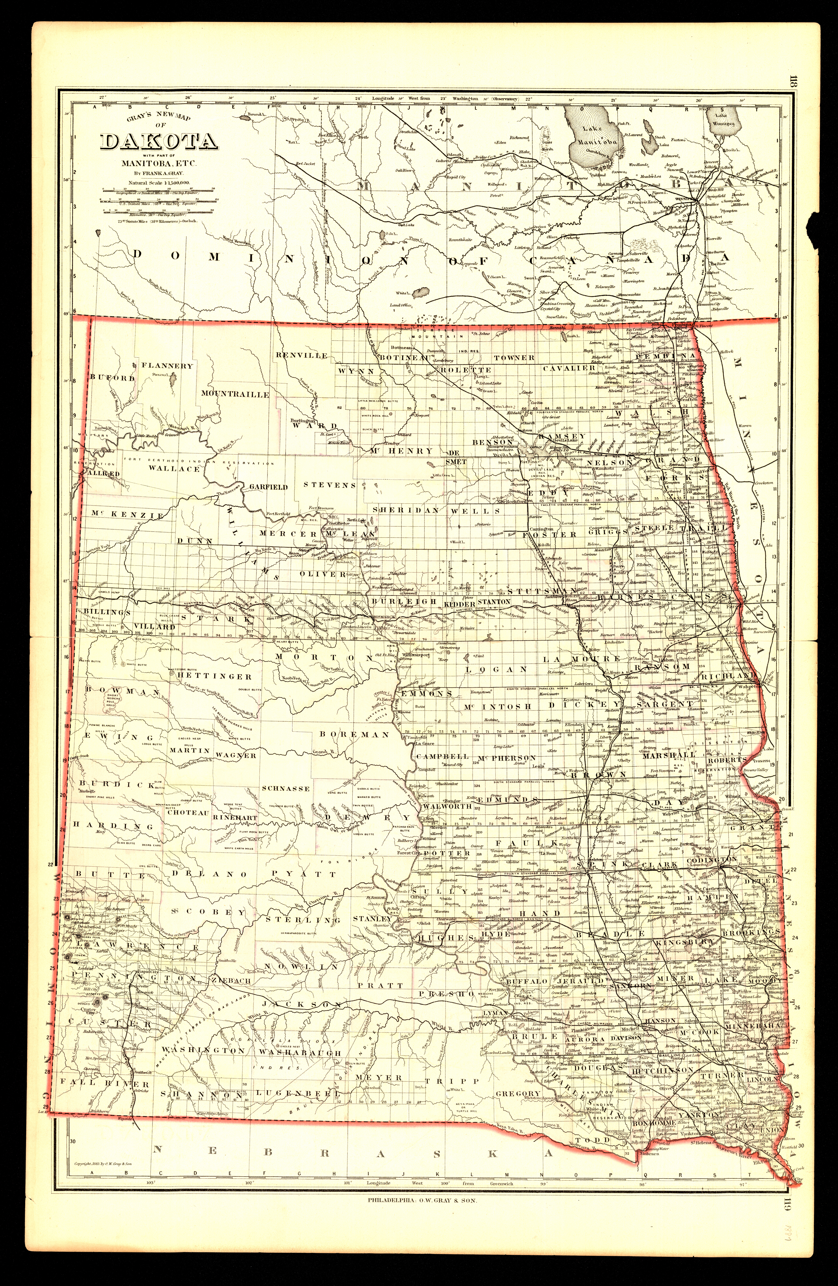
Collection: 978.402 G778g 1883 - Gray's new map of Dakota : __with part of Manitoba, etc. / __by Frank A. Gray
Folder: Library
Item: 978.402 G778g 1883
Date: Copyright 1883
Creator: Gray, Frank A
Title: Gray's new map of Dakota : __with part of Manitoba, etc. / __by Frank A. Gray
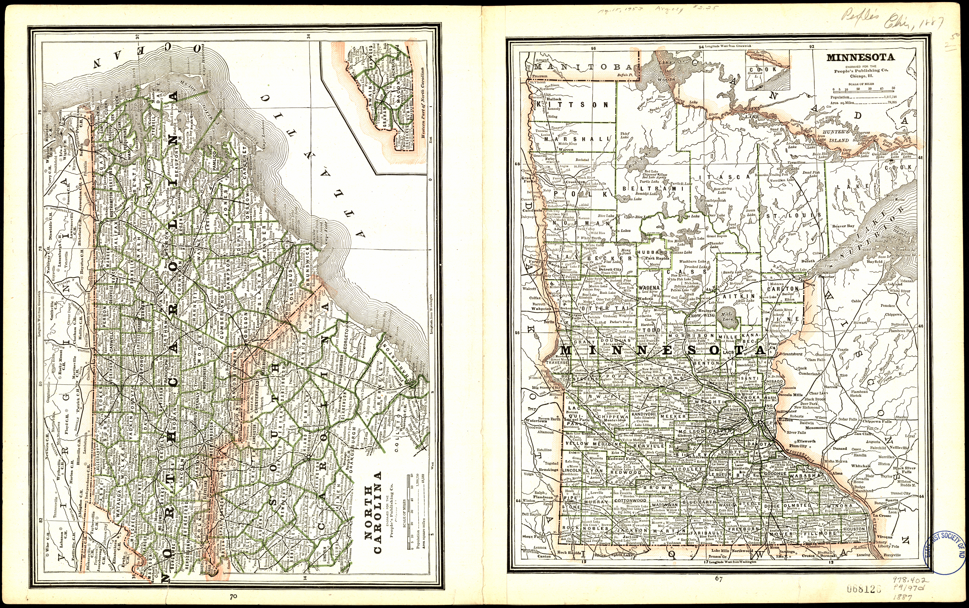
Collection: 978.402 P4197d 1887 - Dakota / __ __engraved for the People's Publishing Co
Folder: Library
Item: 978.402 P4197d 1887
Date: 1887
Creator: People's Publishing Company
Title: Dakota / __ __engraved for the People's Publishing Co
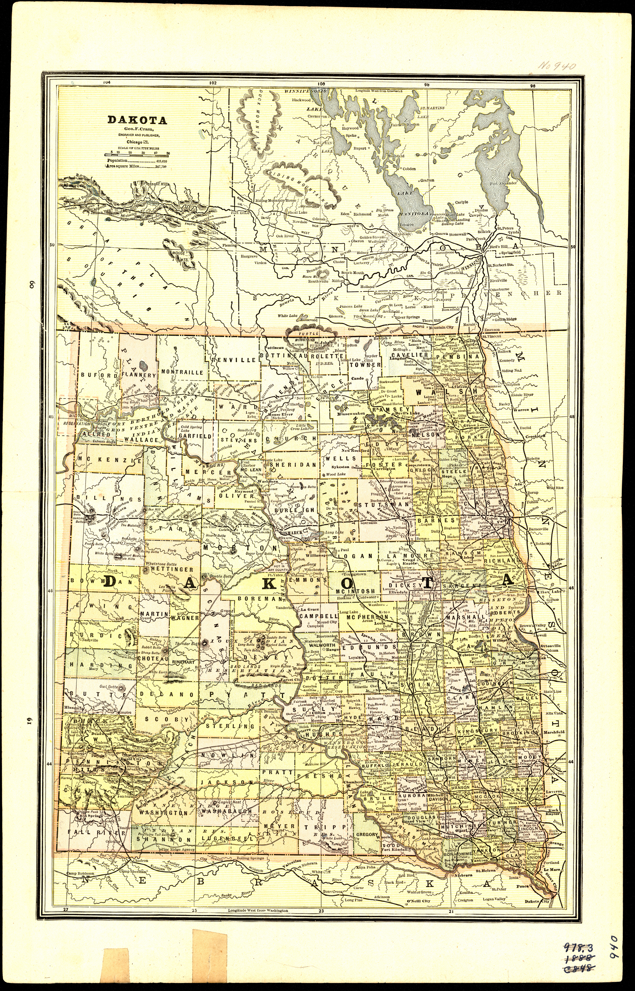
Collection: 978.402 C889d 1888 - Dakota / __ __Geo. F. Cram
Folder: Library
Item: 978.402 C889d 1888
Date: 1888
Creator: Cram, George Franklin,--1841-1928
Title: Dakota / __ __Geo. F. Cram
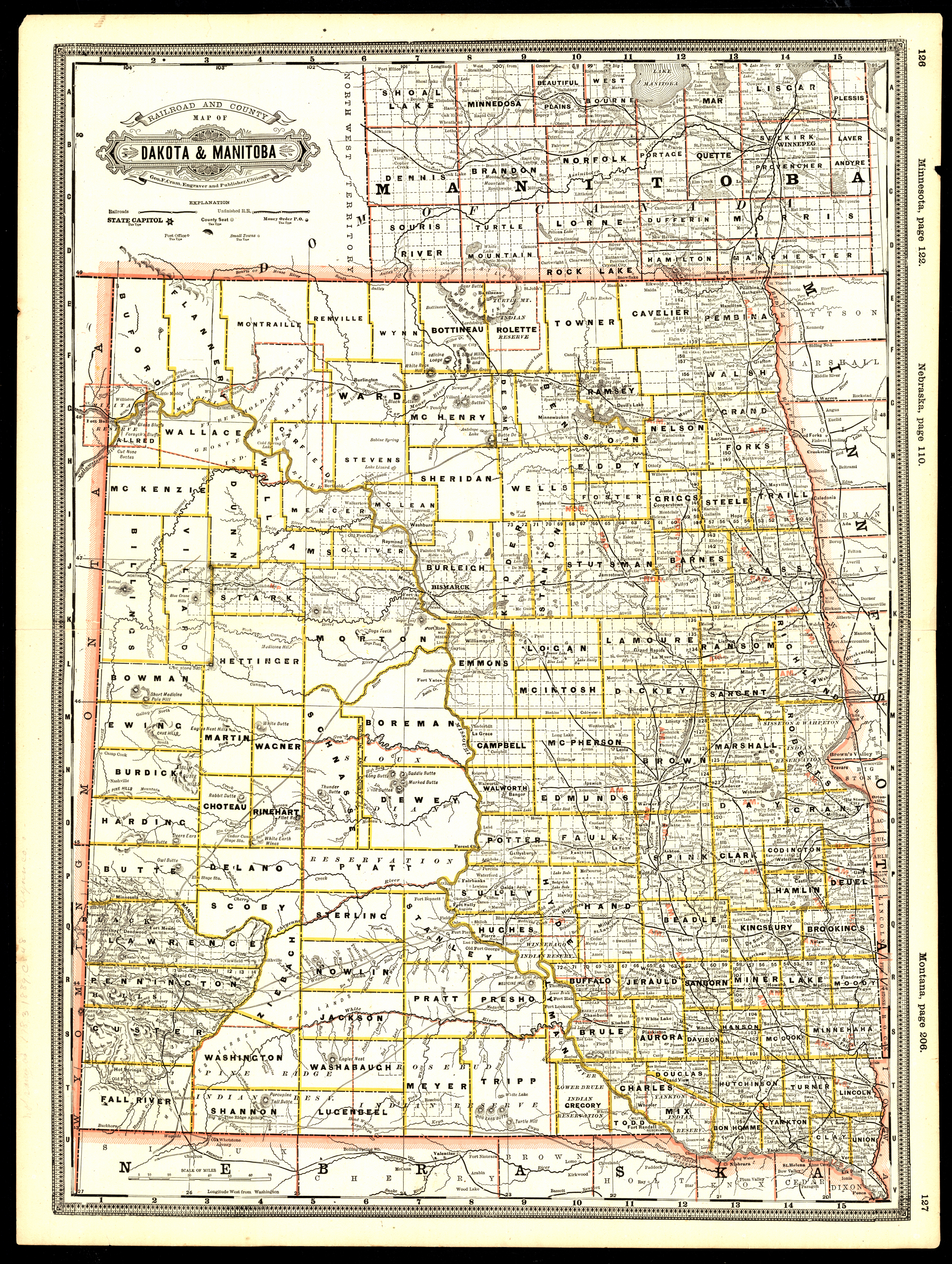
Collection: 978.402 C889r 1888 - Railroad and county map of Dakota & Manitoba / __ __Geo. F. Cram
Folder: Library
Item: 978.402 C889r 1888
Date: 1888
Creator: Cram, George Franklin,--1841-1928
Title: Railroad and county map of Dakota & Manitoba / __ __Geo. F. Cram
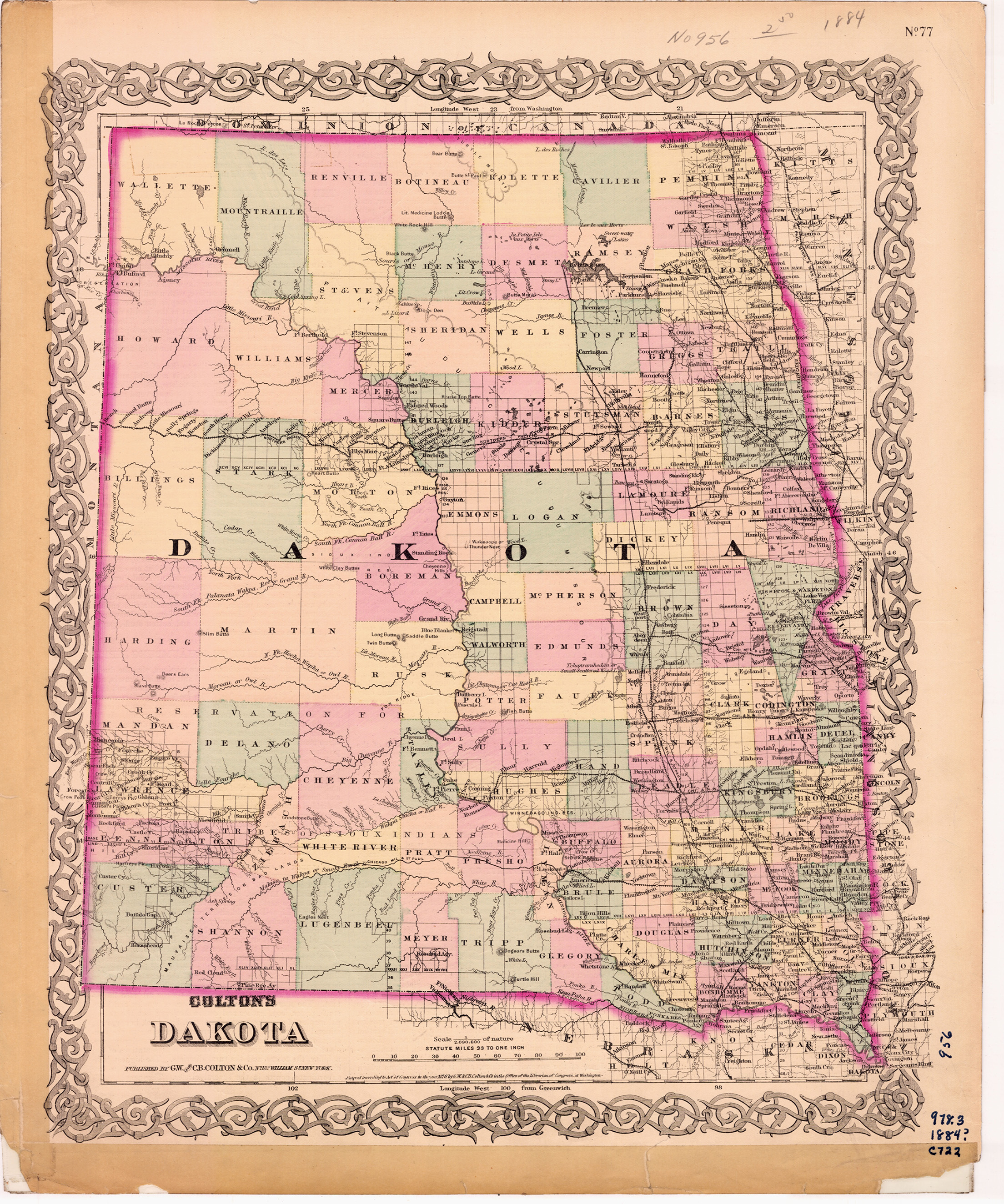
Collection: 978.402 G11c 1885 - Colton's Dakota / __ __G. W. & C.B. Colton & Co
Folder: Library
Item: 978.402 G11c 1885
Date: Copyright 1885
Creator: G.W. & C.B. Colton & Co
Title: Colton's Dakota / __ __G. W. & C.B. Colton & Co
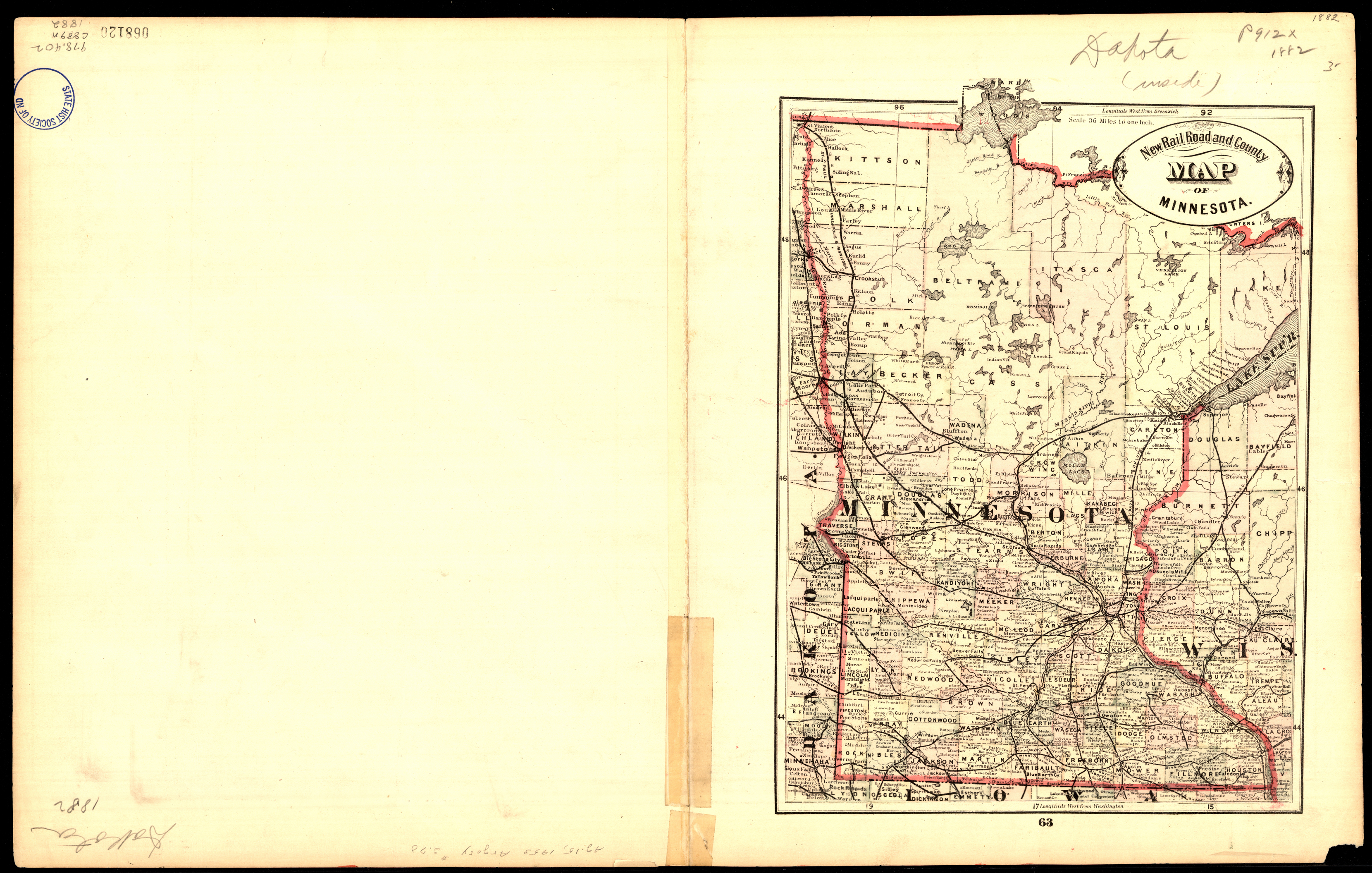
Collection: 978.402 C889n 1882 - New railroad and county map of Dakota and Manitoba
Folder: Library
Item: 978.402 C889n 1882
Date: 1882
Creator: Cram, George Franklin,--1841-1928
Title: New railroad and county map of Dakota and Manitoba
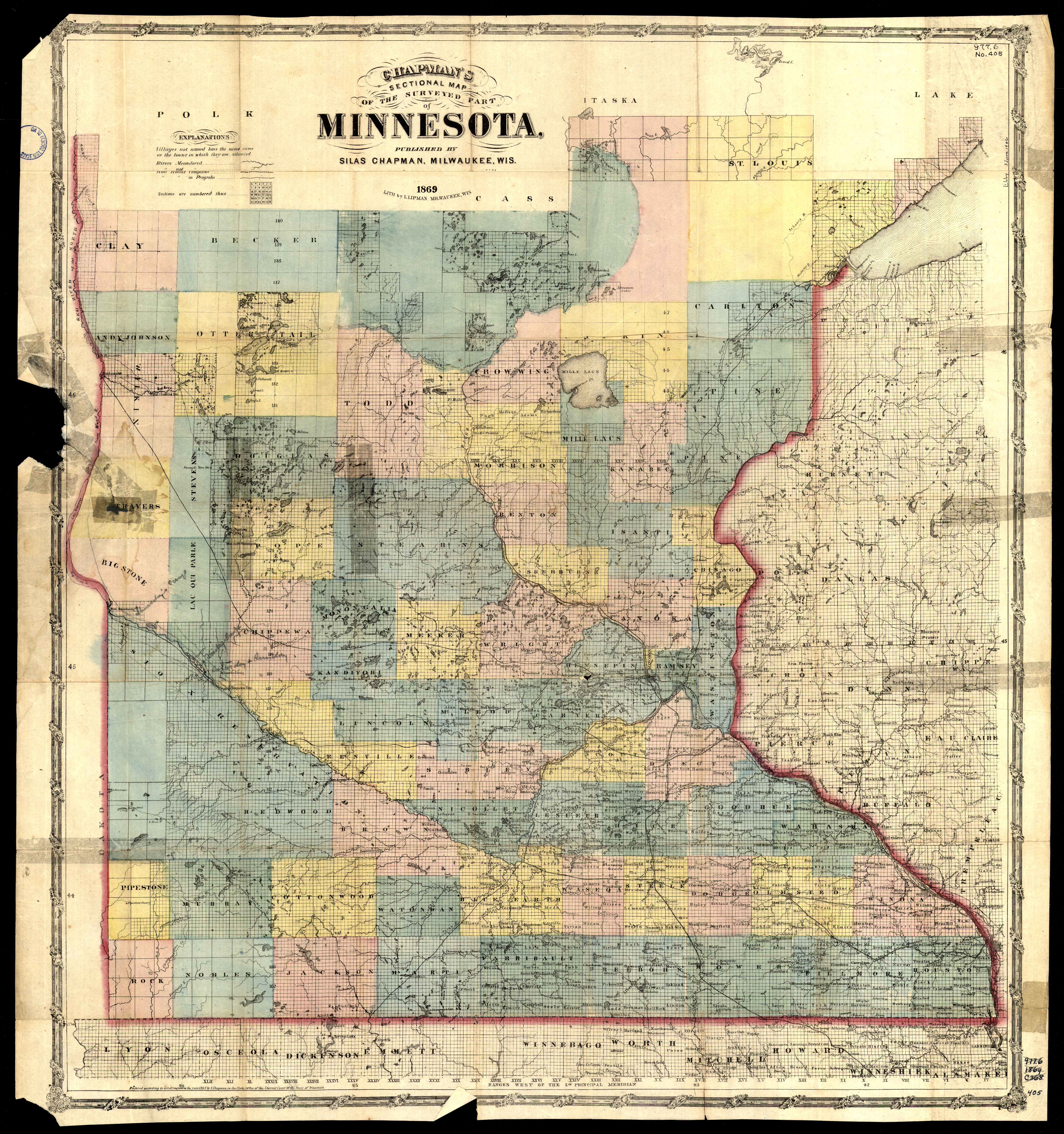
Collection: 977.604 C466c 1869 - Chapman's sectional map of the surveyed part of Minnesota
Folder: Library
Item: 977.604 C466c 1869
Date: Copyright 1865 - 1869
Creator: Chapman, Silas
Title: Chapman's sectional map of the surveyed part of Minnesota
Collection: 978.402 J66j 1864 - Johnson's Minnesota and Dakota / __ __by Johnson and Ward
Folder: Library
Item: 978.402 J66j 1864
Date: 1864
Creator: Johnson, A. J.--(Alvin Jewett),--1827-1884
Title: Johnson's Minnesota and Dakota / __ __by Johnson and Ward
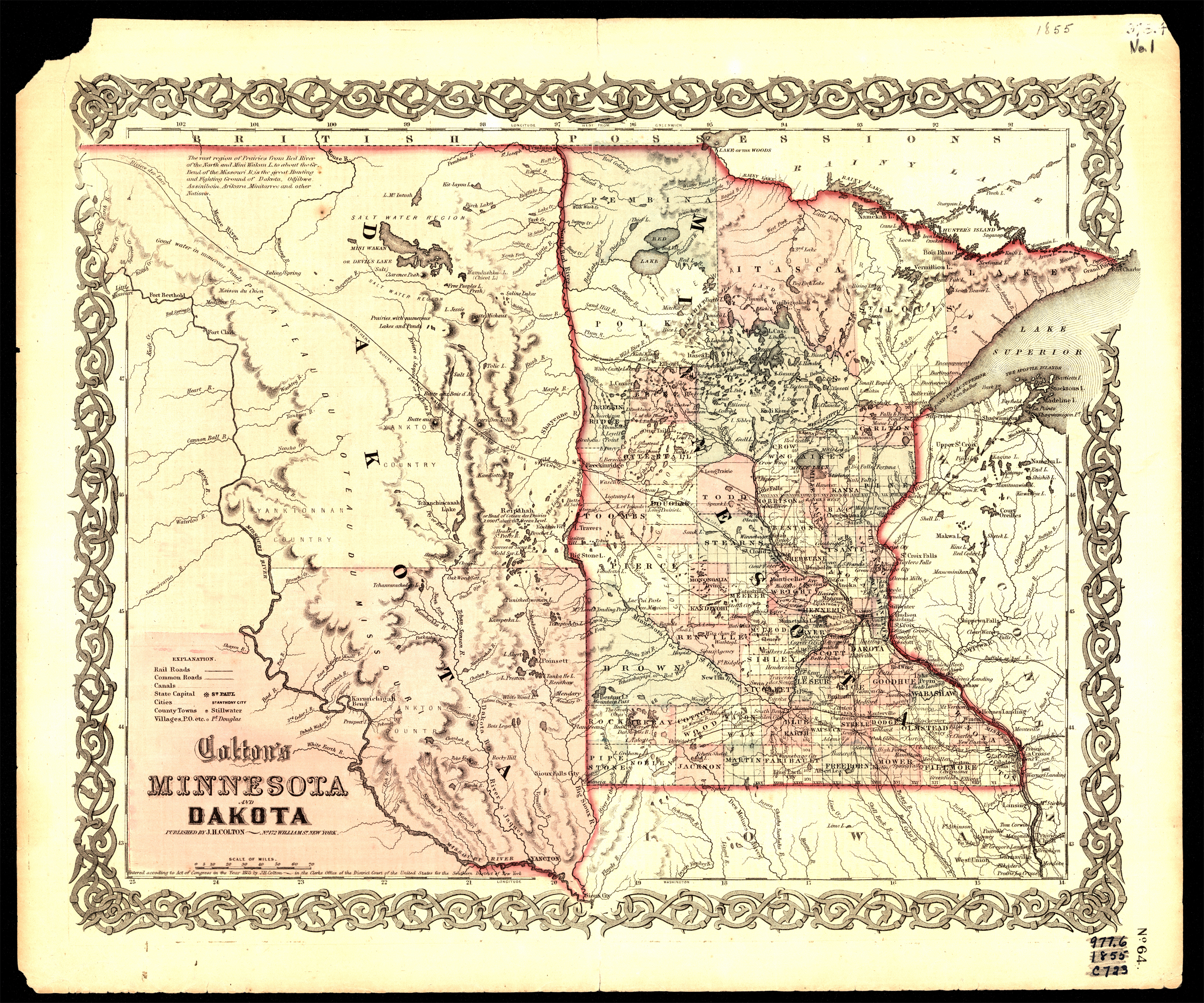
Collection: 978.401 C725c 1855 - Colton's Minnesota and Dakota
Folder: Library
Item: 978.401 C725c 1855
Date: Copyright 1855
Creator: Colton, J. H.--(Joseph Hutchins),--1800-1893
Title: Colton's Minnesota and Dakota