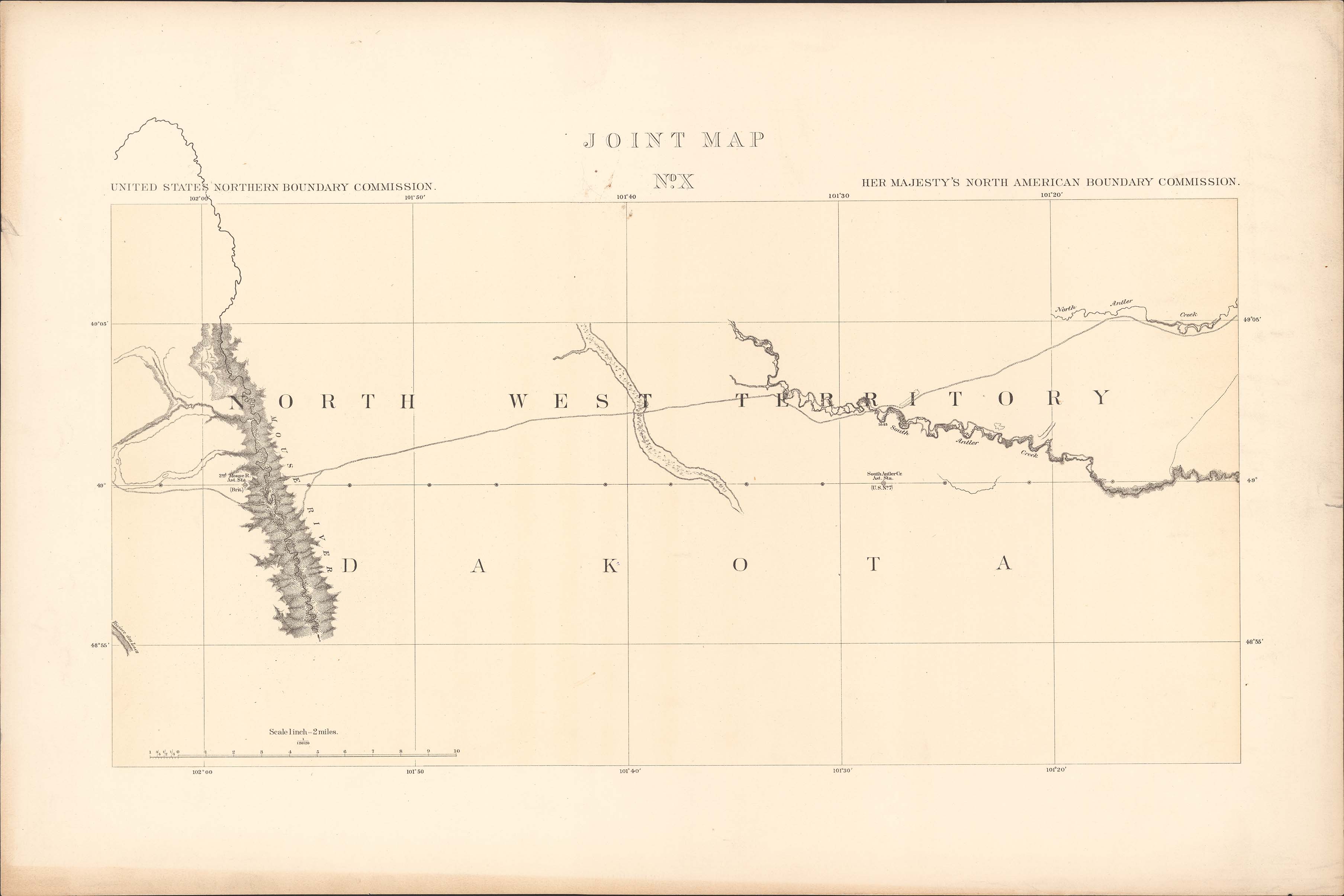
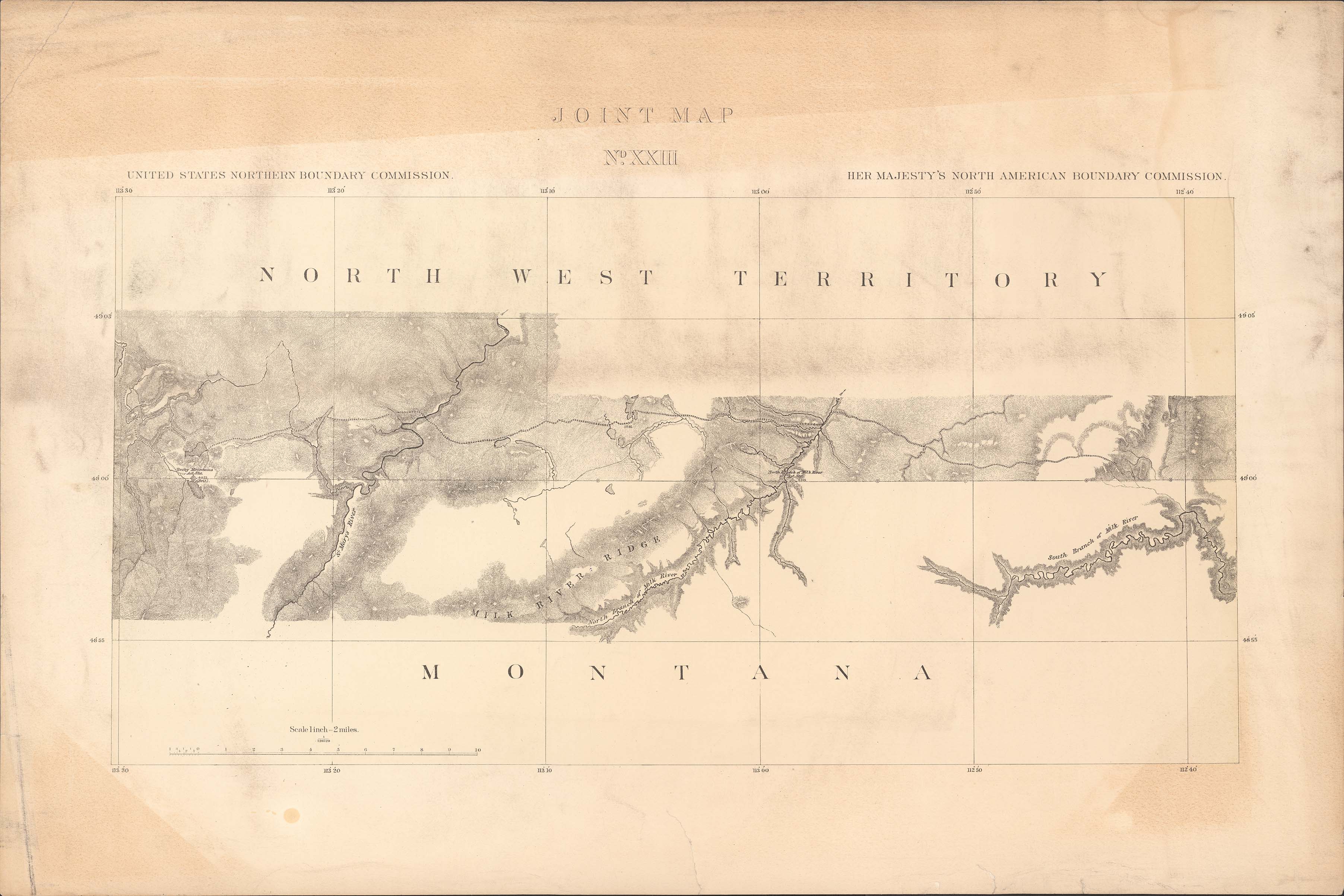
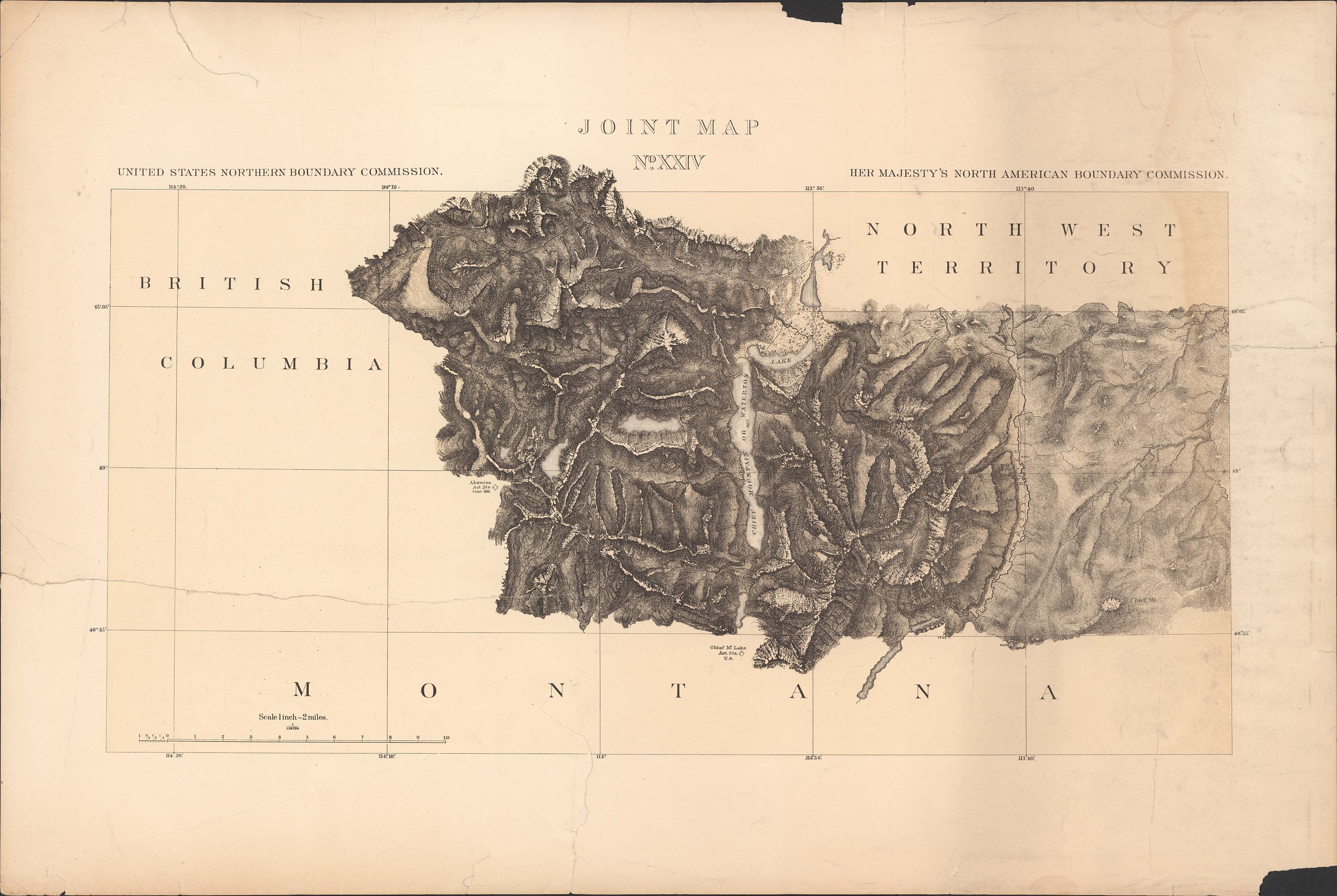
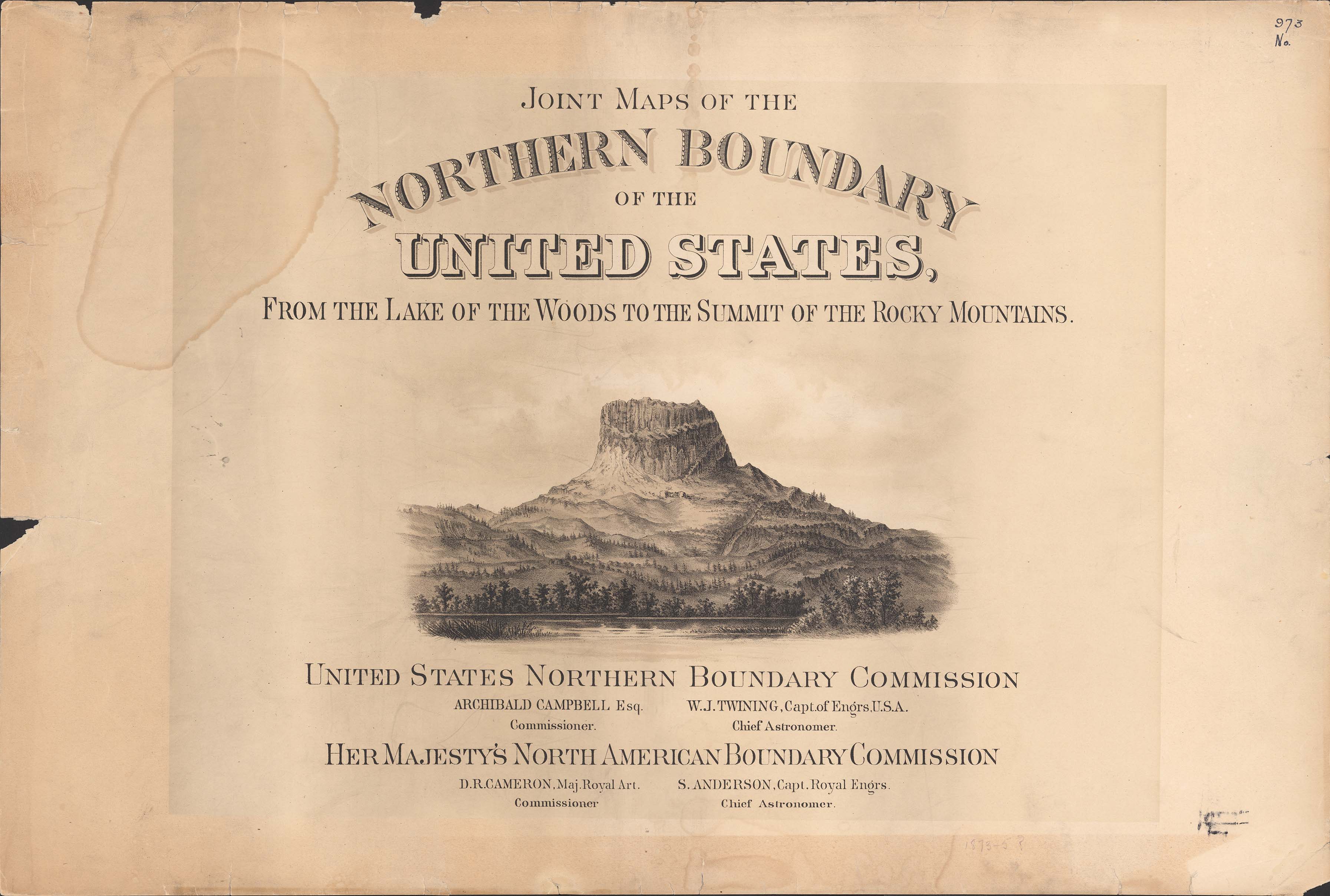
Collection: 917.98 In8 1878 - Joint maps of the Northern Boundary of the United States from the Lake of the Woods to the summit of the Rocky Mountains / __ __United States Northern Boundary Commission ; Archibald Campbell, commissioner ; W.J. Twining, chief astronomer ; Her Majesty's North American Boundary Commission ; D.R. Cameron, commissioner ; S. Anderson, chief astronomer
Folder:
Library
Item:
917.98 In8 1878
Date:
1878
Creator:
North American Boundary Commission
Title:
Joint maps of the Northern Boundary of the United States from the Lake of the Woods to the summit of the Rocky Mountains / __ __United States Northern Boundary Commission ; Archibald Campbell, commissioner ; W.J. Twining, chief astronomer ; Her Majesty's North American Boundary Commission ; D.R. Cameron, commissioner ; S. Anderson, chief astronomer
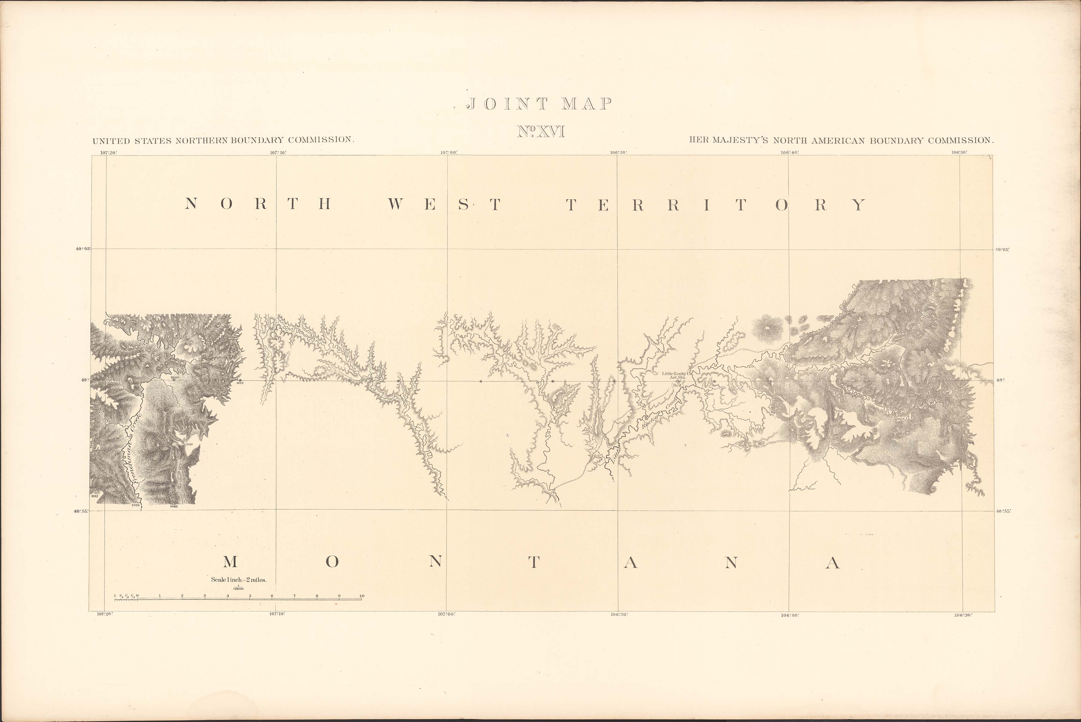
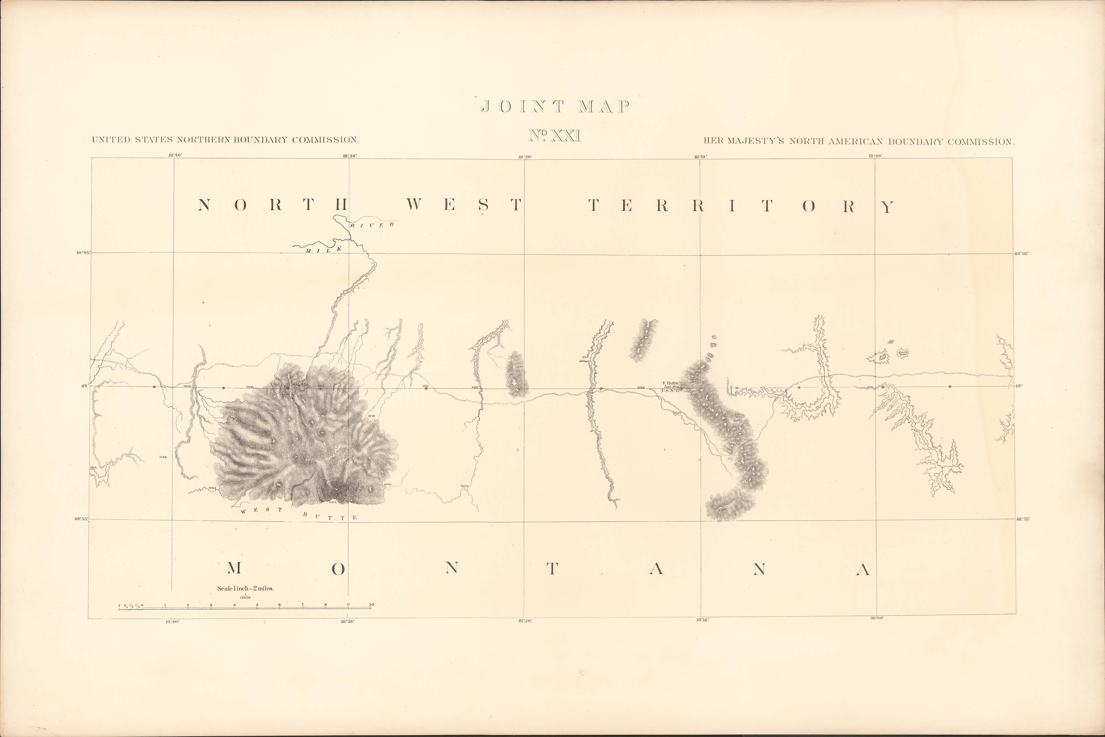
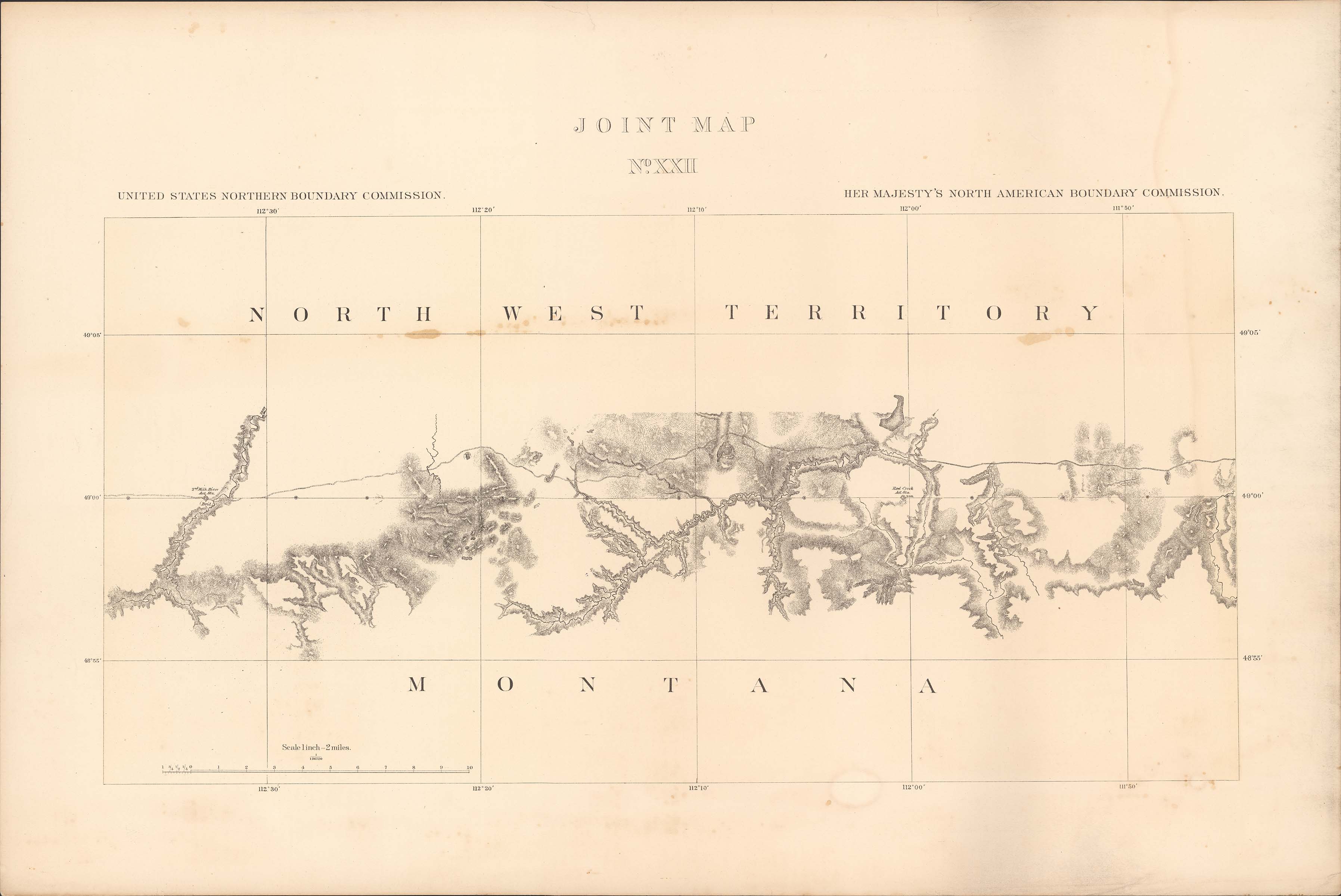
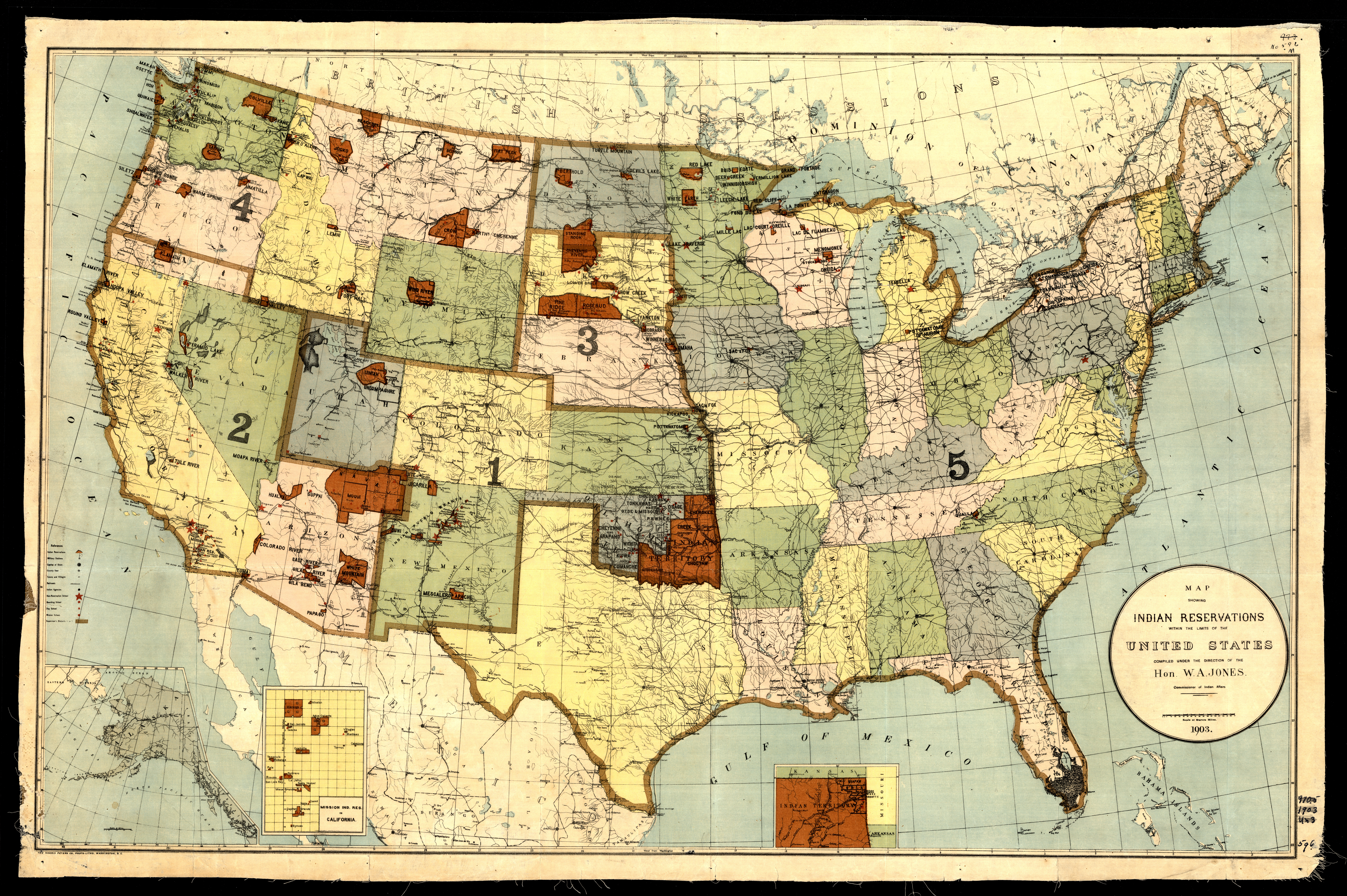
Collection: 973.00497 U5813m 1903 - Map showing Indian reservations within the limits of the United States / __ __compiled under the direction of W.A. Jones, Commissioner of Indian Affairs
Folder:
Library
Item:
973.00497 U5813m 1903
Date:
1903
Creator:
United States.--Office of Indian Affairs
Title:
Map showing Indian reservations within the limits of the United States / __ __compiled under the direction of W.A. Jones, Commissioner of Indian Affairs
Collection: 978.02 P479v 1873 - Vereinigte Staaten von Nord-Amerika in 6 Blattern, Bl. 2 / __ __Petermann
Folder:
Library
Item:
978.02 P479v 1873
Date:
1873
Creator:
Petermann, A.--(August),--1822-1878
Title:
Vereinigte Staaten von Nord-Amerika in 6 Blattern, Bl. 2 / __ __Petermann
Collection: 973.6 A8873 1850 - Political map of the United States, Mexico and the British provinces : __adapted to Woodbridge's Geography / __engraved by J.M. Atwood
Folder:
Library
Item:
973.6 A8873 1850
Date:
Copyright 1845 - 1850
Creator:
Atwood, John M.,--approximately 1818-
Title:
Political map of the United States, Mexico and the British provinces : __adapted to Woodbridge's Geography / __engraved by J.M. Atwood
Collection: 978.452 M297 - Map of Stutsman County, North Dakota
Folder:
Library
Item:
978.452 M297
Date:
1912 - 1916
Creator:
Title:
Map of Stutsman County, North Dakota
Collection: 978.402 G76r 1886 - Railroad and county map of Dakota / __ __A.A. Grant
Folder:
Library
Item:
978.402 G76r 1886
Date:
1886
Creator:
Grant, A. A
Title:
Railroad and county map of Dakota / __ __A.A. Grant
Collection: 973.00497 U5813m 1907 - Map showing Indian reservations within the limits of the United States / __ __compiled under the direction of the Hon. F.E. Leupp
Folder:
Library
Item:
973.00497 U5813m 1907
Date:
1907
Creator:
United States.--Office of Indian Affairs
Title:
Map showing Indian reservations within the limits of the United States / __ __compiled under the direction of the Hon. F.E. Leupp
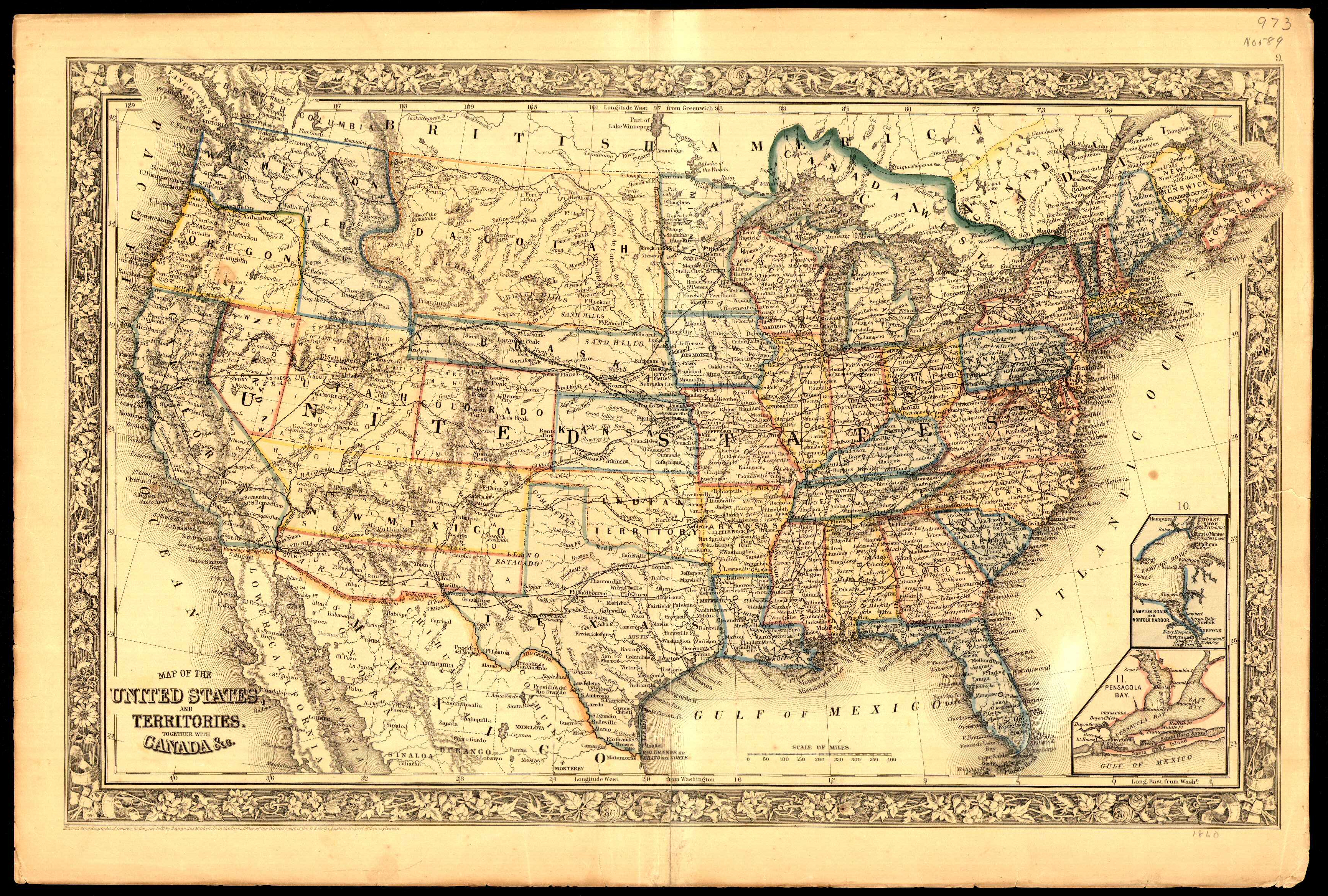
Collection: 973.68 M68m 1860 - Map of the United States and territories, together with Canada &c.
Folder:
Library
Item:
973.68 M68m 1860
Date:
1860
Creator:
Mitchell, S. Augustus--(Samuel Augustus),--Jr
Title:
Map of the United States and territories, together with Canada &c.
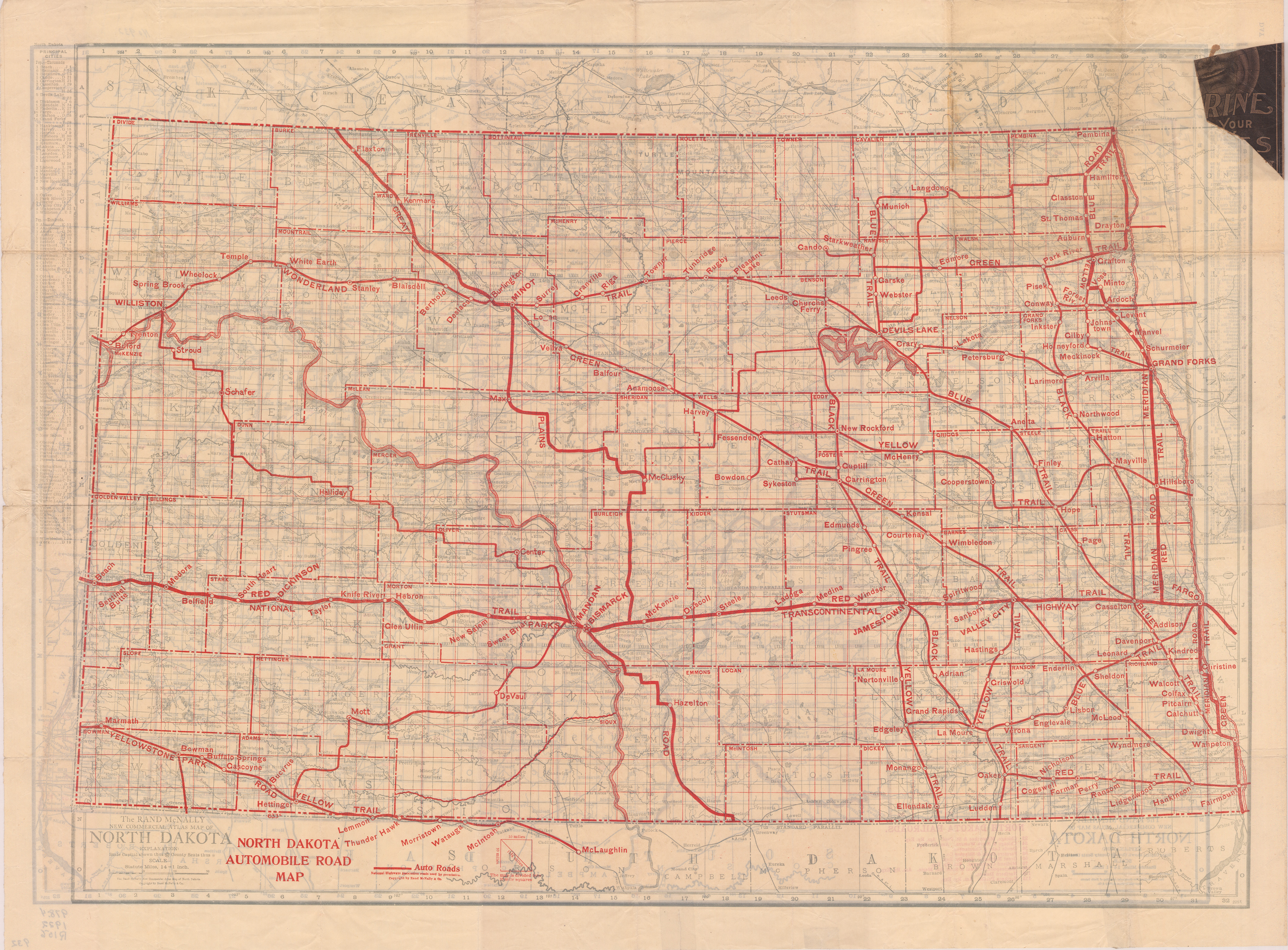
Collection: 978.4032 R186c 1919 - The Rand McNally new commercial atlas map of North Dakota ; __North Dakota automobile road map
Folder:
Library
Item:
978.4032 R186c 1919
Date:
1919
Creator:
Rand McNally and Company
Title:
The Rand McNally new commercial atlas map of North Dakota ; __North Dakota automobile road map
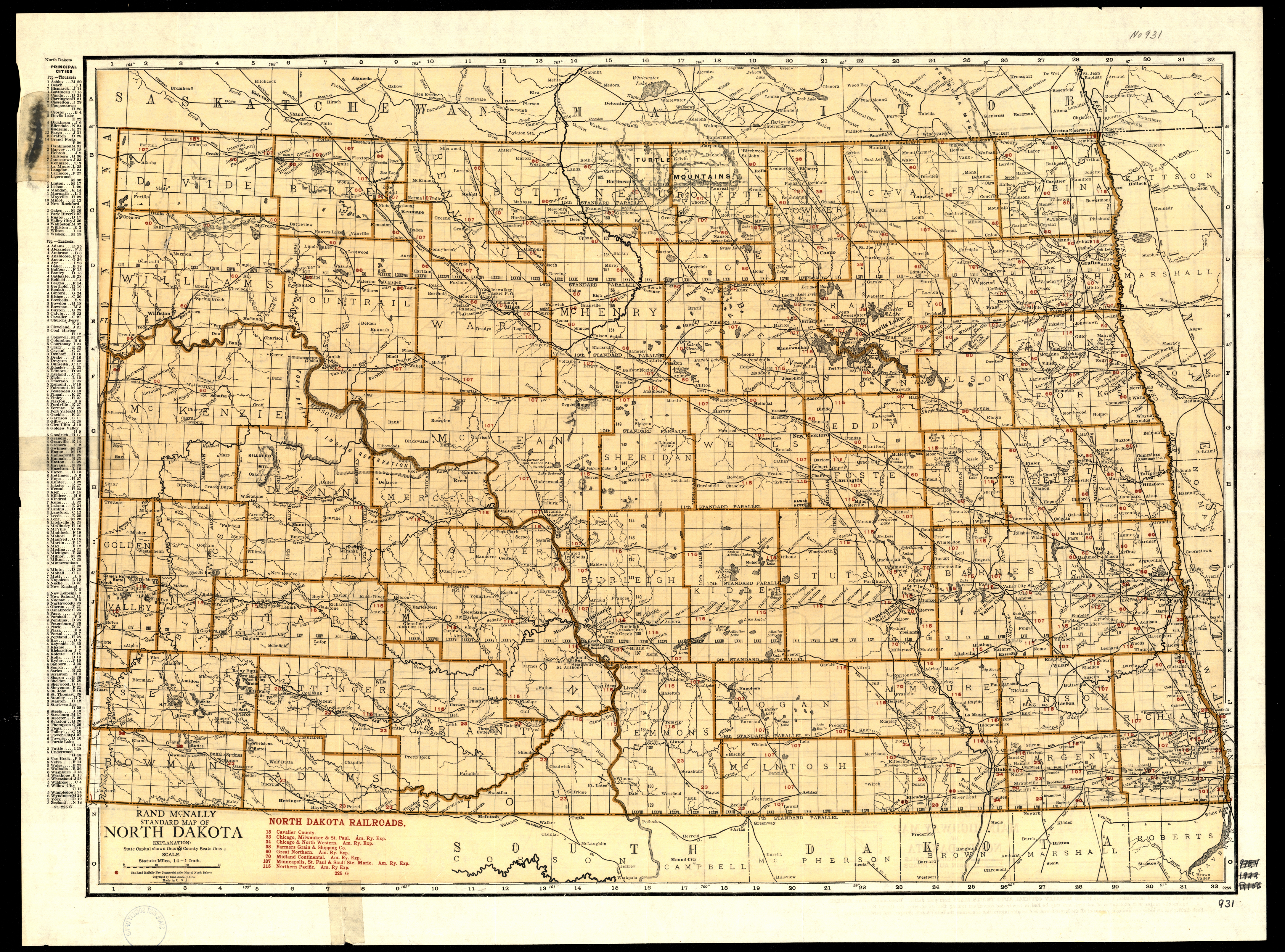
Collection: 978.4032 R186st 1922 - Rand McNally standard map of North Dakota ; __Rand McNally main highway map of North Dakota
Folder:
Library
Item:
978.4032 R186st 1922
Date:
Copyright 1922
Creator:
Rand McNally and Company
Title:
Rand McNally standard map of North Dakota ; __Rand McNally main highway map of North Dakota
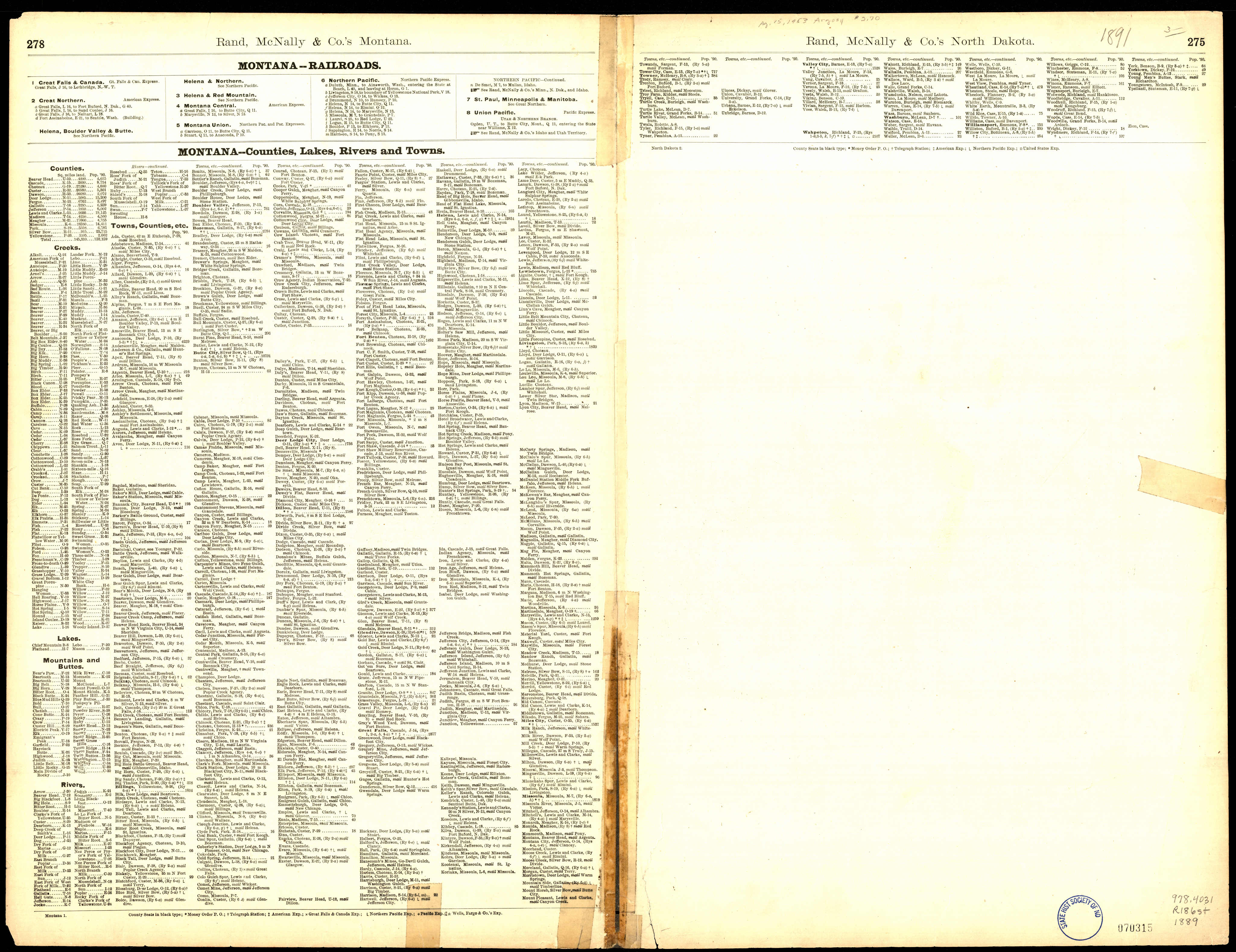
Collection: 978.4031 R186st 1889 - Rand, McNally & Co.'s North Dakota
Folder:
Library
Item:
978.4031 R186st 1889
Date:
Copyright 1889
Creator:
Rand McNally and Company
Title:
Rand, McNally & Co.'s North Dakota
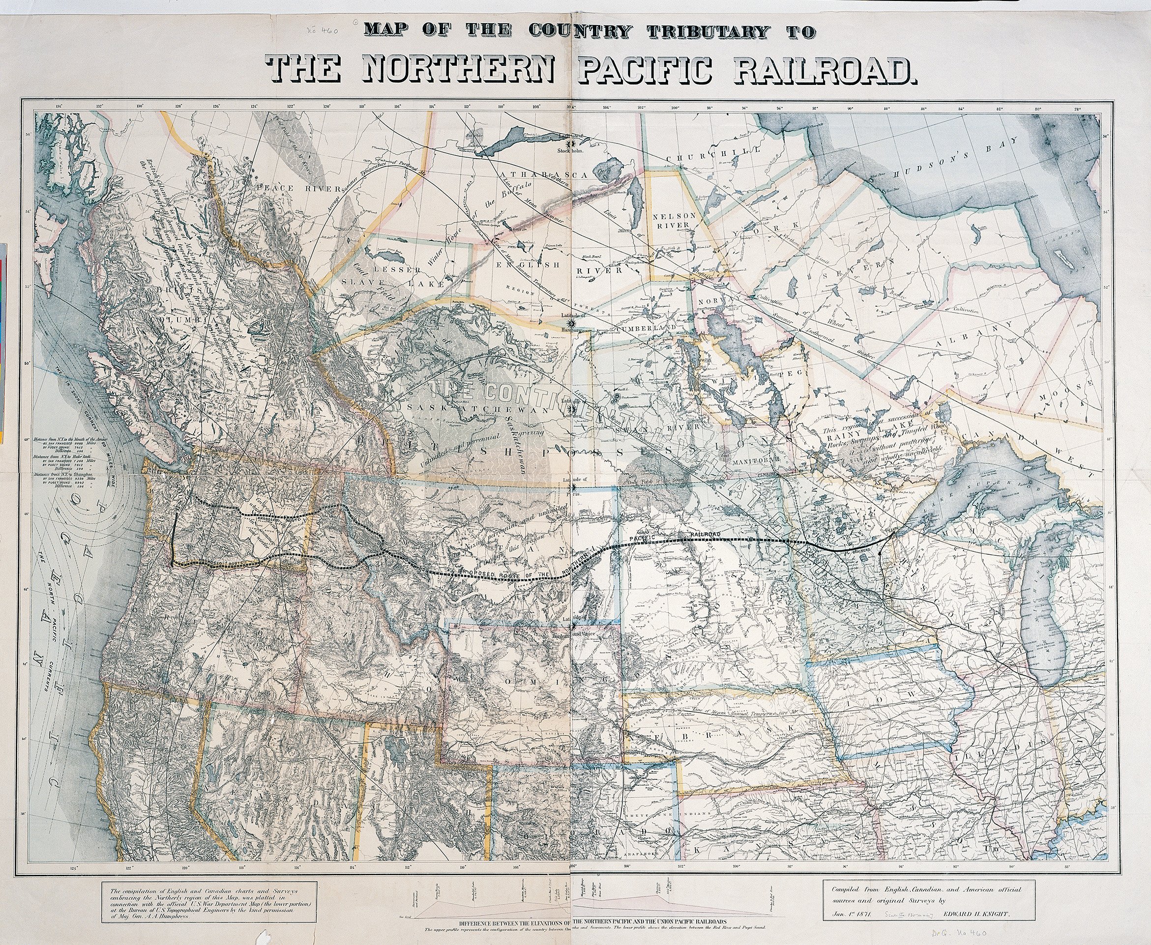
Collection: 385 K692m 1871 - Map of the country tributary to the Northern Pacific Railroad / __ __compiled from English, Canadian, and American official sources and original surveys by Edward H. Knight, Jan. 1st 1871
Folder:
Library
Item:
385 K692m 1871
Date:
1871
Creator:
Knight, E. H.--(Edward H.)
Title:
Map of the country tributary to the Northern Pacific Railroad / __ __compiled from English, Canadian, and American official sources and original surveys by Edward H. Knight, Jan. 1st 1871
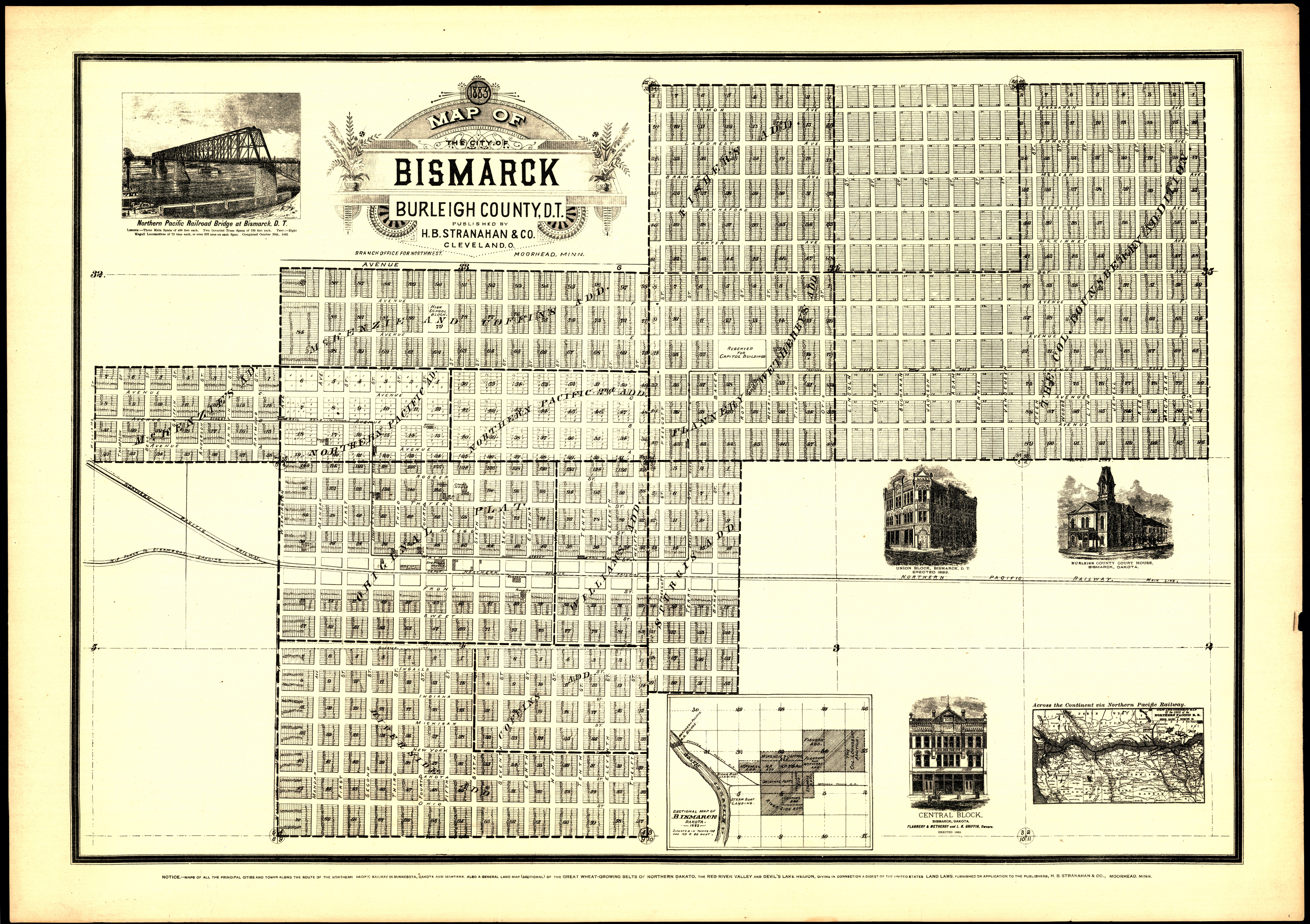
Collection: 978.477 M297b 1883 - Map of the City of Bismarck, Burleigh County, D.T. / __ __published by H.B. Stranahan & Co
Folder:
Library
Item:
978.477 M297b 1883
Date:
1883
Creator:
Title:
Map of the City of Bismarck, Burleigh County, D.T. / __ __published by H.B. Stranahan & Co
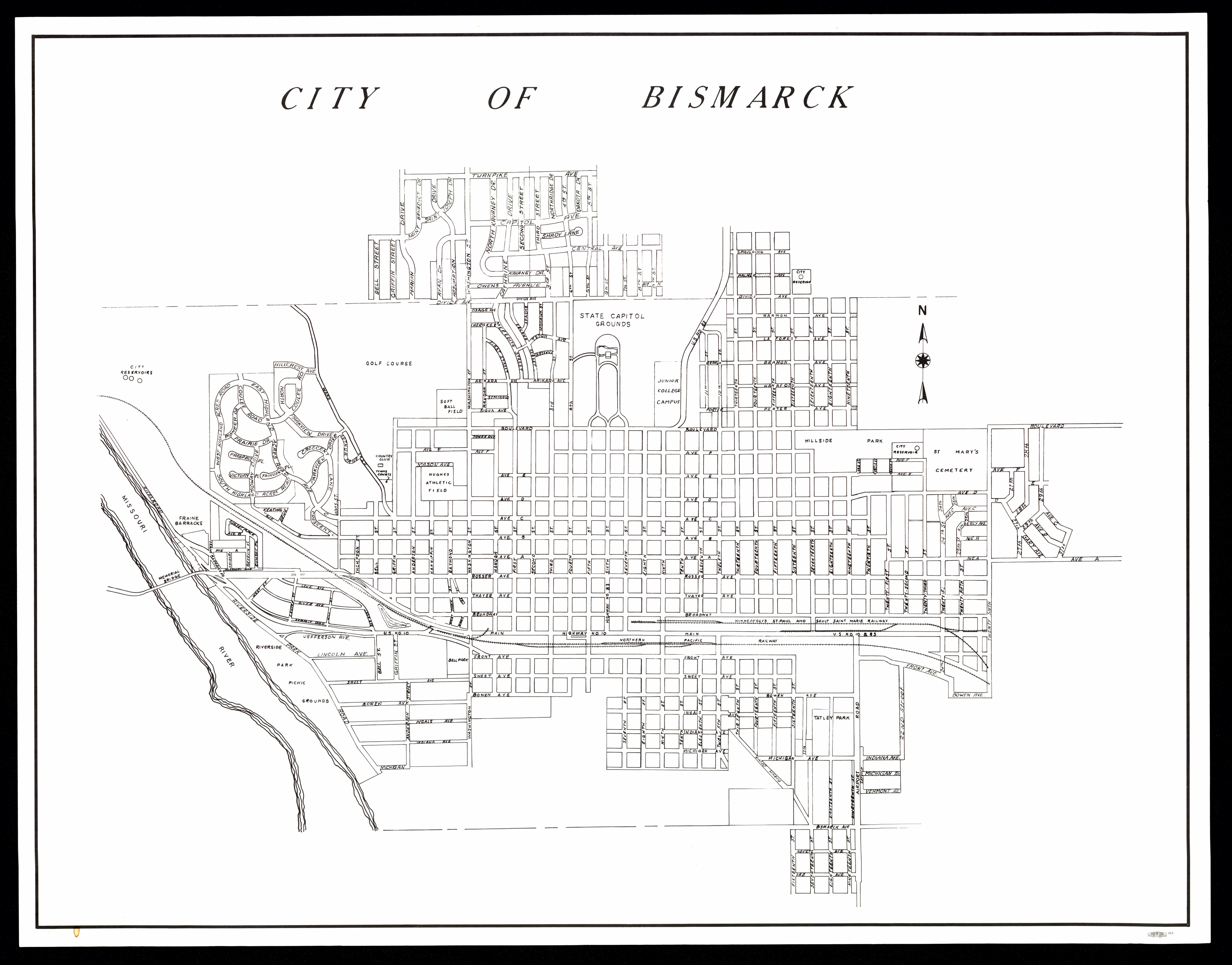
Collection: 978.477 C58 - City of Bismarck
Folder:
Library
Item:
978.477 C58
Date:
1955 - 1961
Creator:
Title:
City of Bismarck
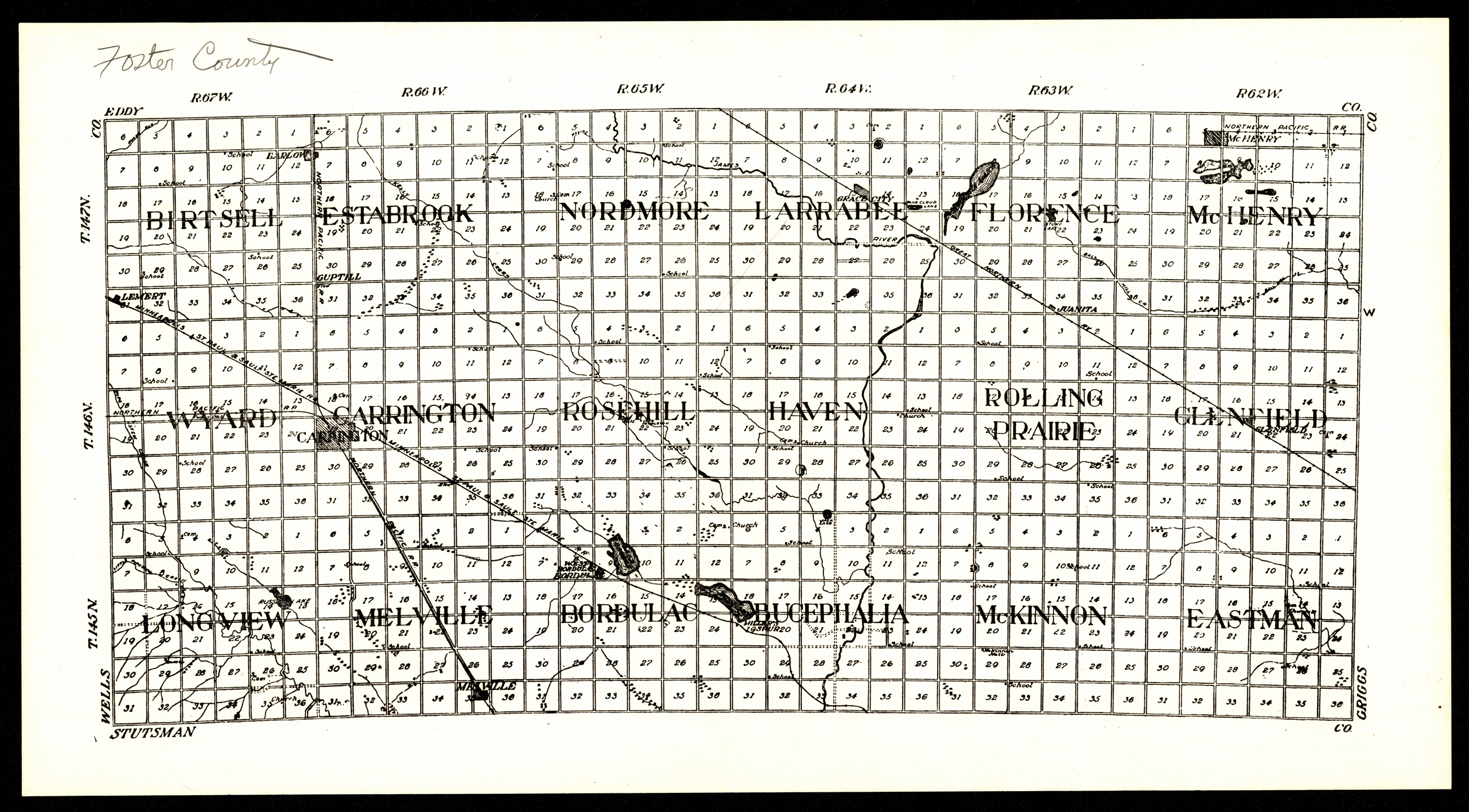
Collection: 978.4516 F754 1929 - [Foster County, North Dakota]
Folder:
Library
Item:
978.4516 F754 1929
Date:
1929
Creator:
Title:
[Foster County, North Dakota]
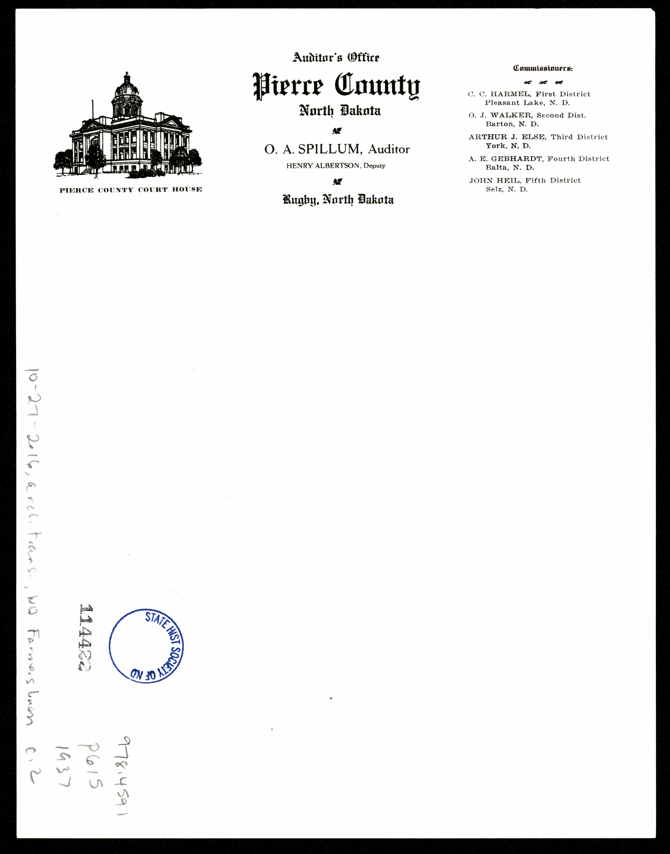
Collection: 978.4591 P615 1937 - Pierce County, North Dakota
Folder:
Library
Item:
978.4591 P615 1937
Date:
1937
Creator:
Title:
Pierce County, North Dakota
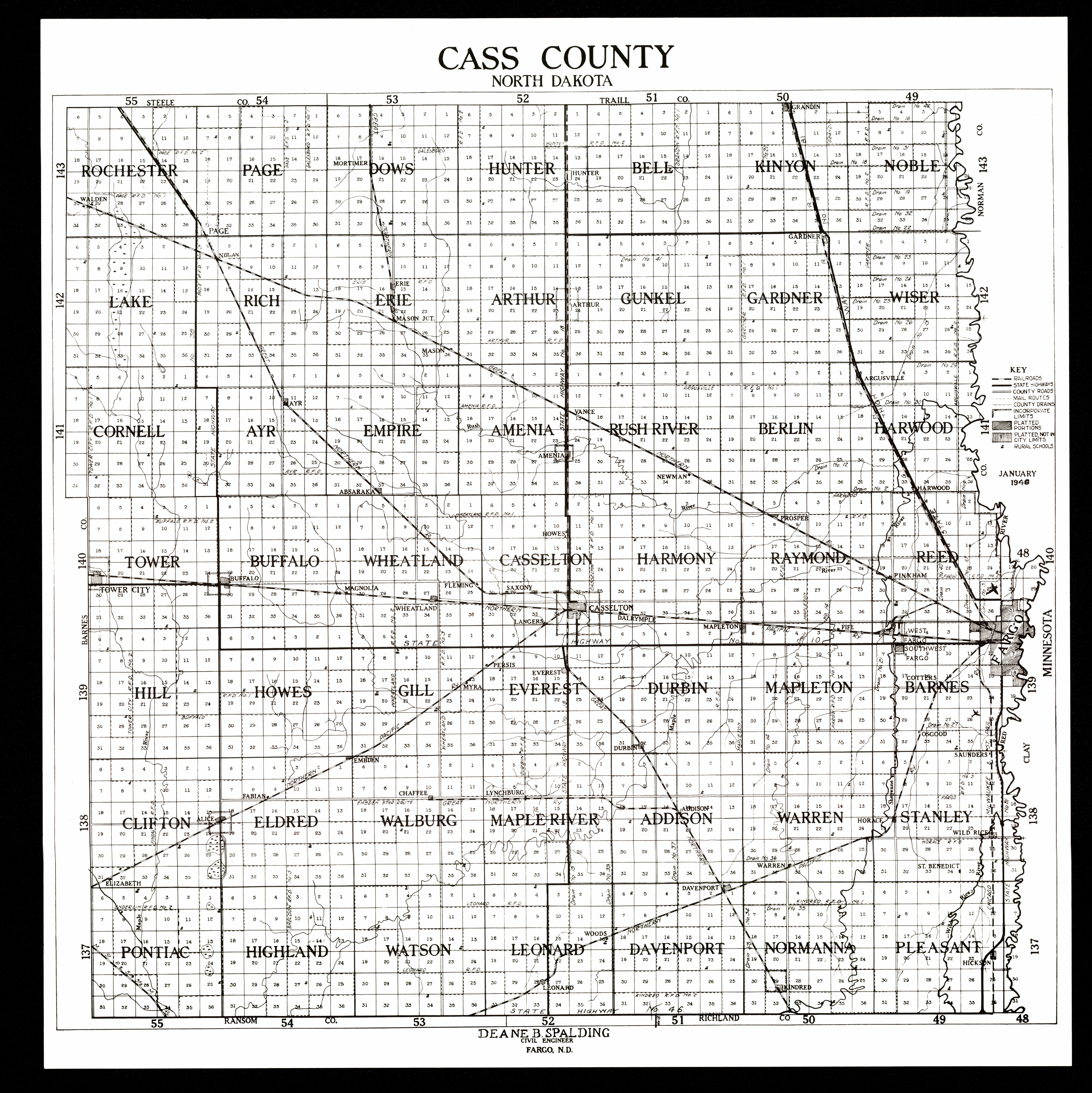
Collection: 978.413 S734c 1948 - Cass County, North Dakota / __ __Deane B. Spalding
Folder:
Library
Item:
978.413 S734c 1948
Date:
1948
Creator:
Spalding, Deane B
Title:
Cass County, North Dakota / __ __Deane B. Spalding
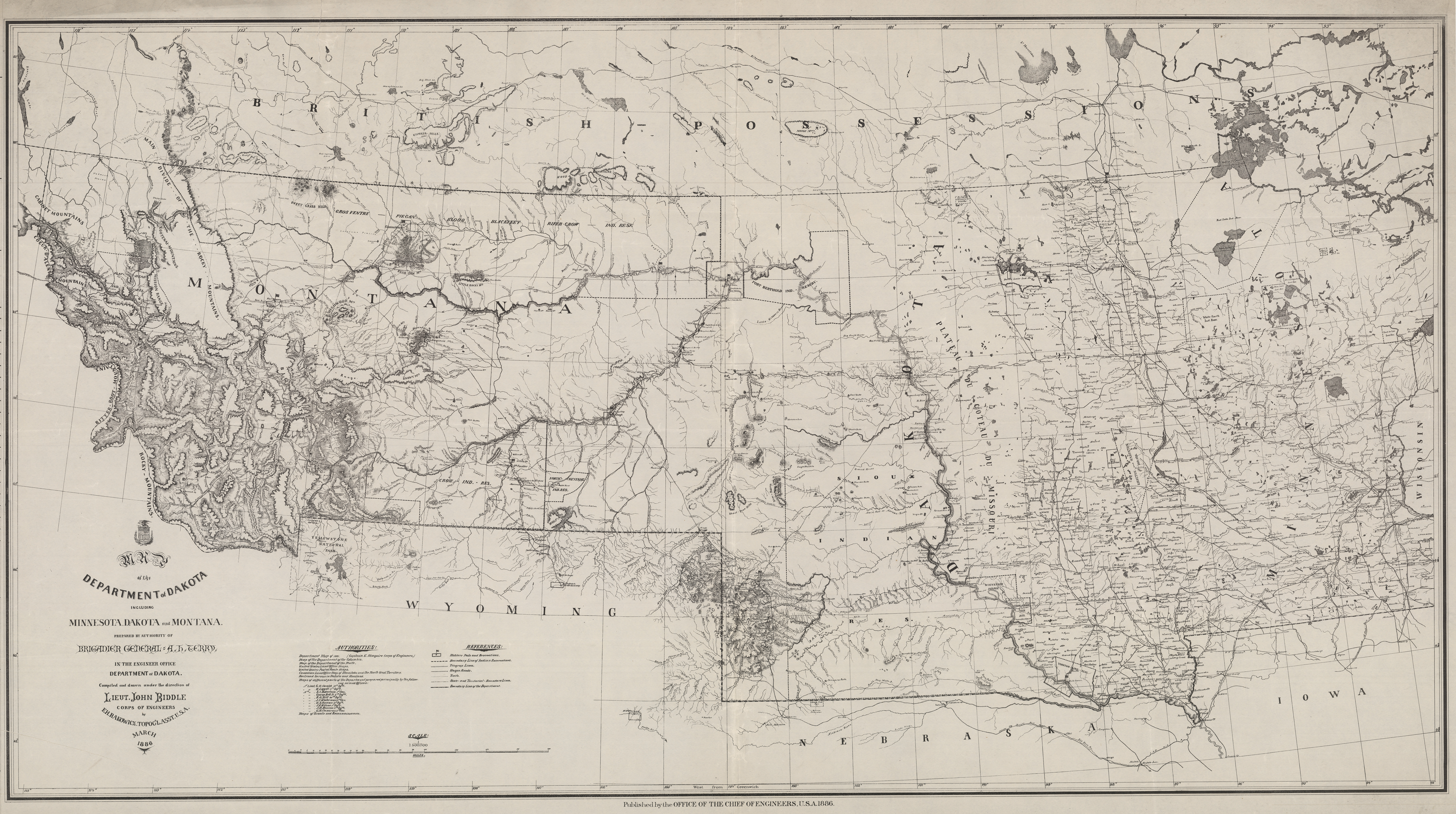
Collection: 978.02 R162m 1886 - Map of the Department of Dakota : __including Minnesota, Dakota and Montana / __compiled and drawn under the direction of John Biddle by E.H. Rakowicz
Folder:
Library
Item:
978.02 R162m 1886
Date:
1886
Creator:
Rakowicz, E. H
Title:
Map of the Department of Dakota : __including Minnesota, Dakota and Montana / __compiled and drawn under the direction of John Biddle by E.H. Rakowicz
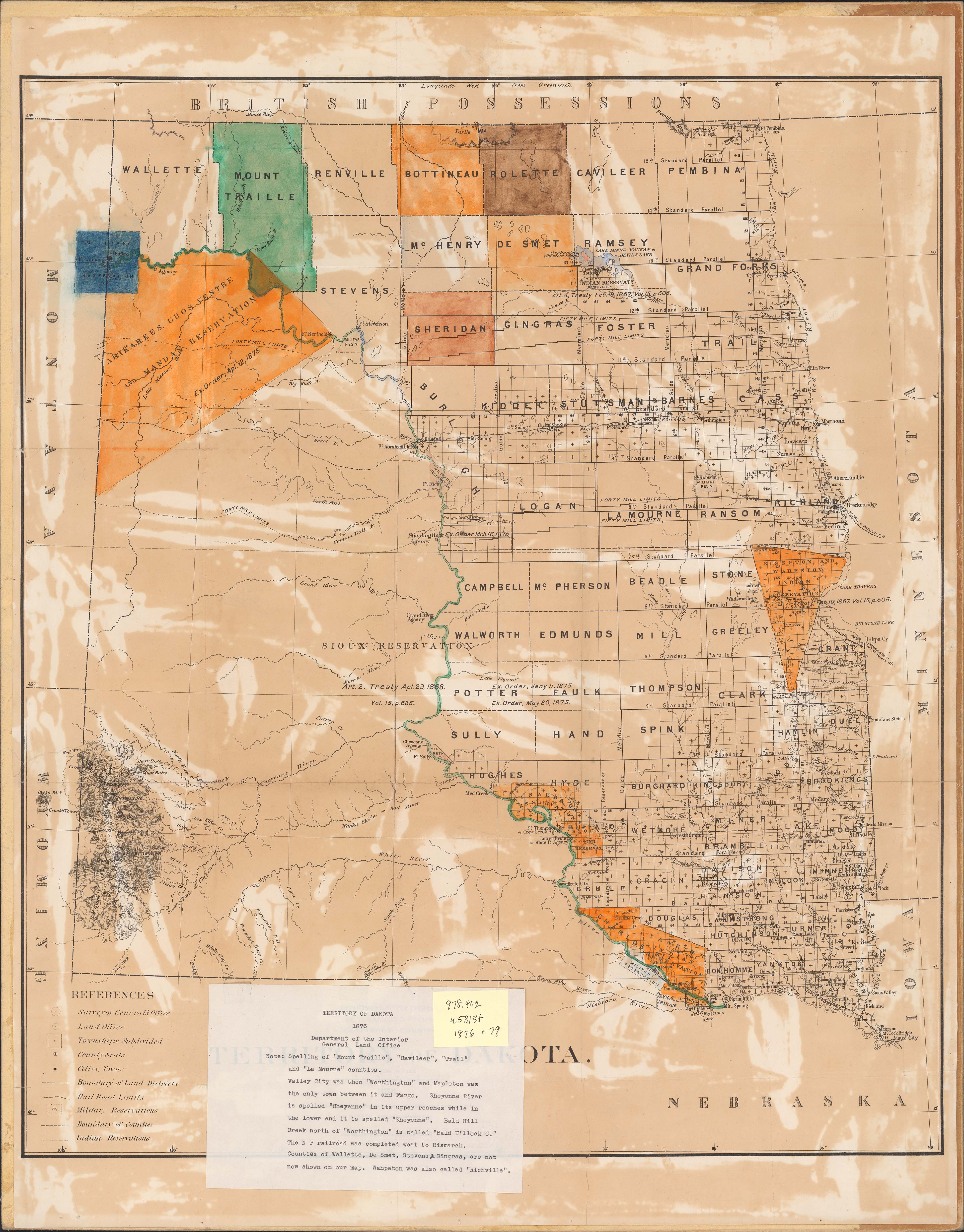
Collection: 978.402 U5813t 1876 - Territory of Dakota / __ __compiled from the official records of the General Land Office and other sources by C. Roeser, principal draughtsman
Folder:
Library
Item:
978.402 U5813t 1876
Date:
1876
Creator:
United States.--General Land Office
Title:
Territory of Dakota / __ __compiled from the official records of the General Land Office and other sources by C. Roeser, principal draughtsman